Magnitude 6.7 earthquake hits Papua New Guinea

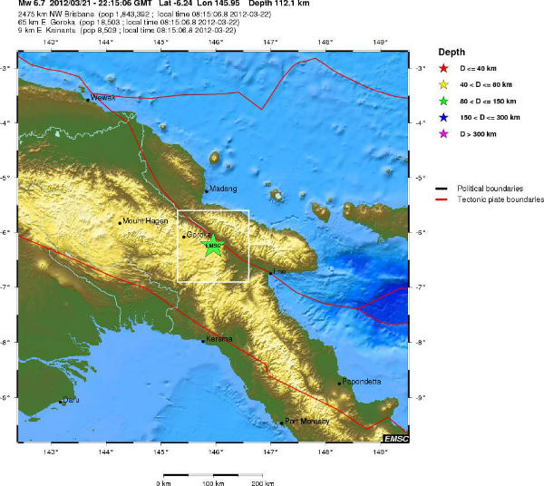
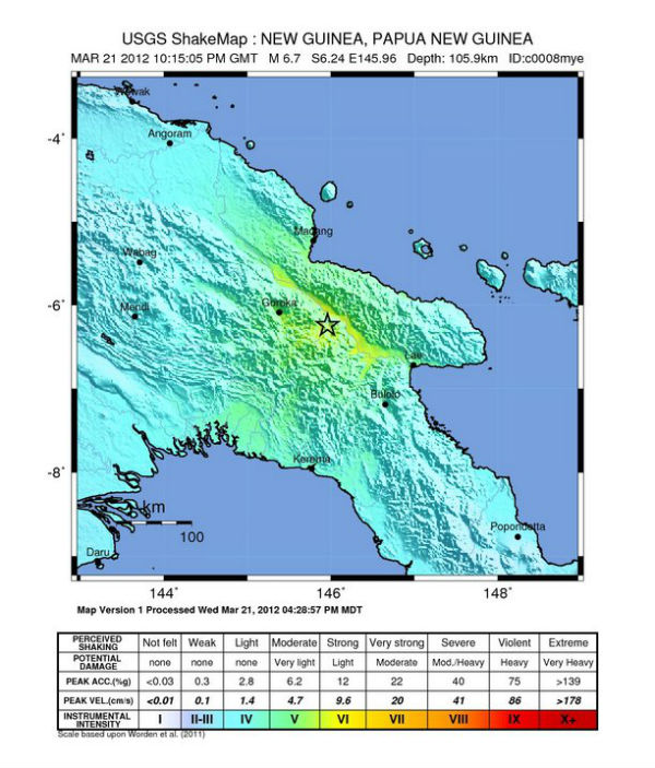
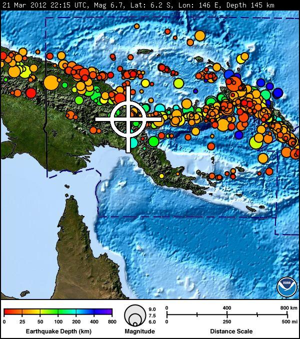
Magnitude 6.7 earthquake struck 9 km east of Kainantu (with population of 8,509 people) at Papua New Guinea, on March 21, 2012 at 22:15:05 UTC (08:15:05 AM by local time) according to USGS and EMSC. The epicenter was located 66 km (41 miles) east-southeast of Goroka, New Guinea, PNG, 114 km (70 miles) south of Madang, New Guinea, PNG and 382 km (237 miles) north-northwest of Port Moresby, Papua New Guinea (6.244°S, 145.959°E). The depth of epicenter was at 105.9 km (65.8 miles).
| Preliminary (PTWC) | Official (USGS) | |
|---|---|---|
| Origin Time: | 21 Mar 2012 22:15 UTC | 21 Mar 2012 22:15 UTC |
| Magnitude: | 6.7 Mwp
(reviewed by PTWC) |
6.7 |
| Latitude: | 6.2° S | 6.2° S |
| Longitude: | 146° E | 146° E |
| Depth: | 145 km (90.1 mi) | 105.9 km (65.8 mi) |
| Location: | New Guinea Papua New Guinea | |
| More Info.: | updated earthquake information from the USGS NEIC | |
Featured image: Ukarumpa (and Kainantu) from the air (Credit: Kahunapule Michael Johnson)

Commenting rules and guidelines
We value the thoughts and opinions of our readers and welcome healthy discussions on our website. In order to maintain a respectful and positive community, we ask that all commenters follow these rules.