
Magnitude 6.0 earthquake – New Britain region, Papua New Guinea
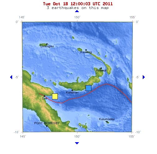
Image credit: TW
A shallow earthquake, magnitude 6.0 at a depth of 21 km (13 miles) hit region of New Britain, Papua New Guinea on October 18, 2011 at 05:05:05 UTC.
The epicenter was located 100 km (62 miles) ESE of Kimbe, New Britain, PNG, 163 km (101 miles) ENE of Kandrian, New Britain, PNG, 576 km (357 miles) NE of PORT MORESBY, Papua New Guinea (5.872°S, 151.001°E) acciording to USGS.
Epicenter was very close to the following tribal settlements: Ulutu, Kenminings, Gnalala and Matawan.
 The nearest populated places are: Auuna (19km), Mapuna (20km), Kinsena (18km), Moralona (17km), Pelin (19km), Pita (15km), Lomeletepena (18km), Matawan (9km), Welu (11km), Malmalu (16km), Ulutu (6km), Gnalala (10km), Yamalong (20km), Kenminings (2km), Peping (12km), Meingi (19km), Kanunu (6km), Punum (10km), Maihuna (16km), Haulo (9km), Raulili (13km), Leli (10km), Maso (12km), Meninga (13km), Meleton (11km), Tavalo (16km), Uvol (13km), Pulpulo (14km). The closest civilian airport is Hoskins (81km). (EarthquakeReport)
Data from other seismological agencies (an serious error margin is possible)
GFZ: M5.8 @ 78 km (automatic)
EMSC: M5.8 @ 40 km
AUSTRALIA: M 6.3 @ 0 km
Commenting rules and guidelines
We value the thoughts and opinions of our readers and welcome healthy discussions on our website. In order to maintain a respectful and positive community, we ask that all commenters follow these rules.