• Nor’easter exits after days of heavy rain and coastal flooding across U.S. Northeast

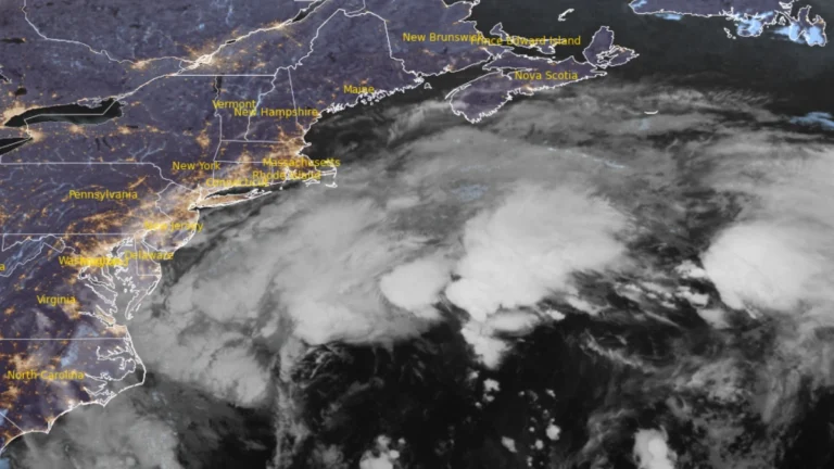
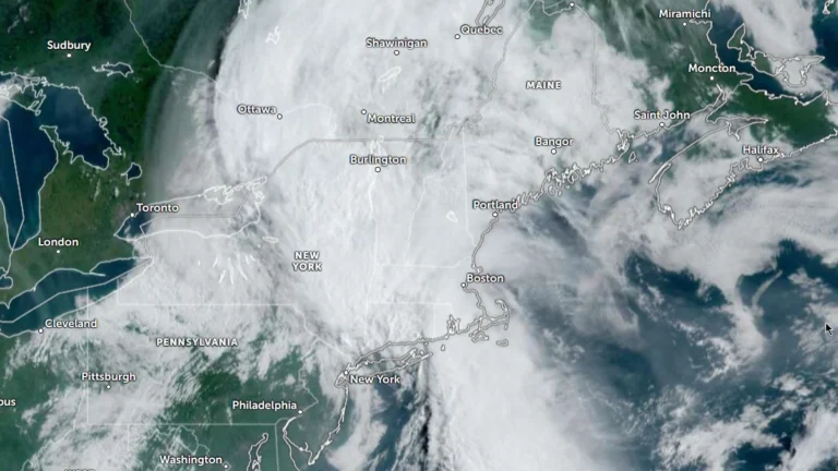
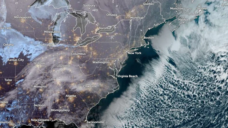
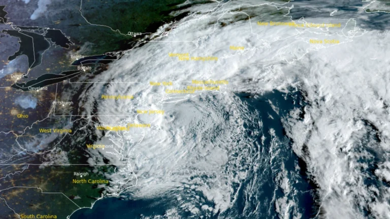
    A slow-moving nor’easter weakened off New England on September 28, 2026, after producing an NWS-listed gust of 130 km/h (81 mph) at Montauk Point, nearly 160 mm (6.3 inches) of rain in southeastern Massachusetts and measured coastal inundation above 0.8 m (2.6 feet) in New York City. PSEG Long Island recorded more than 128 000 cumulative outages across Long Island and the Rockaways, with power restored to more than 99% of affected customers by late September 28.
  • One dead, tens of thousands without power as nor’easter impacts U.S. Northeast

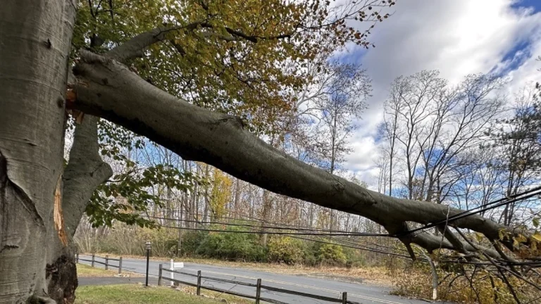
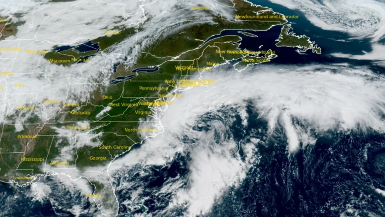
    A long-duration nor’easter continued producing coastal flooding, heavy rain and strong winds from Virginia to New England on September 27, 2026, leaving tens of thousands of utility customers without power. Coastal Flood Warnings remained in effect along parts of the U.S. East Coast, while a 56-year-old man was killed and four people were injured in separate falling-tree incidents in Brooklyn, New York, on September 26.

  • High Wind and Coastal flood alerts issued as nor’easter brings coastal flooding to Virginia

    A strengthening nor’easter was producing coastal flooding in southeastern Virginia on September 25, 2026, while high winds, heavy rain, high surf and additional tidal flooding were forecast from New York to New England through the weekend. High Wind Warnings covered coastal Massachusetts and most of Rhode Island, with gusts of 70–95 km/h (45–60 mph) expected.E

  • Long-duration nor’easter brings coastal flooding to Virginia, threatens Northeast US with damaging winds and heavy rain

    A long-duration nor’easter is forecast to bring coastal gusts of 70–95 km/h (45–60 mph) and periods of heavy rain to southern New England from September 25, 2026 through the weekend. High Wind Warnings are in effect for coastal and southeastern Massachusetts and most of Rhode Island. Coastal Flood Warnings remain in effect across southeastern Virginia, where the National Weather Service (NWS) forecasts 0.6–0.9 m (2–3 feet) of inundation.

  • Moderate Risk of excessive rainfall issued for parts of the Northeast, U.S.

    The Weather Prediction Center (WPC) has issued a Moderate Risk (Level 3 of 4) of excessive rainfall for portions of the northeastern United States on Wednesday, July 29, 2026. Repeated rounds of heavy rainfall could produce significant and potentially life-threatening flooding across parts of eastern New York, western Massachusetts, southern Vermont, and adjacent areas of Connecticut.

  • Enhanced risk of severe thunderstorms issued for parts of the Northeast, Mid-Atlantic, and Lower Great Lakes on July 18

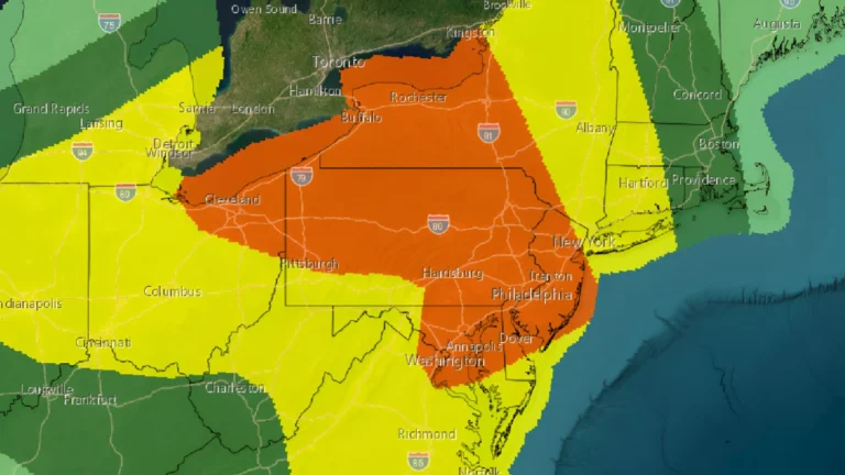
    An enhanced risk of severe thunderstorms has been issued for portions of the Northeast, Mid-Atlantic, and Lower Great Lakes on Saturday, July 18, 2026, as an unusually strong upper-level storm system brings the threat of widespread damaging winds, large hail, and several tornadoes through the afternoon and evening.

  • Nearly one million lose power as severe storms sweep Midwest, Northeast and Ontario

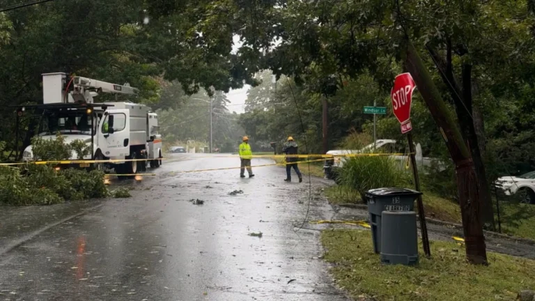
    Severe thunderstorms driven by extreme heat and abundant moisture swept across the Midwest and Northeast on Friday and Saturday, July 3 and 4, 2026 toppling trees, damaging power infrastructure and disrupting holiday travel across one of the busiest weekends of the year. Utility crews continued restoration efforts after hundreds of thousands of customers lost electricity across multiple states and parts of Ontario.

  • Another Arctic blast forecast for the weekend as life-threatening cold continues across the Eastern U.S.

    Life-threatening cold and wind chills are forecast to continue across the eastern half of the Lower 48 during the final week of January into early February. Another surge of Arctic air is forecast to spread from the Plains into the East and Southeast between Friday and Saturday, January 30–31, bringing a renewed threat of additional record low temperatures, including across parts of Florida.

  • Damaging ice forecast across parts of the South as high-impact winter storm develops

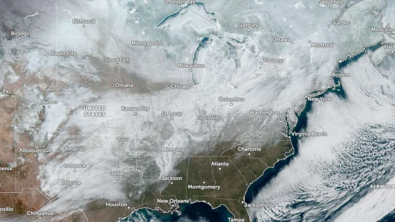
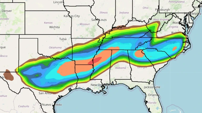
    A major long-duration winter storm is forecast to affect large portions of the central and eastern United States starting Friday, January 23, 2026, with confidence increasing in damaging ice accumulations across parts of the South. Heavy snow, sleet, and freezing rain are expected from the southern Rockies and Plains into the Mid-South, with the system spreading east into the Mid-Atlantic and New England through the weekend.