
Polar vortex forecast to bring waves of Arctic air to the Dakotas, Minnesota and the eastern U.S. this month
The polar vortex is forecast to settle near Hudson Bay, sending repeated waves of Arctic air into the central and eastern U.S. during the first half of December 2025.

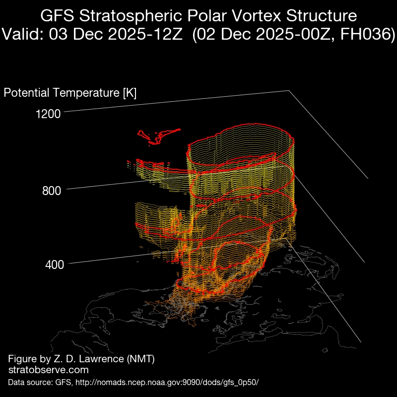
3D rendition of Polar Vortex in Northern Hemisphere on December 3, 2025. Credit: Stratobserve
A shifting polar vortex pattern is expected to draw frigid Arctic air into North America through the first half of December.
The Arctic air will spill southward in multiple waves, affecting the central and eastern United States during this period.
The polar vortex is forecast to settle near Hudson Bay, Canada, directing rounds of Arctic air southward from the North Pole into parts of the central and eastern United States through the middle of December.
“An active winter-like pattern will continue to bring the threat of winter weather to multiple areas of the country through the end of the week and into the weekend, with a focus on the Rockies/High Plains, Pacific Northwest, and the Great Lakes the next couple of days” said the Weather Prediction Center (WPC).
Sub-zero temperatures are expected across the Dakotas and Minnesota due to this set up, reported AccuWeather.
The first Arctic surge is forecast to sweep across the Great Lakes to the Northeast through late Wednesday into Thursday, December 3–4. bringing snowfall across areas along the I-95 corridor.
The Rockies and the High Plains are forecast to receive 15–30 cm (6–12 inches) of snow through Wednesday, with locally higher totals. Meanwhile, lower-elevation areas along the Colorado Front Range will receive around 8–15 cm (3–6 inches) of snow through the day.
Another arctic intrusion in the coming week is also expected to bring cold temperatures with possible record lows to much of the northern and eastern U.S. in the coming week.
According to the Climate Prediction Center (CPC), much of the Northeast and the Mid-Atlantic have a 33 to 70% chance of seeing below normal temperatures between December 10 and 16.
Following the second, a third wave of Arctic air is expected during the third week of December, however its is still too early for detailed forecasts for the cold.

I am an Assistant Editor and Severe Weather & Science Journalist at The Watchers, specializing in real-time severe weather coverage, geophysical event reporting, and research-driven scientific analysis. You can reach me at rishav(at)watchers(.)news.
Commenting rules and guidelines
We value the thoughts and opinions of our readers and welcome healthy discussions on our website. In order to maintain a respectful and positive community, we ask that all commenters follow these rules.