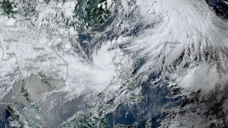
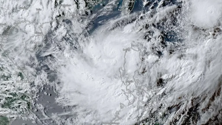
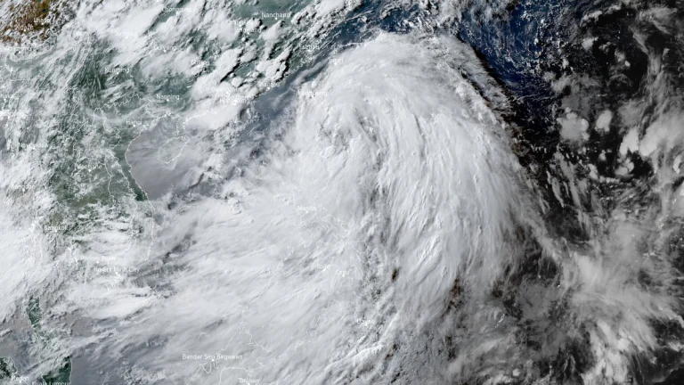
• Tropical Storm Bualoi (Opong) forecast to make landfall in Bicol on September 26

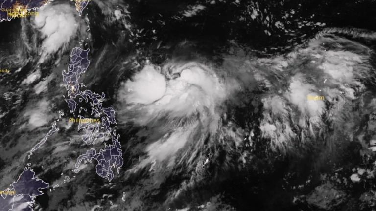
    Tropical Storm Bualoi, known in the Philippines as Opong, intensified over the Philippine Sea on September 24, 2025, moving west-northwest at 20 km/h (12 mph) with winds of 95 km/h (59 mph) and gusts up to 115 km/h (71 mph). PAGASA forecasts landfall in the Bicol Region on September 26, with warnings issued for heavy rainfall, flooding, and storm surge of up to 3 m (10 feet) along eastern coastal provinces.
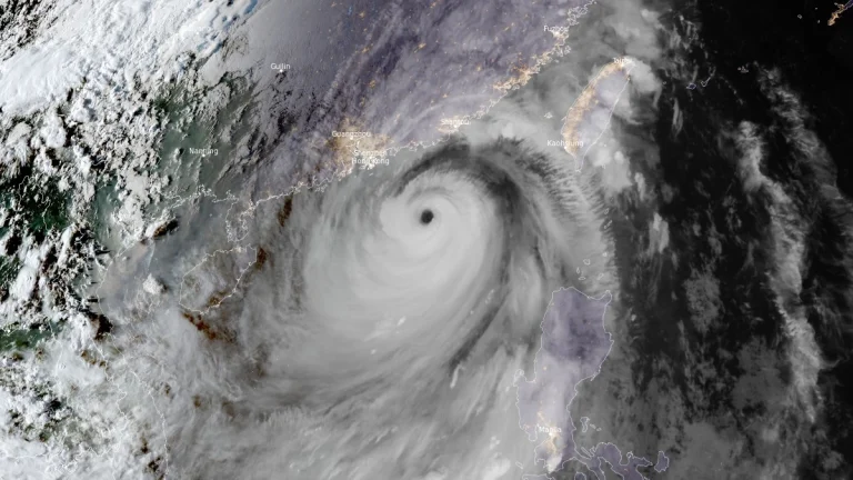
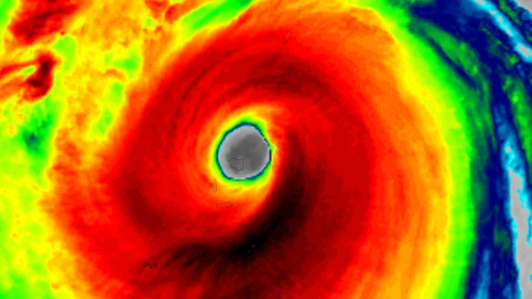
  • Typhoon Ragasa to make landfall in China’s Guangdong on September 24

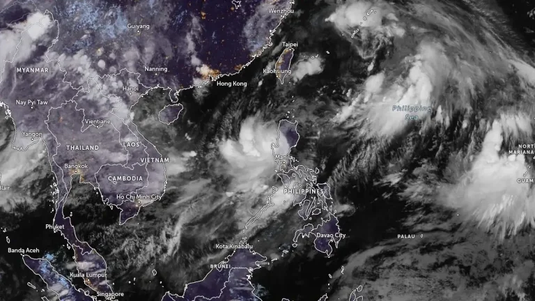
    Hong Kong has shut down, and Shenzhen is evacuating of 400 000 people as Typhoon Ragasa (known in the Phillippines as Nando) moves towards China. Its earlier landfall in northern Philippines on September 22, has already claimed at least 3 lives and displaced thousands, and now it threatens to wreak havoc in southern China. Ragasa is expected to make landfall in the coastal area between Shenzhen City and Xuwen County in Guangdong Province on September 24.

  • Eye of Super Typhoon Ragasa moves over Calayan Island, Cagayan, Philippines

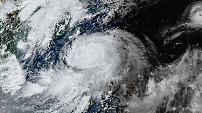
    Super Typhoon Ragasa, locally named Nando, began crossing Calayan Island in Cagayan province, northern Philippines, at around 03:00 UTC (11:00 LT) on September 22, 2025, bringing destructive winds, extreme seas, and life-threatening storm surge. The Philippine weather bureau reported maximum 10-minute sustained winds of 215 km/h (134 mph) and gusts up to 295 km/h (183 mph).

  • Super Typhoon Ragasa moving toward Philippines, China and Vietnam

    Typhoon Ragasa, known locally as Nando, intensified into a super typhoon 00:00 UTC (08:00 LT) on September 21, 2025, east of Cagayan, Philippines. By 09:00 UTC, its center was located 450 km (280 miles) east of Aparri with sustained winds of 185 km/h (115 mph) and gusts up to 230 km/h (145 mph). The system is moving west-northwest toward Batanes and the Babuyan Islands, bringing life-threatening storm surges exceeding 3 m (10 feet), destructive winds, and very rough seas.

  • Tropical Storm Nando (Ragasa) forecast to rapidly intensify east of Luzon, possible super typhoon

    PAGASA upgraded Tropical Depression Nando (internationally known as Ragasa) to a tropical storm at 23:00 LT (15:00 UTC) on September 18, 2025. The system will continue to intensify while over the Philippine Sea and may reach typhoon category by Saturday, September 20. Further intensification into super typhoon category while traversing the Extreme Northern Luzon is not ruled out.

  • Typhoon Co-may (Emong) makes landfall in Pangasinan, Philippines

    Typhoon Co-may made landfall over Agno in Pangasinan at 22:40 local time (LT) on July 24, 2025, with maximum sustained winds up to 120 km/h (75 mph) and gusts reaching 165 km/h (103 mph). It is forecast to make a second landfall over La Union or Ilocos Sur on July 25. This is the strongest storm to hit this region in 16 years.

  • Typhoon Co-may (Emong) nearing landfall over Ilocos Region, Philippines

    Typhoon Co-may, known in the Philippines as Emong, is nearing landfall over the Ilocos Region late on July 24, 2025, with maximum sustained winds up to 130 km/h (81 mph) and gusts reaching 184 km/h (114 mph). The system is forecast to weaken after landfall but bring over 200 mm (8 inches) of rainfall across Luzon and Visayas.

  • PAGASA names Tropical Storm Emong, landfall forecast over Ilocos Region within 36 hours

    Tropical Storm Emong was named by PAGASA on July 23, 2025, as the system intensified over the West Philippine Sea. Further intensification is forecast and landfall is expected over Ilocos Sur, La Union, or Pangasinan late Thursday or early Friday. Japan Meteorological Agency (JMA), authority for the basin, has not yet upgraded the system to tropical storm status.

  • Tropical Storm Wipha enhances southwest monsoon, triggers flooding across Luzon, Philippines

    Tropical Storm Wipha, known as Crising in the Philippines, enhanced the southwest monsoon over Luzon, Philippines, on July 18, 2025, bringing heavy rainfall and flooding across multiple regions. The system maintained maximum winds of 75 km/h (47 mph) and gusts up to 90 km/h (56 mph), moving west-northwest at 20 km/h (12 mph) before nearing the Babuyan Islands.