• Enhanced Risk of severe thunderstorms issued for eastern South Dakota, southwest Minnesota, and northwest Iowa

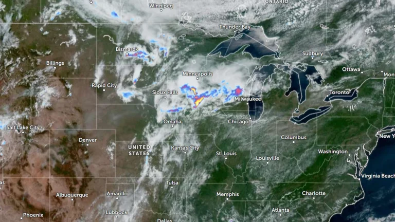
    The Storm Prediction Center (SPC) has placed parts of eastern South Dakota, southwest Minnesota and northwest Iowa under an Enhanced Risk of severe thunderstorms through Thursday, July 2, 2026. A broader Slight Risk extends from the Dakotas into the western Great Lakes and includes western Kansas, the Tennessee Valley and the southern Appalachians. Damaging wind gusts and large hail are expected to be the primary severe weather hazards across the affected regions.
  • Enhanced Risk issued for severe thunderstorms across Midwest and Upper Great Lakes

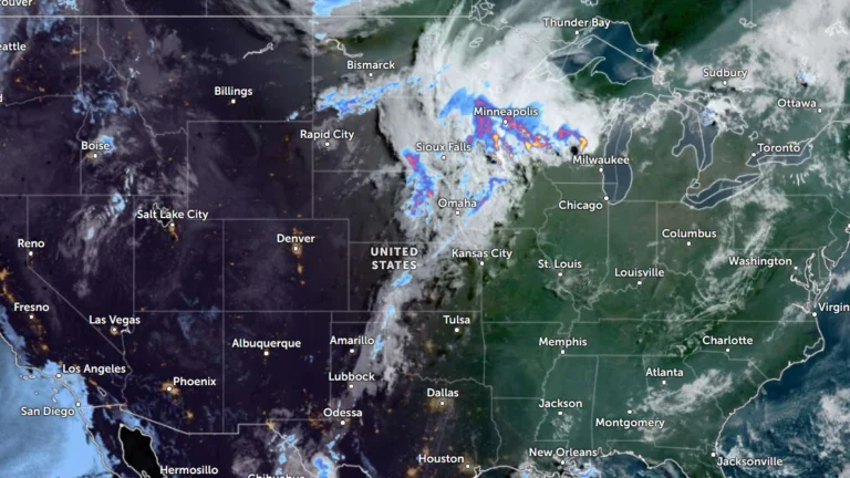
    Severe thunderstorms will affect portions of the Upper Midwest and Great Lakes through Wednesday, July 1, 2026, with damaging wind gusts of up to 130 km/h (80 mph), isolated large to very large hail and a few tornadoes possible. Parts of the region have been put under an Enhanced Risk of severe thunderstorms through Wednesday, while a Slight Risk extends across portions of the central High Plains and the Northeast.

  • Winter storm warnings in effect across Great Lakes and Northeast U.S.

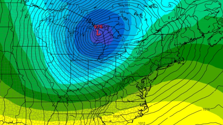
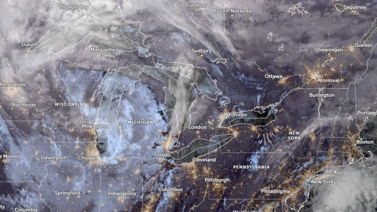
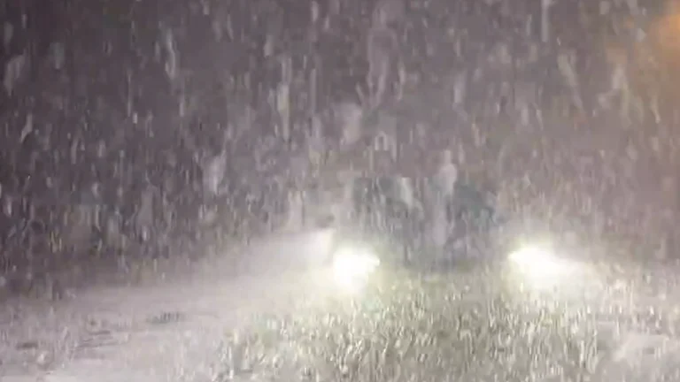
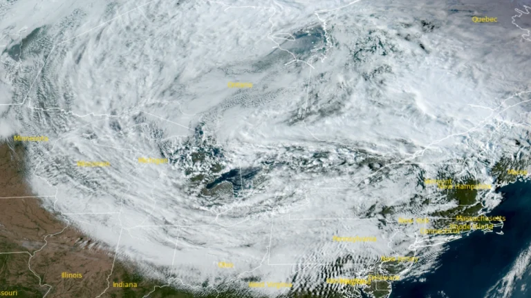
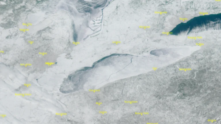
    Heavy snow and strong winds continue across the Great Lakes and Northeast U.S. on January 19, 2026, with winter storm warnings and advisories in effect across the region. Snow accumulations are forecast to reach 15–-35 cm (6–14 inches) in Michigan and up to 120 cm (4 feet) in parts of northern New York.

  • Winter Storm Ezra – Multi-hazard winter storm forecast to bring blizzard conditions and significant icing to Upper Midwest, Great Lakes and Northeast

    Winter Storm Ezra is forecast to bring severe winter weather across large parts of the United States from Sunday through Tuesday, December 28–30, 2025, as it moves from the Great Lakes into southern Canada. Heavy snow, blizzard conditions, and hazardous icing are forecast across the Upper Midwest, Great Lakes, and interior Northeast. Snowfall totals of over 30 cm (1 foot) are expected in parts of Michigan’s Upper Peninsula, while ice accumulations of up to 13 mm (0.5 inches) are forecast across interior New England through Tuesday.

  • Lake-effect snow warnings issued across Ohio, Pennsylvania, and New York

    Heavy lake-effect snow is forecast across the eastern Great Lakes region from early Thursday, November 27, through Saturday, November 29, 2025. The National Weather Service (NWS) has issued Lake Effect Snow Warnings for areas in Ohio, Pennsylvania, and New York, with totals reaching up to 50 cm (20 inches) in the most persistent snow bands.

  • Lake-effect snow and dangerous travel conditions forecast for the Upper Midwest and Great Lakes

    A strengthening storm is forecast to move from the northern Plains into the Upper Great Lakes Tuesday through Thursday, November 25–27, 2025, producing lake-effect snow and strong winds across portions of the Upper Midwest and Great Lakes. The severe winter weather will create hazardous travel conditions across northern Minnesota, northern Wisconsin, and Michigan’s Upper Peninsula, with lake-effect snow continuing into Thanksgiving Day.