
Lake-effect snow and dangerous travel conditions forecast for the Upper Midwest and Great Lakes
A strengthening storm is forecast to move from the northern Plains into the Upper Great Lakes Tuesday through Thursday, November 25–27, 2025, producing lake-effect snow and strong winds across portions of the Upper Midwest and Great Lakes. The severe winter weather will create hazardous travel conditions across northern Minnesota, northern Wisconsin, and Michigan’s Upper Peninsula, with lake-effect snow continuing into Thanksgiving Day.

Image credit: Landon Moeller
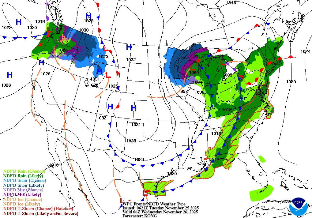
A strengthening low-pressure system is forecast to move from the northern Plains into the Upper Great Lakes from Tuesday to Thursday, producing lake-effect snow, strong winds, and degraded travel conditions across portions of the Upper Midwest and Great Lakes.
The system is forecast to deepen as it crosses Minnesota and Wisconsin on Wednesday, November 26, with the main overlap of heavy snow and strong winds focused from northern Minnesota and northern Wisconsin into Michigan’s Upper Peninsula through Wednesday night.
Forecast guidance indicates widespread moderate totals across the impact zone, with persistent lake-enhanced bands producing considerably higher local amounts along shore and upslope areas of Lake Superior.
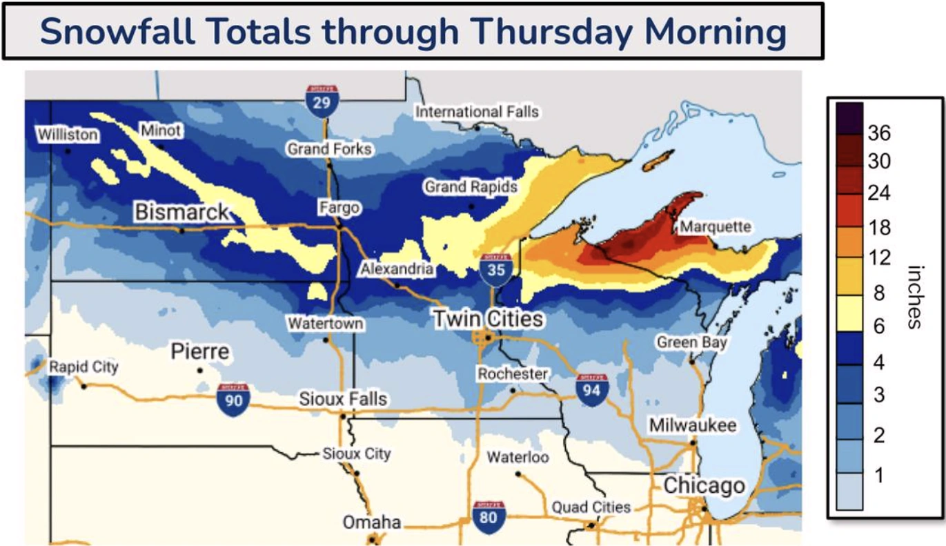
Forecast storm-total snow ranges of roughly 10–35 cm (4–14 inches) across much of the west and central Upper Peninsula, while localized lake-effect snow totals reaching 90 cm (3 feet) are forecast in areas including Keweenaw Peninsula and Gogebic Range. Intense snowfall rates of 2–8 cm (1–3 inches) per hour are possible in areas with the heaviest bands.
Strong winds of 65–95 km/h (40–60 mph) are expected, with gale watches being issued for parts of Lake Superior. The strong winds, combined with heavy snow, will produce blowing snow and near-zero visibility in open and coastal areas, creating dangerous travel conditions.
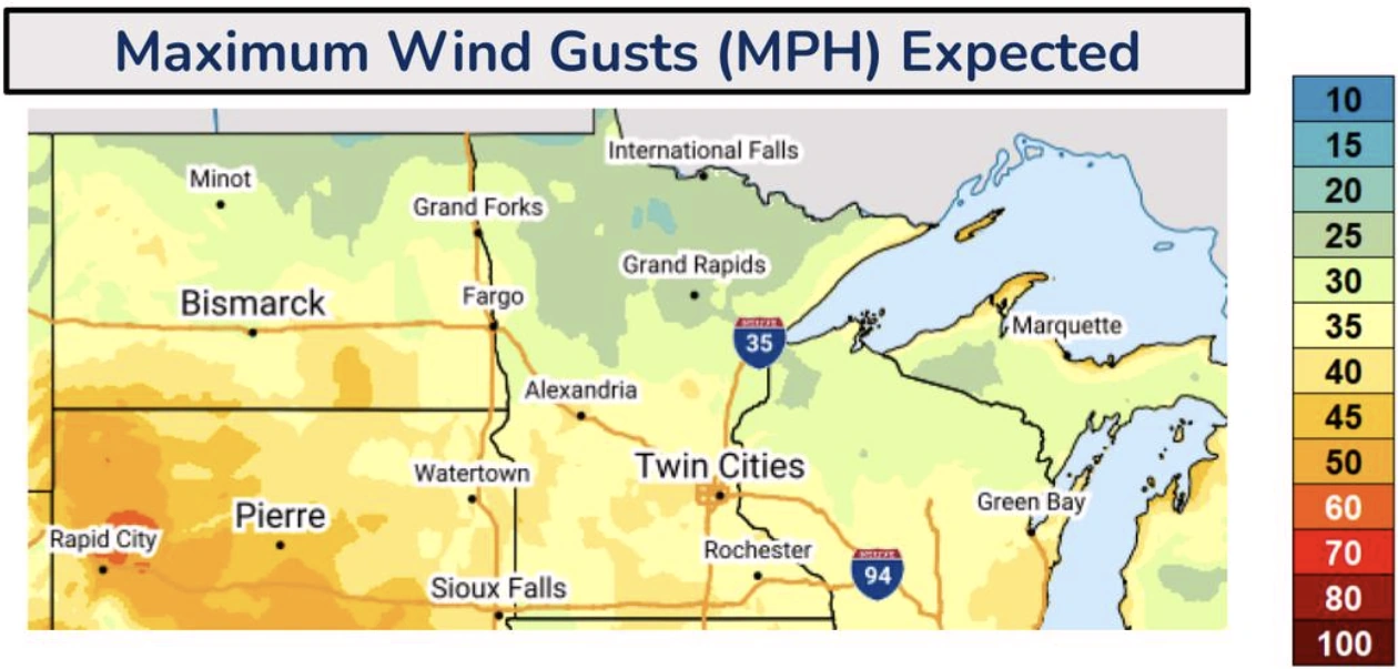
Key routes, including U.S. Highways 2 and 41 in the Upper Peninsula, U.S. 53 in northern Wisconsin, and sections of Interstate 35 in northeastern Minnesota–are likely to experience hazardous conditions from accumulating and blowing snow from Tuesday night into Wednesday.
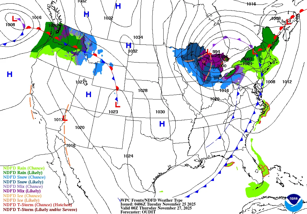
As the storm moves eastward, mixed precipitation and rain will extend into the Great Lakes and Northeast on Thanksgiving Day. Separate frontal activity is forecast to bring wet and unsettled conditions to the Pacific Northwest later in the week, with significant rain at low elevations and mountain snow across the Cascades and northern Rockies.
References:
1 Short Range Forecast Discussion – NWS – November 25, 2025

I am an Assistant Editor and Severe Weather & Science Journalist at The Watchers, specializing in real-time severe weather coverage, geophysical event reporting, and research-driven scientific analysis. You can reach me at rishav(at)watchers(.)news.
Commenting rules and guidelines
We value the thoughts and opinions of our readers and welcome healthy discussions on our website. In order to maintain a respectful and positive community, we ask that all commenters follow these rules.