
Lake-effect snow warnings issued across Ohio, Pennsylvania, and New York
Heavy lake-effect snow is forecast across the eastern Great Lakes region from early Thursday, November 27, through Saturday, November 29, 2025. The National Weather Service (NWS) has issued Lake Effect Snow Warnings for areas in Ohio, Pennsylvania, and New York, with totals reaching up to 50 cm (20 inches) in the most persistent snow bands.
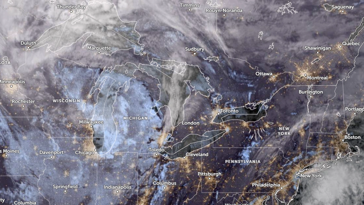
Satellite image of the Great Lakes Region on at 12:50 UTC on November 26, 2025. Credit: NOAA/GOES-East, RAMMB/CIRA, The Watchers
The NWS has issued multiple Lake Effect Snow Warnings across the eastern Great Lakes region. Warnings are in effect from 01:00 EST Thursday and will remain in effect through Friday and Saturday across parts of the region.
Heavy snow is expected across Jefferson, Lewis, Chautauqua, Cattaraugus, Wyoming, and southern Erie Counties in western and northern New York with totals of 25–50 cm (10 to 20 inches). The warning will remain in effect from 01:00 EST Thursday to 01:00 EST Saturday.
Winds will gust up to 80 km/h (50 mph), causing drifting snow, near-zero visibility, and dangerous travel conditions.
In Oswego County, snowfall totals of 15–30 cm (6 to 12 inches) are forecast from 16:00 EST Thursday to 07:00 EST Saturday, with wind gusts near 70 km/h (45 mph).
Meanwhile, in northern New York and Adirondacks, Southeastern St. Lawrence County is forecast to receive 10–25 cm (4–10 inches), while Hamilton and northern Herkimer Counties could see 15–30 cm (6–12 inches) under narrow lake effect bands. Winds may gust between 55–65 km/h (35–40 mph), further reducing visibility. Lake effect snow warnings will be in effect through Friday evening or early Saturday morning.
In northwestern Ohio, warnings are in effect for Cuyahoga, Lake, Geauga, and Ashtabula Counties, including the Cleveland metro area and the eastern suburbs.
Forecast snow totals range from 10–33 cm (4–13 inches), with the highest accumulations forecast in northern Geauga County and Lake County south of I-90. Wind gusts may reach 80 km/h (50 mph), producing blowing and drifting snow. The warning will be in effect from 01:00 EST Thursday to 19:00 EST Friday.
Snowfall totals of 20 to 51 cm (8 to 20 inches), with rates of 2.5–5 cm (1–2 inches) per hour at times, are forecast for Erie, Crawford, and southern Erie Counties in northwestern Pennsylvania.
The warning is active from 01:00 EST Thursday to 01:00 EST Saturday, and conditions will worsen inland from Lake Erie as snow bands intensify through Thursday. Farther east, Warren and McKean Counties are forecast to receive 15–30 cm (6 to 12 inches), with gusts up to 64 km/h (40 mph) creating reduced visibility and snow-covered roads.
References:
1 Lake effect snow warnings – NWS – November 26, 2025

I am an Assistant Editor and Severe Weather & Science Journalist at The Watchers, specializing in real-time severe weather coverage, geophysical event reporting, and research-driven scientific analysis. You can reach me at rishav(at)watchers(.)news.
Commenting rules and guidelines
We value the thoughts and opinions of our readers and welcome healthy discussions on our website. In order to maintain a respectful and positive community, we ask that all commenters follow these rules.