• Tropical Storm Hagupit moves through Yap State, expected to enter PAR as Caloy

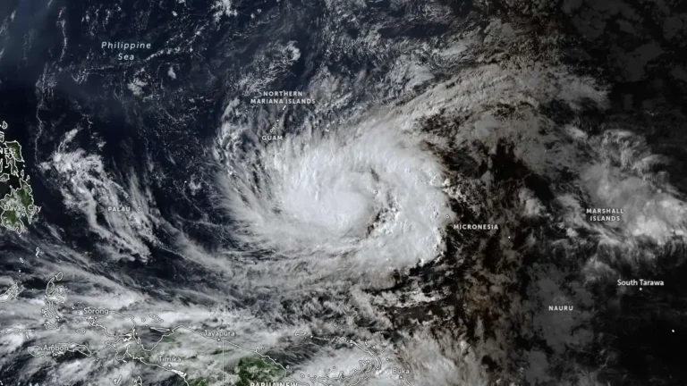
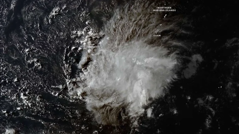
    Tropical Storm Hagupit was moving west through Yap State at 22:00 ChST (12:00 UTC) on May 8, 2026, with maximum sustained winds of 70 km/h (45 mph). Tropical Storm Warnings remained in effect for Ulithi, Ngulu, Fais, Yap Proper, and adjacent coastal waters. PAGASA expects the system to enter the Philippine Area of Responsibility on May 9 and be named Caloy.
  • Remote Papua New Guinea landslide kills 10 after days of heavy rain and flooding brought by Cyclone Maila

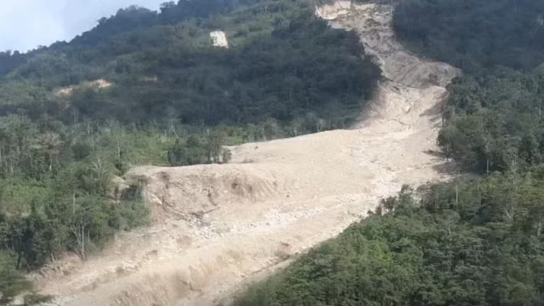
    A landslide in the remote Lamarain area of Gazelle District, East New Britain Province, Papua New Guinea, killed 10 people after prolonged heavy rain linked to Tropical Cyclone Maila. Local community accounts said the victims had been sheltering in makeshift garden houses after flooding cut off access between their village and gardens.

  • Super Typhoon Sinlaku cripples power, roads and key infrastructure on Saipan and Tinian

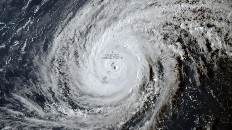
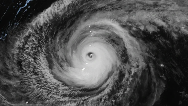
    Super Typhoon Sinlaku struck the Northern Mariana Islands late on April 14, 2026, bringing sustained winds near 241 km/h (150 mph) at peak impact and unusually slow movement that kept destructive conditions over populated islands for hours. The islands of Saipan and Tinian sustained widespread infrastructure damage, prolonged utility outages, blocked roads, and flooding, with officials warning that full restoration in some hard-hit areas could take days to weeks.

  • Super Typhoon Sinlaku nears Saipan and Tinian with destructive winds, flooding and dangerous surf

    Super Typhoon Sinlaku approached Saipan and Tinian on April 14, 2026, with destructive typhoon-force winds, life-threatening coastal flooding and torrential rain expected through Wednesday. The National Weather Service said the storm’s center was just southeast of the islands Tuesday afternoon local time, with the eyewall nearing both islands and dangerous conditions already affecting parts of the Marianas.

  • Tropical Cyclone Maila triggers deadly landslides and severe flooding in Bougainville and eastern Papua New Guinea

    Tropical Cyclone Maila left at least 11 people dead in Bougainville and eastern Papua New Guinea by April 13, 2026, after days of heavy rain, landslides, flooding, and coastal impacts. Eight people were killed when a landslide buried a house in Asiko Village in Central Bougainville, the deadliest single incident reported during the storm.

  • Cyclone Vaianu brings destructive winds, heavy rain and widespread disruption to New Zealand’s North Island

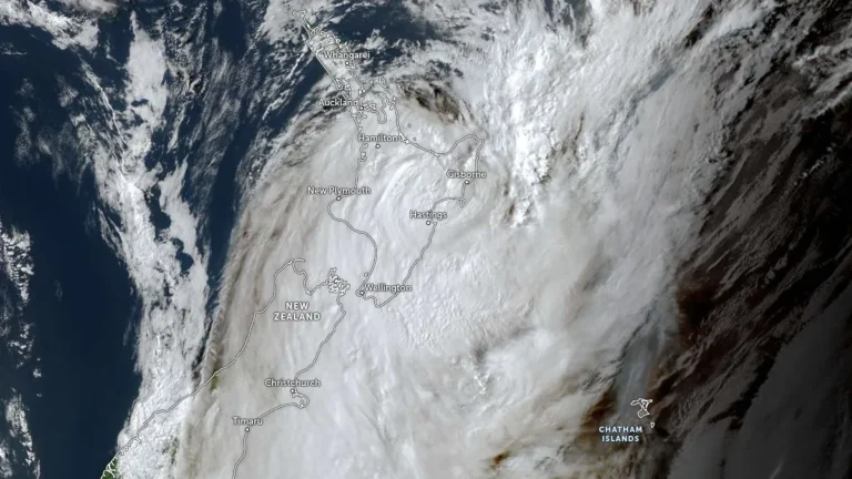
    Cyclone Vaianu crossed New Zealand’s North Island on Sunday, April 12, 2026, bringing damaging winds, torrential rain, and large swells that caused flooding, evacuations, power outages, and transport disruption across several districts. The storm made landfall near the Māketū Peninsula in Bay of Plenty shortly after 14:00 LT on Sunday before tracking southeast and moving offshore later that evening. Cleanup continued on Monday as authorities assessed slips, flood damage and coastal impacts.

  • Typhoon Sinlaku forecast to reach super typhoon strength before nearing the Marianas, Typhoon Warnings issued for Rota, Tinian and Saipan

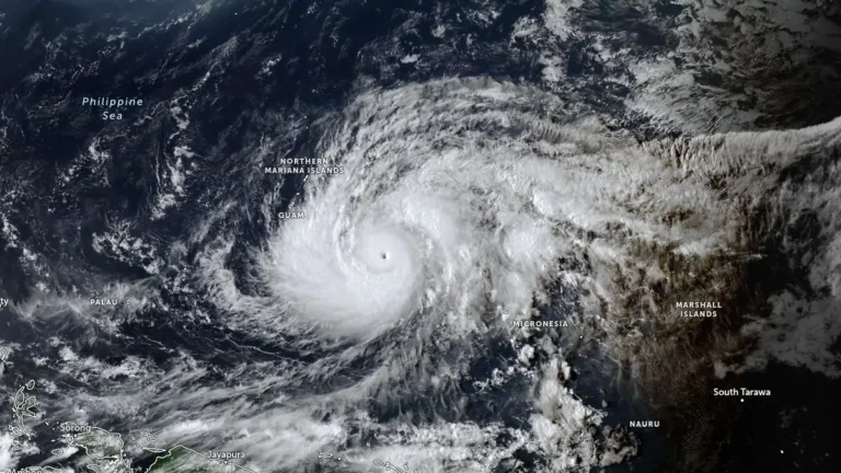
    Typhoon Sinlaku intensified into a dangerous major typhoon over the western Pacific on April 12, 2026, as officials issued typhoon warnings for Rota, Tinian and Saipan, and a tropical storm warning for Guam. The storm was forecast to strengthen further on April 13, reaching super typhoon strength, before nearing the Marianas, where destructive winds, coastal inundation, and flash flooding are possible from late April 13 into April 14.

  • Red wind warning and widespread severe weather alerts issued as Cyclone Vaianu approaches North Island, New Zealand

    Cyclone Vaianu is forecast to move south across New Zealand’s North Island on Sunday, April 12, 2026, bringing a multi-hazard threat, including damaging winds up to 140 km/h (87 mph), heavy rainfall, and coastal inundation risk. A Red Strong Wind Warning is in force for the Coromandel Peninsula and Great Barrier Island, with widespread Orange warnings and watches covering much of the North Island and upper South Island. Significant disruption to transport, power supply, and communities is expected.

  • Tropical Storm Sinlaku strengthens, rapid intensification forecast as it tracks toward Guam

    Tropical Storm Sinlaku formed on April 9, 2026, in the western Pacific and strengthened to 102 km/h (63 mph) by 15:00 UTC on April 10, approximately 904 km (562 miles) southeast of Andersen Air Force Base, Guam. The system is becoming more organized and is forecast to undergo rapid intensification while tracking toward the Mariana Islands, with a potentially dangerous passage near or over Guam.

  • Tropical Cyclone Vaianu expected to bring damaging winds and heavy rain to New Zealand this weekend

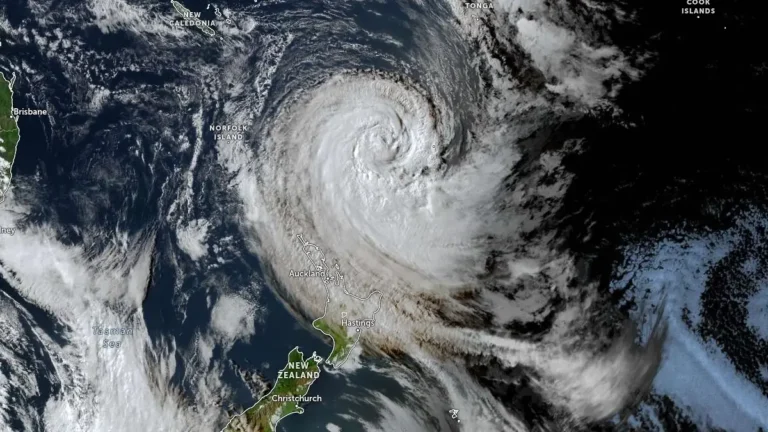
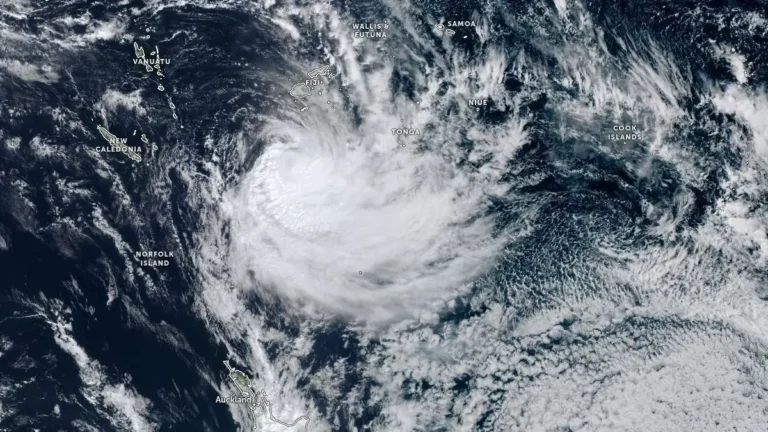
    Severe Tropical Cyclone Vaianu was located south of Fiji on April 8, 2026, producing localized flooding while weakening under strong wind shear. The system is forecast to transition into an extra-tropical system before moving toward New Zealand, where damaging winds, heavy rain, and hazardous coastal conditions are expected during the weekend of April 11-12.