
Strong earthquake sequence strikes off northern Vanuatu after initial M6.9 event
An M6.9 earthquake struck off northern Vanuatu at 13:31 LT (02:31 UTC) on October 24, 2026, followed four minutes and 29 seconds later by an M6.3 event and at least eight additional M5+ earthquakes in the USGS through 05:23 UTC. The Pacific Tsunami Warning Center said the tsunami threat had passed at 03:28 UTC. No immediate damage or casualties were reported.
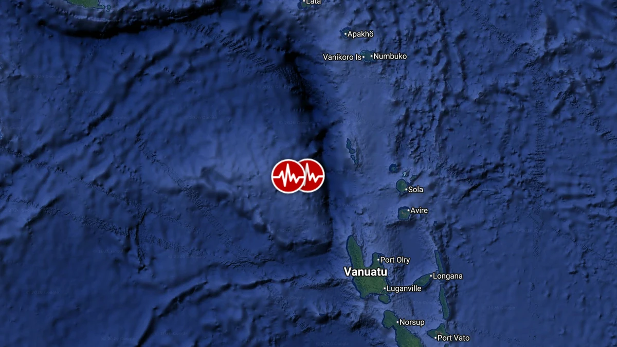
Epicenters of M6.9 and M6.3 earthquakes in Vanuatu on October 24, 2026. Credit: TW/SAM, Google
The US Geological Survey (USGS) registered the first earthquake as M6.9 at a depth of 10 km (6 miles), approximately 197 km (122 miles) west-northwest of Port-Olry. Its preliminary PAGER assessment was Green, indicating a low likelihood of significant casualties or economic losses.
The European-Mediterranean Seismological Center (EMSC) located the epicenter at 14.056°S, 165.524°E, approximately 200 km (124 miles) west-northwest of Port-Olry and 507 km (315 miles) northwest of Port Vila, at a depth of 8 km (5 miles).
The second earthquake struck at 13:35 LT (02:35 UTC), four minutes and 29 seconds after the first event. EMSC and USGS list it as M6.3 at a depth of 10 km (6 miles), with the USGS epicenter approximately 170 km (106 miles) northwest of Port-Olry.
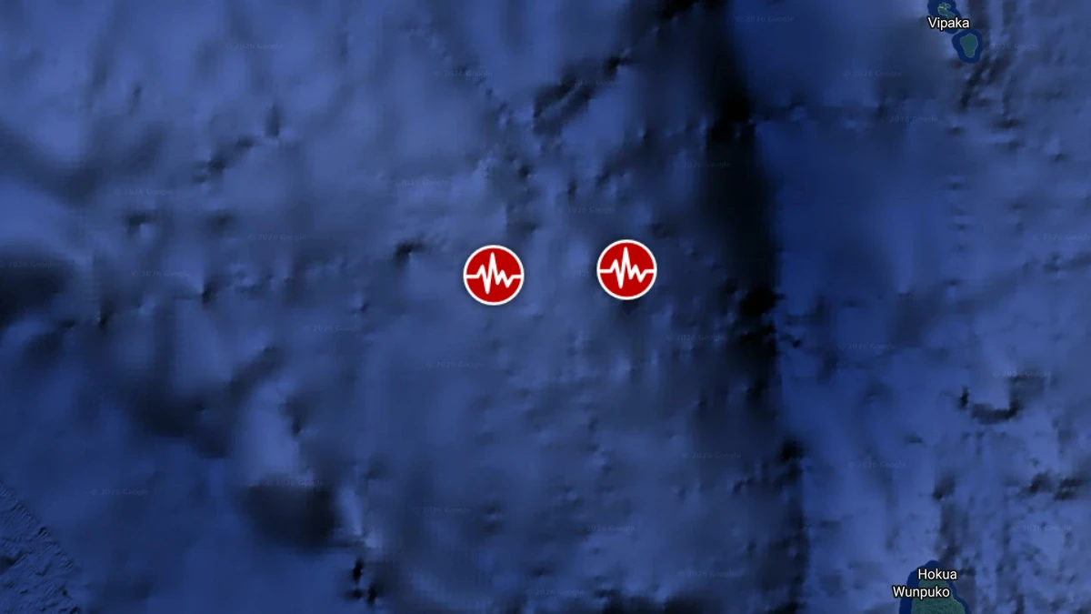
The Vanuatu Meteorology and Geo-Hazards Department (VMGD) lists the first earthquake as M6.9 at a depth of 20 km (12 miles) and the second as M6.5 at 23.7 km (14.7 miles). Its catalog also includes an M5.8 earthquake at 02:53 UTC at a depth of 55 km (34 miles).
The USGS recorded a continuing sequence of strong earthquakes after the two initial events. These included M5.1 at 03:08 UTC, M5.2 at 03:17 UTC, M5.7 at 04:05 UTC, M5.8 at 04:12 UTC, M5.3 at 04:19 UTC, M5.0 at 04:44 UTC, M5.1 at 04:49 UTC, and M5.8 at 05:23 UTC.
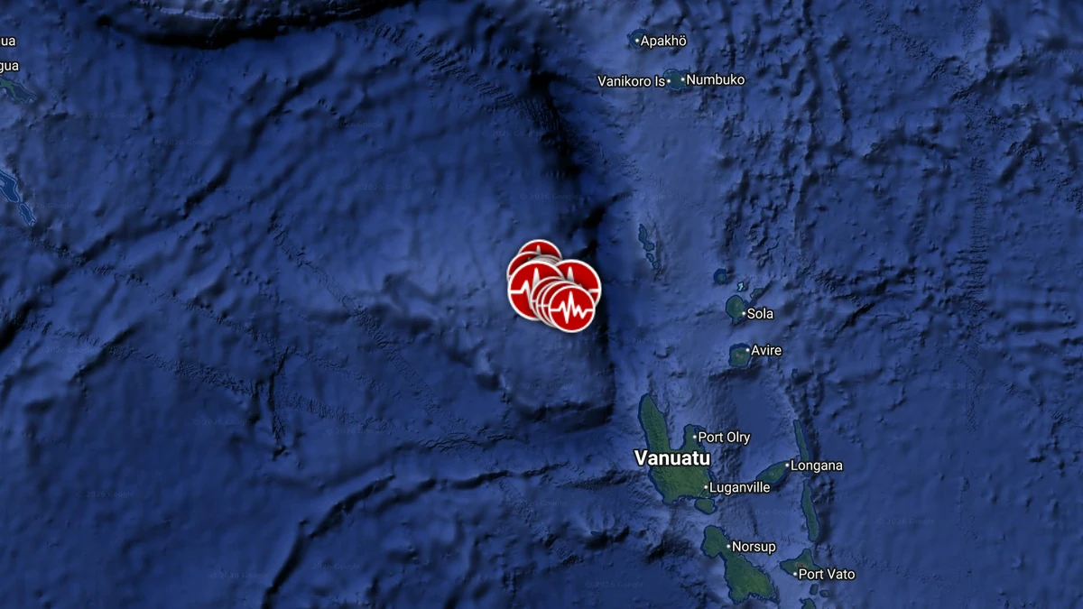
Including the M6.9 and M6.3 earthquakes, the USGS listed at least 10 events of M5.0 or greater between 02:31 and 05:23 UTC.
PTWC issued its first regional tsunami threat message at 02:38 UTC using a preliminary magnitude of M7.2. The center said hazardous tsunami waves were possible along Vanuatu’s coasts within 300 km (186 miles) of the epicenter.
PTWC listed Espiritu Santo among its forecast locations, with an estimated initial wave arrival at 03:01 UTC. This was a modeled arrival time, not an observation of a tsunami wave.
At 03:28 UTC, PTWC issued its second and final regional message, revised the magnitude to M6.9, and said the tsunami threat had passed. Minor sea-level fluctuations remained possible, and the center advised normal caution near the sea.
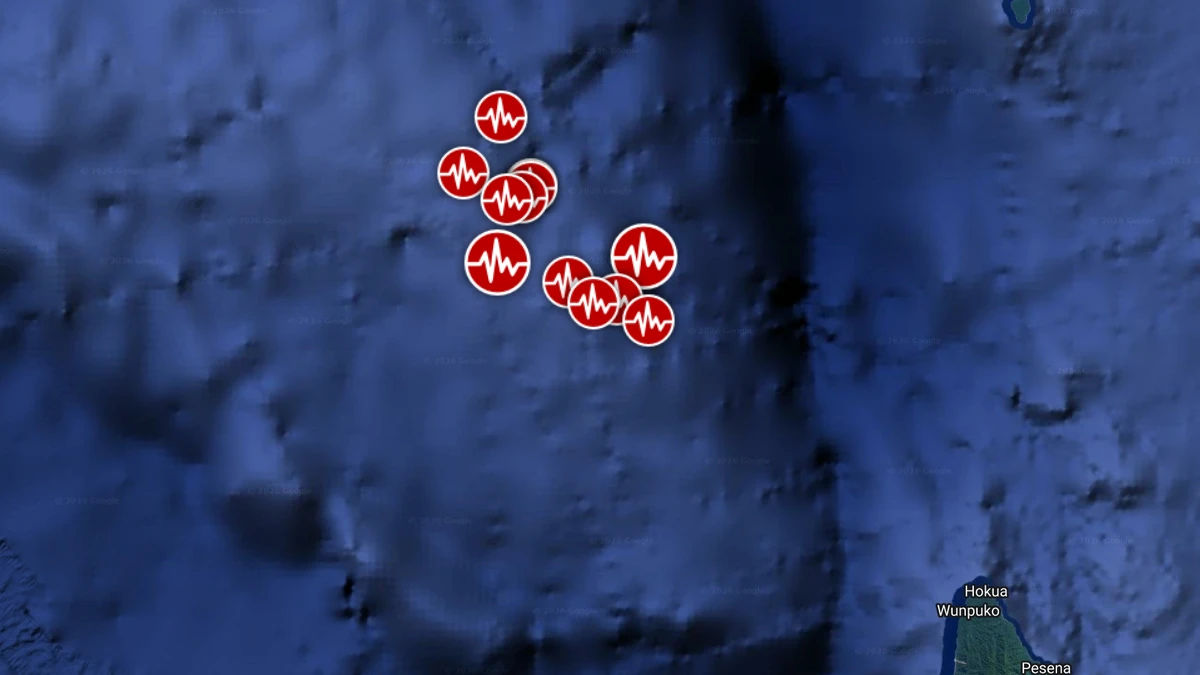
GDACS assigned Green alerts to the M6.9 and M6.3 earthquakes, indicating low expected humanitarian impact in its rapid assessments. It estimated approximately 40 000 people were exposed to Modified Mercalli Intensity IV shaking from the first event and about 4 000 from the second.
Vanuatu lies along an active convergent plate boundary in the southwest Pacific, where subduction generates frequent earthquakes. The October 24 sequence was concentrated offshore northwest of the country’s northern islands.
References:
1 M6.9 earthquake west-northwest of Port-Olry – USGS – October 24, 2026
2 M6.3 earthquake northwest of Port-Olry – USGS – October 24, 2026
3 Vanuatu regional earthquake catalog – VMGD – accessed October 24, 2026
4 Final Regional Tsunami Threat Message Number 2 – PTWC – October 24, 2026

Rishav Kothari is Editor-in-Chief of The Watchers, where he runs the newsroom and covers earthquakes, volcanoes, severe weather and space weather.
Published in the last 24 hours
- Second nationwide US flight halt since 9/11: how the November 13 FAA ground stop compares with September 2001 and January 2023 Epicenter
- FAA grounds all departing flights across the US after communications outage hits air traffic control centers nationwide
- In September 1859, a solar storm lit up the night sky so brightly that gold miners in the Rocky Mountains woke up after midnight and started cooking breakfast, convinced the aurora glowing over their camp was the sunrise Epicenter
- A patch of warm Pacific water that could become the strongest El Niño in more than 70 years sits thousands of miles from any American town, yet it is already the main reason NOAA expects a wetter winter across the South and a milder one across the North
