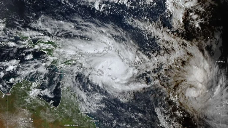
• Severe Tropical Cyclone Maila tracks toward Papua New Guinea and Queensland, Australia

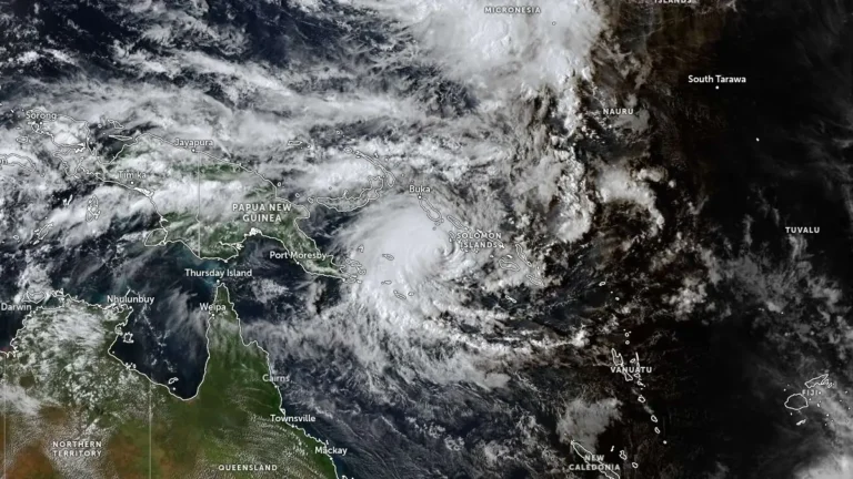
    Severe Tropical Cyclone Maila remained over the Solomon Sea at 06:00 UTC on April 8, 2026, with sustained winds of 165 km/h (103 mph) and a central pressure of 941 hPa, while beginning a gradual weakening trend after recent rapid intensification. The system is moving slowly northward at 6 km/h (3.7 mph) and is forecast to track west to southwest toward southeastern Papua New Guinea before entering the Coral Sea later this week.
  • Severe Tropical Cyclone Vaianu affecting Fiji with heavy rain and flooding, forecast to move toward New Zealand

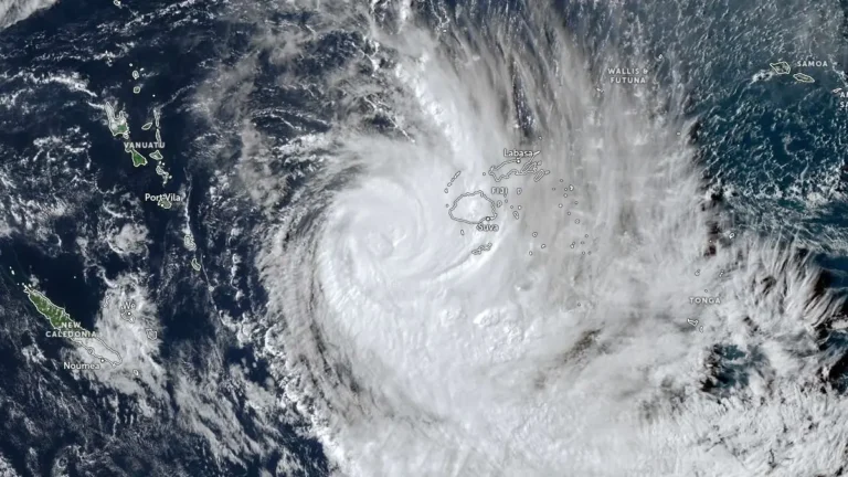
    Tropical Cyclone Vaianu reached Category 3 intensity near Fiji on April 7, 2026, generating heavy rainfall exceeding 140 mm (5.5 inches), flooding in low-lying areas, and strong winds. Authorities have issued multiple warnings across Fiji, including for flooding and dangerous marine conditions. The system is tracking southeast toward New Zealand, where severe weather impacts are forecast later this week.

  • Rapidly intensifying Tropical Cyclone Maila stalls in the Solomon Sea

    A rapidly intensifying Tropical Cyclone Maila remained nearly stationary in the Solomon Sea on April 5, 2026, as competing atmospheric ridges limited its movement. Forecasts indicate continued strengthening in the short term, followed by potential weakening due to ocean cooling. The system may move closer to the north Queensland coast later in the week.

  • Tropical Cyclone Narelle crosses Gascoyne coast with destructive winds and flooding, Western Australia

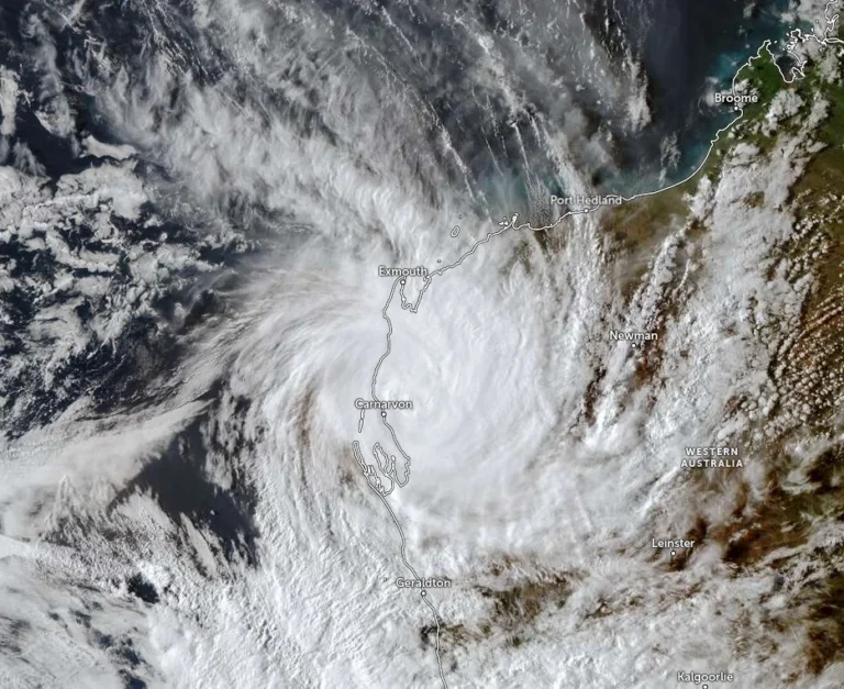
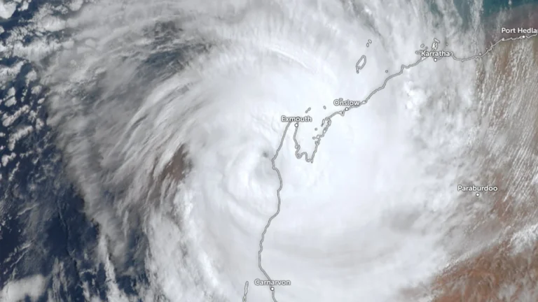
    Severe Tropical Cyclone Narelle made landfall just south of Coral Bay, Western Australia, at approximately 09:30 AWST (01:30 UTC) on March 27, 2026, as a Category 3 system. It brought wind gusts up to 195 km/h (121 mph), intense rainfall, and a dangerous storm tide along the Gascoyne coast. Severe weather conditions are continuing inland through the day and are forecast to persist into March 28.

  • Severe Tropical Cyclone Narelle to pass close to the North West Cape, bringing destructive winds to Western Australia

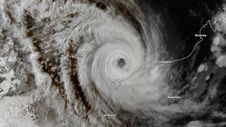
    Severe Tropical Cyclone Narelle strengthened to Category 4 off the coast of Western Australia on March 26, 2026, and was forecast to pass close to the North West Cape before tracking south along the Gascoyne coast on March 27. The Bureau of Meteorology warned the system could bring very destructive wind gusts up to 275 km/h (171 mph), dangerous storm surge, and heavy rainfall capable of producing flash flooding across parts of the Pilbara and Gascoyne.

  • Tropical Cyclone Narelle strengthens off Western Australia, Category 4 intensity forecast near the coast

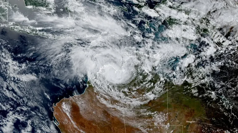
    Severe Tropical Cyclone Narelle re-intensified, reaching Category 3 strength off the coast of Western Australia on March 25, 2026, and is forecast to strengthen further while tracking parallel to the Pilbara coast. The system reached Category 3 intensity with sustained winds of 130 km/h (81 mph), with forecasts indicating strengthening to Category 4 as it approaches the North West Cape late March 26.

  • Heavy rainfall and flooding impact Northern Territory as ex-Tropical Cyclone Narelle moves west

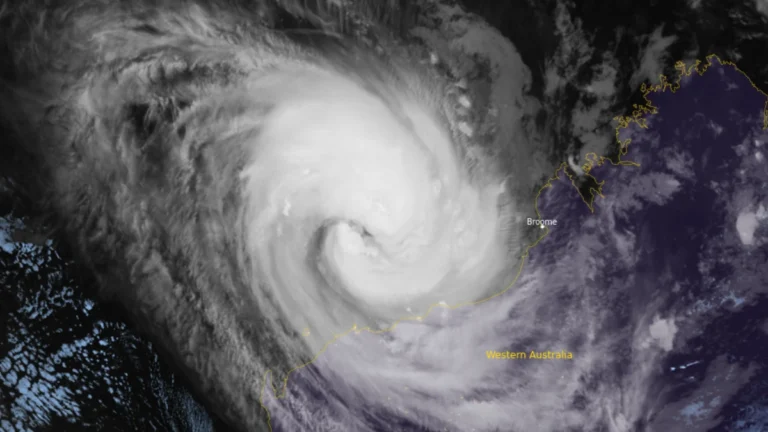
    Heavy rainfall from ex-Tropical Cyclone Narelle triggered flooding across parts of the Northern Territory, Australia, between March 21 and 23, 2026, inundating properties, disrupting infrastructure, and prompting evacuations. As of March 23, the system was moving west across the Kimberley and had a high chance of redeveloping into a tropical cyclone over waters off Western Australia by March 25, with further strengthening forecast. Severe weather was expected to continue across northern Kimberley through March 24.

  • Tropical Cyclone Narelle weakens after Queensland landfall, forecast to re-intensify over Gulf of Carpentaria

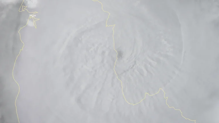
    Tropical Cyclone Narelle made landfall over the Queensland coast at 07:00 AEST on March 20 (21:00 UTC on March 19), as a high-end Category 4 system after briefly reaching Category 5 intensity a day earlier. The cyclone crossed the coast approximately 75 km (47 miles) south of Lockhart River, weakened to Category 2 by the afternoon, and began moving offshore toward the Gulf of Carpentaria. Destructive winds, heavy rainfall, and coastal flooding were reported across affected areas.