
Tornado Watch issued for parts of Iowa, Illinois, Minnesota, Missouri and Wisconsin
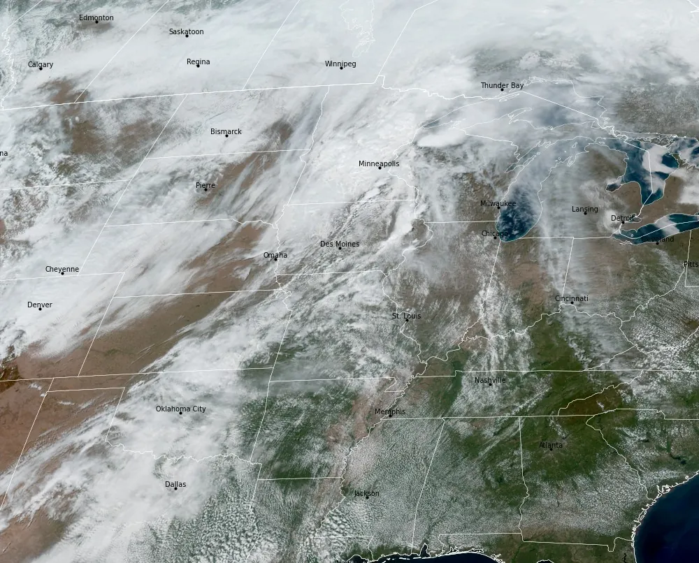
The Storm Prediction Center issued a Tornado Watch for a multi-state region of the Upper Midwest at 17:40 UTC (12:40 CDT) on April 17, 2026, citing a highly unstable environment ahead of an advancing cold front. Severe storms are expected to develop through the afternoon and evening, with tornadoes, large hail, and strong wind gusts as primary hazards.

Tornado Watch #129 valid from 12:40 CDT to 20:00 CDT on April 17, 2026. Credit: NWS/SPC
The Storm Prediction Center (SPC) issued Tornado Watch 129 at 17:40 UTC (12:40 CDT) on April 17, for portions of central and eastern Iowa, northern and west-central Illinois, southeast Minnesota, far northeast Missouri, and central and southern Wisconsin. The watch remains in effect until 01:00 UTC on April 18 (20:00 CDT on April 17), covering a broad corridor across the Upper Midwest.
The conditions are favorable for the development of tornadoes and severe thunderstorms, with a few tornadoes likely and the potential for a couple of intense tornadoes. In addition to the tornado threat, widespread large hail is expected, with diameters reaching up to 9 cm (3.5 inches), along with scattered damaging wind gusts up to 113 km/h (70 mph).
Meteorological analysis from the SPC indicates a very moist and unstable air mass in place ahead of a cold front advancing eastward and southeastward across the region. This environment supports the development of thunderstorms within the warm sector, where discrete supercells are expected to form.
Supercells developing ahead of the front will be capable of producing all severe hazards, including very large hail and strong to intense tornadoes. Additional thunderstorm development is expected along the frontal boundary itself, where the primary hazards shift toward large hail and strong wind gusts.
The tornado watch area extends approximately 177 km (110 miles) north and south of a line from about 89 km (55 miles) north-northwest of Des Moines, Iowa, to 89 km (55 miles) east of Madison, Wisconsin.
A Tornado Watch indicates that atmospheric conditions are favorable for tornadoes and severe thunderstorms to develop in and near the watch area. It does not mean that tornadoes are occurring, but that warnings may be issued if storms begin to produce tornadoes.
Aviation conditions within the watch area include the potential for severe turbulence, large hail, and wind gusts up to approximately 111 km/h (69 mph). Thunderstorm tops may reach around 15 200 m (50 000 feet).
Earlier analysis of today’s setup described a multi-phase severe weather event across the central United States, with an Enhanced Risk extending from northern Oklahoma through the Midwest into Wisconsin.
Forecasts indicated that storms would likely begin as discrete supercells capable of producing strong tornadoes and large hail before evolving into organized convective systems with a growing risk of widespread damaging winds later in the day.
References:
1 Tornado Watch #129 – NWS/SPC – Issued at 17:40 UTC on April 17, 2026
I'm a dedicated researcher, journalist, and editor at The Watchers. With over 20 years of experience in the media industry, I specialize in hard science news, focusing on extreme weather, seismic and volcanic activity, space weather, and astronomy, including near-Earth objects and planetary defense strategies. You can reach me at teo /at/ watchers.news.
Commenting rules and guidelines
We value the thoughts and opinions of our readers and welcome healthy discussions on our website. In order to maintain a respectful and positive community, we ask that all commenters follow these rules.