
Bomb cyclone forecast to bring strong winds and heavy rains to Newfoundland, Canada
A developing bomb cyclone over the northwest Atlantic is expected to reach Newfoundland on Tuesday, November 4, 2025, with wind gusts exceeding 100 km/h (62 mph) and waves reaching up to 6 m (20 feet).
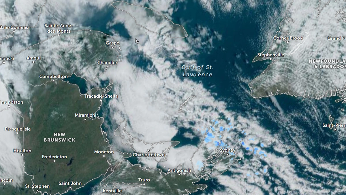
Satellite image of Atlantic Canada at 19:50 UTC on November 3, 2025. Credit NOAA/GOES-19, Zoo Earth, The Watchers
A rapidly deepening low-pressure system is forecast to bring severe weather across Newfoundland and parts of Atlantic Canada on Tuesday, November 4.
The system is expected to undergo explosive cyclogenesis—commonly known as a “bomb cyclone”—as it tracks northeastward across the western North Atlantic.
Model guidance indicates a rapidly intensifying low as strong upper-level forcing combines with the sharp thermal gradient between cold Arctic air and warm Gulf Stream waters near 20°C (68°F).
The system is forecast to undergo bombogenesis, which occurs when a mid-latitude cyclone’s central pressure decreases by at least 24 mbar within 24 hours. While some models show a very deep low, exact central pressure values remain uncertain.
According to Environment and Climate Change Canada (ECCC) and The Weather Network, the storm is expected to pass near or just south of Newfoundland on Tuesday, bringing widespread high winds and heavy rainfall to coastal areas.
Wind gusts are expected to reach 90–100 km/h (56–62 mph) across much of eastern Newfoundland and may locally exceed 110 km/h (68 mph) along exposed coasts, particularly the Avalon Peninsula and areas around St. John’s.
Rainfall totals of 50–75 mm (2–3 inches) are expected in Cape Breton and along the Burgeo coast, with widespread amounts of 30–50 mm (1–2 inches) across the Avalon Peninsula.
“At this time, the heaviest rainfall amounts are expected along the south coast from Burgeo to the Burin Peninsula. However, there is still some uncertainty surrounding the track of this system. A slight shift in track could influence the location of the highest rainfall amounts,” said ECCC on November 3.
Average wave heights are expected to reach 3–5 m (10–16 feet), with breaking waves reaching 4–6 m (13.1–20 feet) in some coastal sectors. Offshore and exposed locations could experience locally higher waves. Coastal erosion, overwash, and localized flooding during high tide cycles are possible along the island’s Atlantic-facing shores.
The system is expected to weaken as it tracks northeastward into the Labrador Sea late Tuesday into Wednesday. However, strong pressure gradients may sustain gusty winds and rough marine conditions through mid-week.

I am an Assistant Editor and Severe Weather & Science Journalist at The Watchers, specializing in real-time severe weather coverage, geophysical event reporting, and research-driven scientific analysis. You can reach me at rishav(at)watchers(.)news.
Commenting rules and guidelines
We value the thoughts and opinions of our readers and welcome healthy discussions on our website. In order to maintain a respectful and positive community, we ask that all commenters follow these rules.