
Heavy rains trigger flash floods on Elba Island, Italy
A severe storm delivered 65 mm (2.56 inches) of rain in under one hour on Elba Island, Italy, on August 20, 2025, triggering flash floods in Portoferraio, where streets were submerged and transport was disrupted, while drainage systems overflowed across the island.
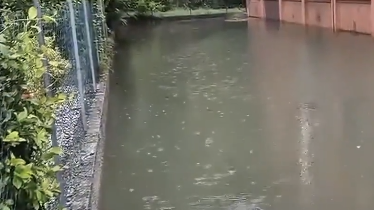
Flooding in Italy on August 21, 2025. Credit: Vigili del Fuoco
Around 65 mm (2.56 inches) of rainfall was recorded in under one hour on Elba Island, Italy, on August 20, triggering flash floods that inundated streets and disrupted transportation in the town of Portoferraio.
The intense convective system responsible for the downpour formed rapidly, leading to overflowing drainage systems and road closures across the island.
Multiple reports called it record-breaking rainfall event. However, no rainfall records were broken during this event. While the hourly total was high, it remained below Italy’s historical record thresholds, which exceed 700 mm (28 inches) in 12 hours in some regions. Informal social media reports citing higher totals were not confirmed by meteorological agencies.
Intenso nucleo temporalesco attivo tra l’isola d’Elba e la costa livornese con migliaia di fulminazioni registrate in questa area solo nell’ultima ora. Video dal Presidente della Regione Toscana, Eugenio Giani. pic.twitter.com/lhlkEgvtpW
— Italia– Notizie dall'Italia (@Italia24HLive) August 20, 2025
In Sicily, a separate flash flooding event occurred on August 19 in Enna province, resulting in one fatality. The Italian Civil Protection Department and regional authorities placed several regions under alert as multiple convective cells developed across central and northern Italy.
Allagamenti ieri sera a Lido di Savio (RA) dopo il violento temporale che ha colpito la zona. Video di Alessandra Caratù.
— Italia 24H Live – Notizie dall'Italia (@Italia24HLive) August 21, 2025
Allagamenti segnalati anche a Cervia e Cesenatico. Nel secondo video, di Fabio Geloneve per "Emilia Romagna Meteo", la situazione a Cervia (RA). pic.twitter.com/B8DUI1salt
Orange alerts were issued for Veneto, Lombardy, Emilia‑Romagna, Liguria, and Tuscany, with yellow alerts for adjacent areas. In Tuscany’s Grosseto province, emergency services rescued three individuals trapped in a flooded underpass. Public buildings and parks were temporarily closed in Milan due to water accumulation and safety risks.
According to the Italian Air Force Meteorological Service (Aeronautica Militare), atmospheric instability was driven by moist air interacting with residual frontal systems over the Tyrrhenian and Ligurian seas. A return to more stable conditions is forecast over the next 24–48 hours.
AVISO #Maltempo en el norte de Italia
— Geól. Sergio Almazán (@chematierra) August 21, 2025
En Véneto lluvia récord, en Maestre apagones, inundaciones y trenes detenidos entre Padua y Venecia
Imágenes en Mestre y Marghera, municipio de Venecia
Vía @WeatherMonitors pic.twitter.com/DmJGKs3viW

I am an Assistant Editor and Severe Weather & Science Journalist at The Watchers, specializing in real-time severe weather coverage, geophysical event reporting, and research-driven scientific analysis. You can reach me at rishav(at)watchers(.)news.
“Able was I ere I saw Elba.” — Napoleon Palindromapart