
Severe thunderstorms and excessive rainfall forecast across the central Plains, Midwest, and Southeast, U.S.
Severe thunderstorms with large hail and damaging winds are forecast to impact parts of the central and southern Plains, U.S., this morning, August 11, 2025, as an upper-level disturbance from the central Rockies interacts with a slow-moving frontal boundary.

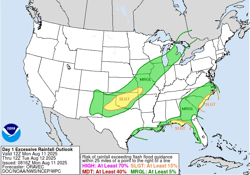
Satellite image and rainfall radar acquired at 10:10 UTC on August 11, 2025. Credit: NOAA/GOES-East, Zoom Earth, The Watchers
A slow-moving, nearly stationary frontal boundary from the Upper Midwest to the southern Plains will remain the focus for organized convection and heavy rainfall on Monday, August 11.
The National Weather Service (NWS) Weather Prediction Center (WPC) warns that the highest severe weather risk this morning is across the central Plains, where an upper-level impulse from the central Rockies is forecast to interact with the boundary.
The upper-level disturbance will lift northeast toward the Midwest, shifting the severe threat eastward into the Ohio Valley by Tuesday. By Tuesday night and early Wednesday, thunderstorms are expected to reach the lower Great Lakes.
The WPC notes that rainfall rates may locally exceed 25 mm (1 inch) per hour where storms train, posing a risk of flash flooding, particularly in areas already saturated from recent heavy rain.
Scattered thunderstorms will also extend southwest into the Ohio and Tennessee Valleys and merge with convection over the Deep South. A weakening frontal boundary along the U.S. Southeast coast will initially enhance rainfall near the Carolinas, with locally heavy totals possible before the system diminishes in strength.
By Tuesday, a cold front advancing into the Great Lakes is forecast to generate additional storms from the central/southern Appalachians to the interior Mid-Atlantic.
Ahead of the front, heat and humidity will persist, contrasting with cooler post-frontal air from the northern Rockies into the northern and central High Plains.
Heat will gradually expand eastward, with high temperatures reaching 30–35°C (86–95°F) in parts of the Ohio Valley, Mid-Atlantic, and Northeast. The WPC highlights pockets of Major HeatRisk in its forecast.
Across the Intermountain West, temperatures will rise further, with numerous Heat Advisories and Excessive Heat Warnings already in effect. Cooler air from Canada is forecast to reach the northern Plains by August 13.
References:
1 Short Range Public Discussion – NWS WPC – August 11, 2025

I’m a science journalist and researcher at The Watchers, contributing to the Epicenter edition, where I cover peer-reviewed scientific research and emerging discoveries across Earth and space sciences. With a background in astronomy and a passion for environmental science, I’ve worked in shark and coral conservation in Fiji, conducting reef and shark-behavior research, contributing to mangrove restoration, and earning PADI Open Water and Coral Reef Certifications. I bring a blend of scientific rigor and storytelling to illuminate the discoveries shaping our planet and beyond.
Commenting rules and guidelines
We value the thoughts and opinions of our readers and welcome healthy discussions on our website. In order to maintain a respectful and positive community, we ask that all commenters follow these rules.