
Severe thunderstorms drop month’s worth of rain in 1 hour over Aisne, causing floods and hail damage across France
Severe storms dropped 70–80 mm (2.8–3.1 inches) of rain in just 1 hour over Bohain-en-Vermandois, Aisne, France on July 23, 2025, causing severe local flooding and damage. Widespread thunderstorms with heavy rainfall and hail continued into July 24, affecting parts of northern and central France, including Île-de-France, Loiret, Nièvre, and Yonne.
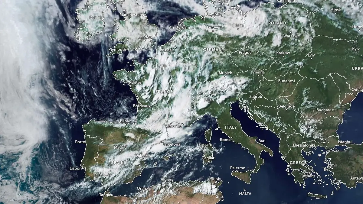
Image credit: EUMETSAT/Meteosat, Zoom Earth, The Watchers. Acquired at 15:45 UTC on July 23, 2025
A series of violent thunderstorms brought heavy rainfall accompanied by hail to northern and central France on Wednesday, July 23 and continued into July 24.
The most intense rainfall occurred in Bohain-en-Vermandois, Aisne, where a stationary storm dumped between 70–80 mm (2.8–3.1 inches) of rain in approximately one hour, equivalent to a full month’s worth of rain in the area.
According to local authorities, floodwaters rapidly inundated streets, submerging vehicles and damaging infrastructure. Emergency services deployed 36 firefighters and 11 rescue vehicles.
One person was evacuated from their home, while ten others were relocated from a sports hall to a nearby gymnasium. Two commercial properties reported minor material damage.
Météo-France maintained an orange-level vigilance for rain–flood risk in 14 departments on July 23 and 24, including Aisne, Seine-et-Marne, Essonne, and the inner Paris region. The alert remained active until 20:00 LT for several areas. Forecasts indicated rainfall totals of 40–60 mm (1.6–2.4 inches), with local accumulations reaching up to 80 mm (3.1 inches).
As the system progressed southward and eastward, heavy rainfall moved into the Loiret and Île-de-France regions early on July 24. Water accumulations were reported in Laon and along the A6 motorway near Villabé in Essonne, where visibility and traffic were affected.
Simultaneously, the storm system triggered hail-producing supercells across the Cher, Nièvre, and Yonne departments.
In Menetou-Râtel (Cher), hail was reported in the late afternoon of July 23 while a severe hailstorm struck Cosne-Cours-sur-Loire (Nièvre) in the evening, forcing vehicles to stop and covering the streets with hailstones measuring 2–3 cm (0.8–1.2 inches) in diameter.
Further north in the Yonne department, particularly in Escolives-Sainte-Camille and Coulanges-la-Vineuse, hailstones of 3–4 cm (1.2–1.6 inches) in diameter were observed, causing localized disruptions and surface damage. In Saint-Maurice-près-Pionsat, intense thunderstorms with heavy rain and hail persisted through the evening.
References:
1 Appel “à la plus grande vigilance”: placé en vigilance orange, l’Aisne est touché par des inondations – BFMTV – July 23, 2025

I’m a science journalist and researcher at The Watchers, contributing to the Epicenter edition, where I cover peer-reviewed scientific research and emerging discoveries across Earth and space sciences. With a background in astronomy and a passion for environmental science, I’ve worked in shark and coral conservation in Fiji, conducting reef and shark-behavior research, contributing to mangrove restoration, and earning PADI Open Water and Coral Reef Certifications. I bring a blend of scientific rigor and storytelling to illuminate the discoveries shaping our planet and beyond.
Commenting rules and guidelines
We value the thoughts and opinions of our readers and welcome healthy discussions on our website. In order to maintain a respectful and positive community, we ask that all commenters follow these rules.