
Tropical Depression “Al-Sayyal” brings 2 years worth of rain to Oman in 24 hours
Tropical Depression “Al-Sayyal” brought 215 mm (8.46 inches) of rain to the city of Sur in Oman’s Ash Sharqiyah South Governorate within just 24 hours on October 15 and 16, 2024. This amount exceeds what the city typically receives over two years.
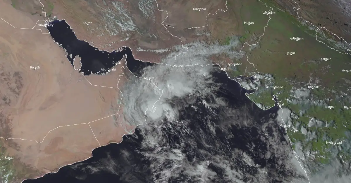
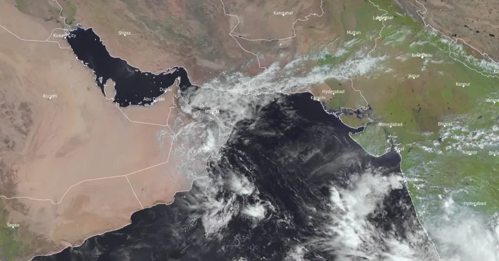
Satellite image of Tropical Depression "Al-Sayyal" at 10:45 UTC on October 16, 2024. Image credit: EUMETSAT/Meteosat-9, RAMMB/CIRA, The Watchers
Heavy rains triggered by the stalled Tropical Depression “Al-Sayyal” led to severe floods in parts of Oman on Tuesday and Wednesday, October 15 and 16.
A total of 215 mm (8.46 inches) of rainfall was recorded in the city of Sur over 24 hours from October 15 to 16 — more than what the city typically receives over the period of two years.
The average annual rainfall in Sur is approximately 100 mm (3.9 inches). The city experiences a very arid climate, with most of the rainfall occurring during the winter months, but overall, rain is infrequent and light.
During the same period, Qurayat registered 170 mm (6.69 inches), Jaalan Bani Bu Ali 117 mm (4.61 inches), Muscat 112 mm (4.41 inches), and Masirah 96 mm (3.78 inches), according to the Ministry of Agriculture, Fisheries and Water Resources.
The worst affected were Ash Sharqiyah South, Ash Sharqiyah North, and Muscat.
The rescue teams of the Civil Defence and Ambulance Authority responded to 23 cases since the beginning of the weather conditions in the governorates of Ash Sharqiyah South and Muscat.
Muscat, Ash Sharqiyah South, and Ash Sharqiyah South suspended work and classes and transitioned to remote work and learning until weather conditions improve.
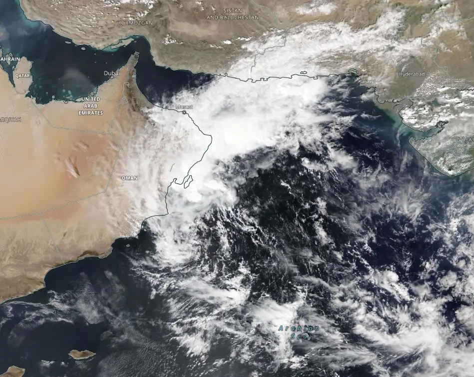
Thunderstorms and rain were forecast to continue through Wednesday, October 16, in North Al Batinah, Muscat, South Al Batinah, South Al Sharqiyah, Al Wusta, and Al Dakhiliyah, in addition to Al Dhahirah and Al Buraimi. The effects of the low-pressure system are expected to recede starting Thursday, October 17.
Some areas will continue to see rainfall as clouds form, but the effects of Tropical Depression “Al-Sayyal” are expected to fully recede from Oman by Saturday, October 19.
Tropical cyclones impact Oman during two periods of the year — the pre-monsoon period from May to June and the post-monsoon from October to November. The cyclones primarily form in the Arabian Sea, with occasional landfall in Oman, particularly affecting the coastal areas, such as the Dhofar and Al Wusta regions.
The country’s cyclone season coincides with the broader cyclone season in the North Indian Ocean.
References:
1 Al-Sayal depression continues to affect the Sultanate, and heavy rains are expected to continue in these areas today – ArabiaWeather – October 16, 2024
2 The amount of rain that falls on Jeddah in 5 years fell on the Omani state of Sur in one day – ArabiaWeather – October 16, 2024
3 Sayyali weakens, rain likely today – Oman Observer – October 16, 2024

I am an Assistant Editor and Severe Weather & Science Journalist at The Watchers, specializing in real-time severe weather coverage, geophysical event reporting, and research-driven scientific analysis. You can reach me at rishav(at)watchers(.)news.
Commenting rules and guidelines
We value the thoughts and opinions of our readers and welcome healthy discussions on our website. In order to maintain a respectful and positive community, we ask that all commenters follow these rules.