
Discrete eruption at Mount Agung, ash to 4.6 km (15 000 feet) a.s.l., Indonesia

Featured image: Eruption of Mount Agung at 22:39 UTC on April 29, 2019. Credit: MAGMA Indonesia
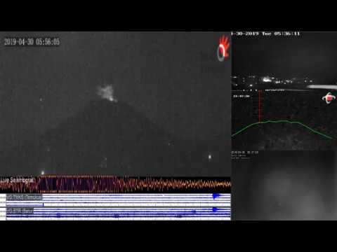
A discrete eruption took place at Mount Agung, Indonesia at 22:34 UTC on April 29, 2019 (05:34 LT on April 30).
The eruption lasted 2 minutes and 15 seconds, with a maximum amplitude of 25 mm.
According to Darwin VAAC, the eruption sent volcanic ash up to 4.6 km (15 000 feet) above sea level, drifting east.


While ashfall was reported in the surrounding villages, Bali airport is functioning normally.
The Alert Level remains at 3 (on a scale of 1 – 4) with the exclusion zone set at a 4-km (2.5 miles) radius.
Two explosive eruptions were recorded on April 21. The first was recorded at 03:21 LT and produced a dense gray ash plume that rose 2 km (1.2 miles) above the crater rim and drifted W and S. Ashfall was reported in areas downwind including Besakih (7 km / 4.3 miles SW), Rendang (12 km / 7.4 miles NW), Klungkung (~40 km / 25 miles S), Gianyar (20 km /12.4 miles WSW), Bangli (17 km / 10.5 WNW), Tabanan (51 km / 31 miles WSW), and the International Gusti Ngurah Rai (IGNR) airport (60 km / 37 miles SW) in Denpasar.
The second event was recorded at 18:56 LT and generated a dense ash plume that rose 3 km (1.8 miles) and drifted S. Minor ashfall was reported in Besakih, Rendang, Sebudi (6 km / 3.7 miles SW), and Selat (12 km / 7.4 miles SSW).
The eruptions were accompanied by a boom heard at both the Rendang and Batulompeh observation posts.
Ejected incandescent material from the two events fell on the flanks in all directions within a radius of 4 km (2.5 miles).

Teo Blašković founded The Watchers in 2011 and edited it until 2026, covering seismic and volcanic activity, extreme weather, space weather and near-Earth objects. Articles on this page are his archive.
