
Major storm produces thundersnow over Sioux Falls, South Dakota
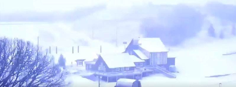
Image credit: TW
Major storm affecting much of the United States since Wednesday, April 10, 2019, produced a relatively rare weather phenomenon over central South Dakota known as thundersnow.
"It's essentially a thunderstorm, but it's cold enough for snow," said Mike Connely, a weather service meteorologist in Aberdeen, South Dakota
NEW VIDEO!!!!
Crazy thunder snow currently over Sioux, Falls. Check this out!#SDwx pic.twitter.com/dn9qujghRf— WeatherNation (@WeatherNation) April 11, 2019
You've heard of thundersnow…how about thunder SLEET?! Check out the lightning flashing behind a layer of ice Thursday morning in Marshall, MN #mnwx pic.twitter.com/xiUanOSMS1
— WeatherNation (@WeatherNation) April 11, 2019
Snow produced by the storm was falling at a rate of up to 5 cm (2 inches) per hour in northeastern South Dakota and southwestern Minnesota on Wednesday.
South Dakota Governor Kristi Noem closed state government offices in 52 counties. Numerous schools around the state closed, along with several Black Hills National Forest offices in western South Dakota and eastern Wyoming.
NWS posted an ice storm warning into Friday morning, April 12 for a portion of southern Minnesota, saying up to three-fourths of an inch (19 mm) of ice could accumulate on power lines, leading to power outages.
Read more: Major storm system producing widespread hazardous weather across much of the Central U.S.
I'm a dedicated researcher, journalist, and editor at The Watchers. With over 20 years of experience in the media industry, I specialize in hard science news, focusing on extreme weather, seismic and volcanic activity, space weather, and astronomy, including near-Earth objects and planetary defense strategies. You can reach me at teo /at/ watchers.news.
Commenting rules and guidelines
We value the thoughts and opinions of our readers and welcome healthy discussions on our website. In order to maintain a respectful and positive community, we ask that all commenters follow these rules.