
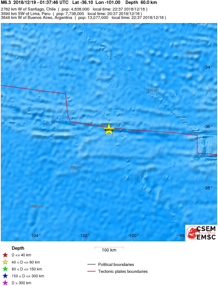
Strong and shallow M6.3 earthquake southeast of Easter Island

Image credit: USGS
A strong and shallow earthquake registered by the USGS as M6.3 hit southeast of Easter Island at 01:37 UTC on December 19, 2018. The agency is reporting a depth of 10 km (6.2 miles). EMSC is reporting M6.3 at a depth of 60 km (37 miles).
The epicenter was located 2 782 km (1 728 miles) W of Santiago, Chile and 3 590 km (2 230 miles) SW of Lima, Peru.
There are no people living within 100 km (62 miles).
The USGS issued a green alert for shaking-related fatalities and economic losses. There is a low likelihood of casualties and damage.
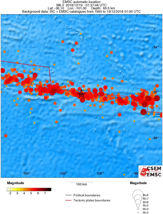
Regional seismicity
I'm a dedicated researcher, journalist, and editor at The Watchers. With over 20 years of experience in the media industry, I specialize in hard science news, focusing on extreme weather, seismic and volcanic activity, space weather, and astronomy, including near-Earth objects and planetary defense strategies. You can reach me at teo /at/ watchers.news.
Commenting rules and guidelines
We value the thoughts and opinions of our readers and welcome healthy discussions on our website. In order to maintain a respectful and positive community, we ask that all commenters follow these rules.