
Magnitude 6.3 earthquake struck south of Kermadec Islands
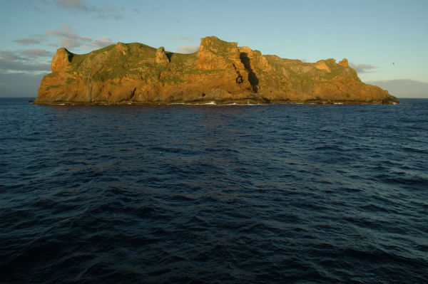
Image credit: TW
Magnitude 6.3 earthquake struck south of the Kermadec Islands today at 10:10:08 UTC with epicenter located 130 km (80 miles) South of L’Esperance Rock, 386 km (239 miles) SouthWest of Raoul Island and 734 km (456 miles) NorthEast of Auckland, New Zealand (32.604°S, 179.103°W) at depth of 34.1 km (21.2 miles) according to USGS. EMSC recorded magnitude 6.0 at depth of 39 km (24.2 miles).
 The only people residing on one of these volcanic rocks in an area of several hundred km are a few scientists and a few volunteers, all from New Zealand and living in M 8 resistent housing. There was never a tsunami alarm. For the Kermadec Islands, these kind of earthquakes are very common – at least a few per year.
Satellite map of the greater epicenter area
Commenting rules and guidelines
We value the thoughts and opinions of our readers and welcome healthy discussions on our website. In order to maintain a respectful and positive community, we ask that all commenters follow these rules.