
Strong M6.1 earthquake hits Kermadec Islands, New Zealand
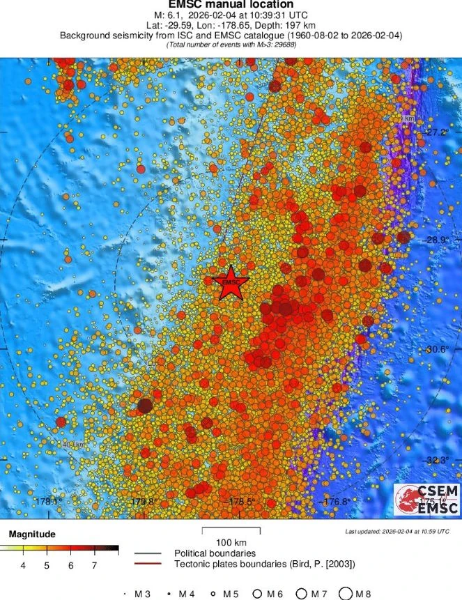
A strong earthquake registered by the USGS as M6.1 struck the Kermadec Islands region, New Zealand at 10:39 UTC on February 4, 2026. The agency is reporting a depth of 184.2 km (114 miles). EMSC is reporting M6.1 at a depth of 197 km (122 miles).
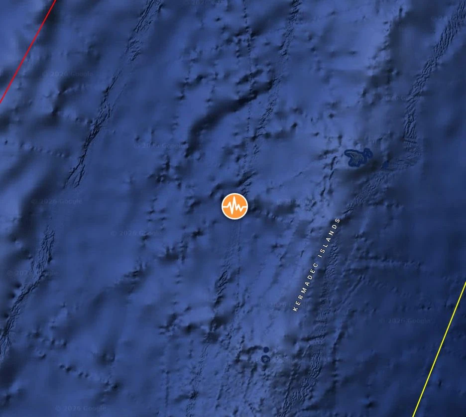
Epicenter of M6.1 earthquake in Kermadec Islands, New Zealand on February 4, 2026. Credit: TW/SAM, Google
The epicenter was located 928 km (578 miles) northeast of Ngunguru (population 1 358), 950 km (590.3 miles) northeast of Whangarei (population 50 900), and 994 km (617.7 miles) northeast of Orewa (population 11 790), New Zealand. This is about 1 000 km (620 miles) south-southwest of Nuku‘alofa (population 22 400), Tonga.
The USGS issued a Green alert for shaking-related fatalities and economic losses. There is a low likelihood of casualties and damage.
Overall, the population in this region resides in structures that are highly resistant to earthquake shaking, though some vulnerable structures exist. The predominant vulnerable building types are reinforced masonry and unreinforced brick with timber floor construction.
There is no tsunami warning, advisory, watch, or threat from this earthquake, according to data provided by the Pacific Tsunami Warning Center (PTWC).
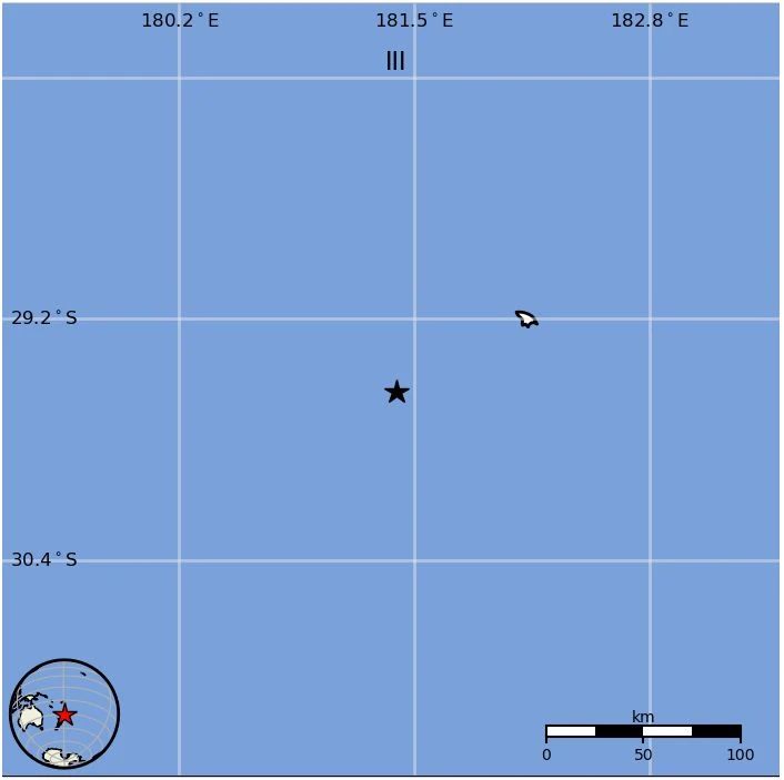
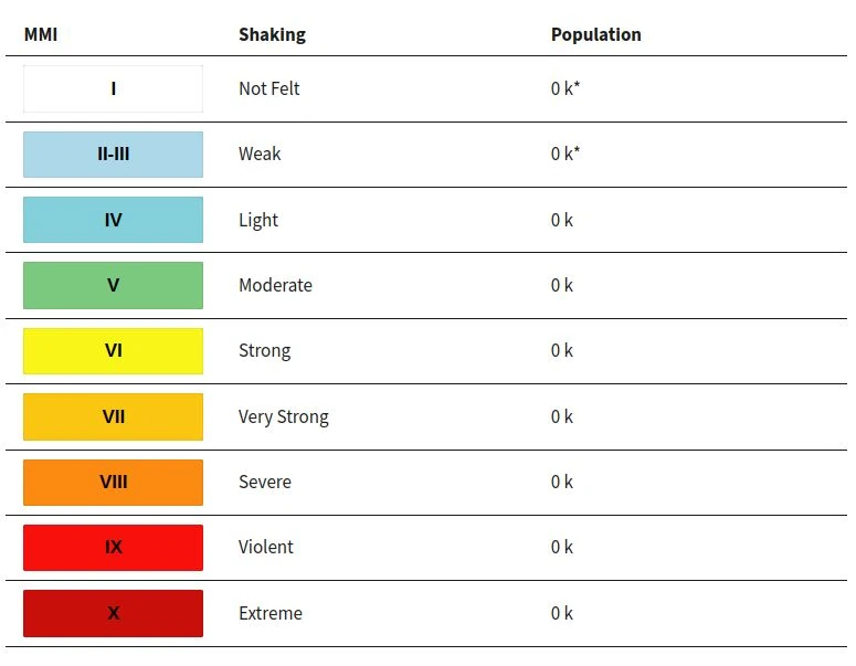
Estimated population exposure to earthquake shaking
Selected cities exposed
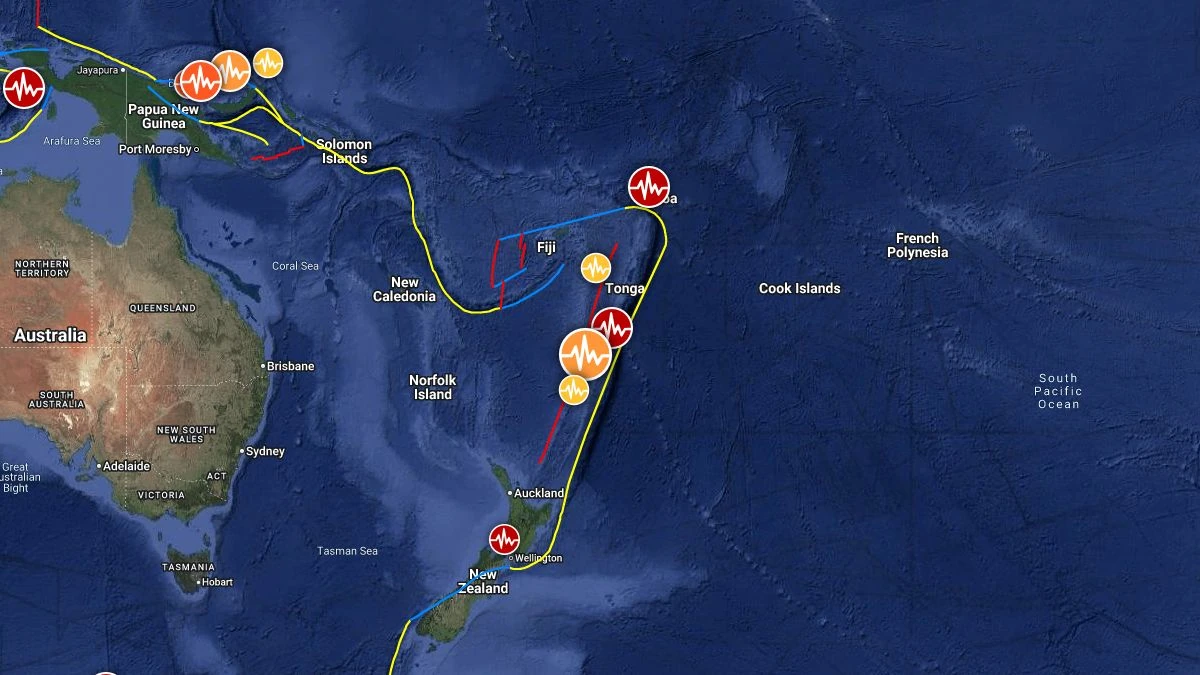
Regional seismicity
References:
1 M6.1 earthquake Kermadec Islands, New Zealand – USGS – February 4, 2026
2 M6.1 earthquake Kermadec Islands, New Zealand – EMSC – February 4, 2026

Teo Blašković founded The Watchers in 2011 and edited it until 2026, covering seismic and volcanic activity, extreme weather, space weather and near-Earth objects. Articles on this page are his archive.
