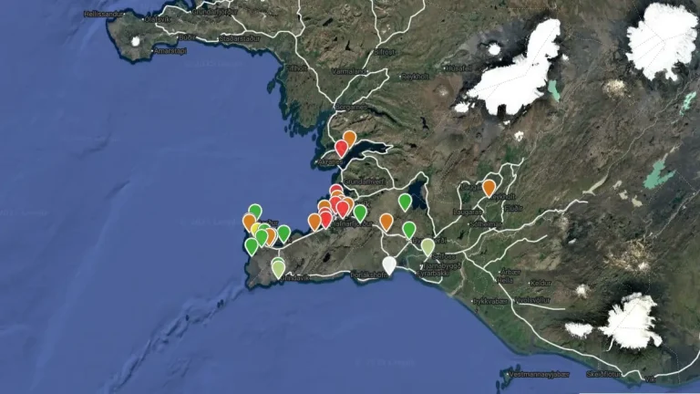
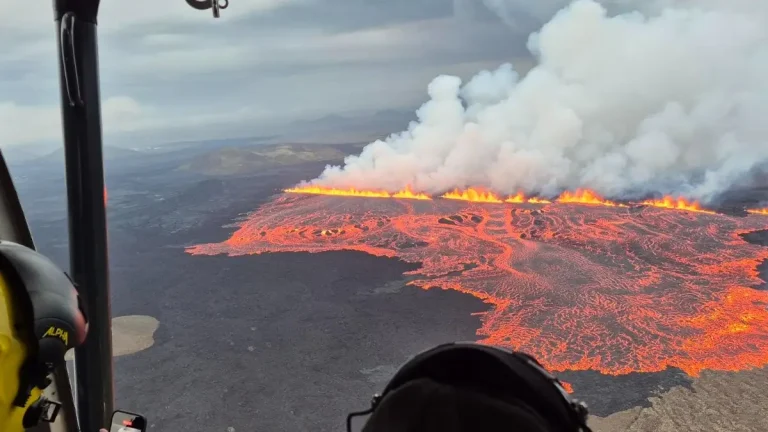
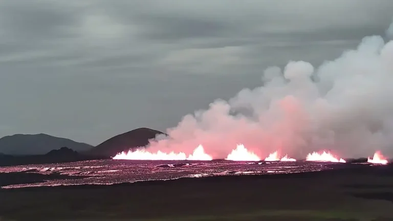
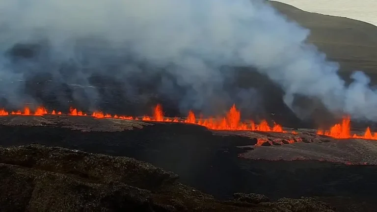
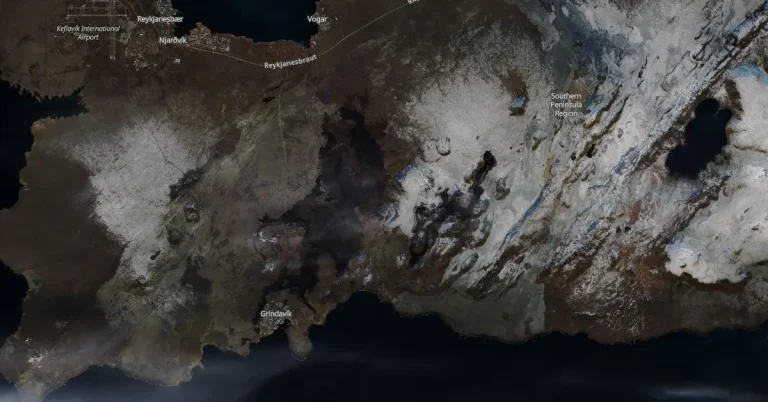
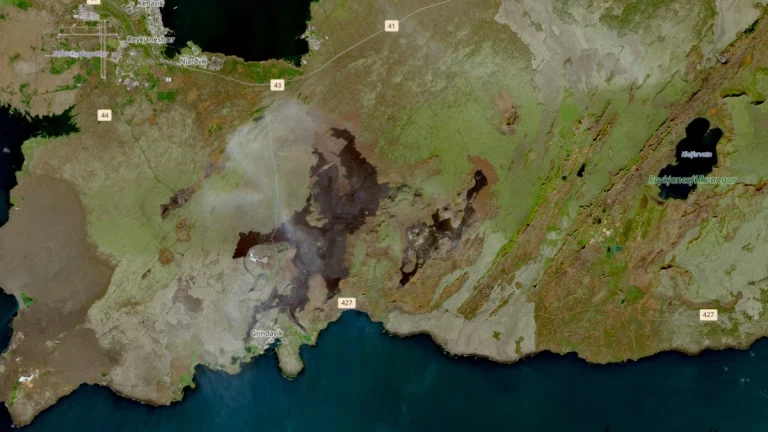
Volcanic eruption in Reykjanes Peninsula continues to pose risks, ground uplift continues, Iceland

Volcanic eruption in Reykjanes Peninsula continues to pose risks, ground uplift continues, Iceland

The ongoing volcanic eruption on Iceland’s Reykjanes Peninsula, which began at 20:23 UTC on March 16, 2024, continues to impact the area with significant ground uplift and persistent hazards from volcanic gas emissions. The eruption, centered at the Sundhnúkur crater row, shows no signs of abating, with an expanding lava field now covering 6.15 km² (23.5 mi2).

High levels of sulfur dioxide emissions in Reykjanes Peninsula, Iceland

High levels of sulfur dioxide emissions in Reykjanes Peninsula, Iceland

The eruption that began in Reykjanes Peninsula on March 16, 2024, continues at stable levels. However, the Icelandic Met Office (IMO) has been detecting very unhealthy levels of sulfur dioxide pollution over the past couple of days. Residents are urged to follow instructions provided by the Environment Agency of Iceland and the Office of the National Medical Examiner.

Magma volume rising, increased likelihood of eruption on Reykjanes Peninsula, Iceland

Magma volume rising, increased likelihood of eruption on Reykjanes Peninsula, Iceland

Magma volume beneath Svartsengi, Reykjanes Peninsula, Iceland continues to increase, which could result in a new dike propagation and/or volcanic eruption in the coming days, the Icelandic Met Office (IMO) reported at 14:00 UTC on March 5, 2024. Weather conditions over the next few days could affect IMO’s monitoring system.

Magma accumulation accelerates land rise near Svartsengi, Iceland

Magma accumulation accelerates land rise near Svartsengi, Iceland

In recent days, Svartsengi, Iceland, has experienced accelerated land rise, reaching up to 8 mm (0.3 inches) daily, attributed to magma accumulation under the area. While seismic activity remains mild, the risk assessment for Grindavík has been downgraded to orange, with a continued high risk for crack collapse.

Grindavik faces significant risk of ground collapse due to fissures, Iceland

Grindavik faces significant risk of ground collapse due to fissures, Iceland

Recent volcanic activity in the Svartsengi area has led to continuous land uplift, although the exact rate is still being determined through GNSS measurements. Around 200 earthquakes, the largest measuring M1.4, have been recorded near the magma conduit since yesterday. Despite a reduction in earthquake frequency, significant risks, including ground collapse, remain for the nearby Grindavík area.

Volcanic eruption starts near Grindavik, Reykjanes Peninsula, Iceland

Volcanic eruption starts near Grindavik, Reykjanes Peninsula, Iceland

A new volcanic fissure eruption started at 22:17 UTC on December 18, 2023, about 4 km (2.5 miles) NE of the town of Grindavik, Reykjanes, Iceland. The eruptive fissure is about 4 km long, with the northern end just east of Stóra-Skógfell and the southern end just east of Sundhnúk.

IMO confirms continued inflation, seismic unrest at Mt. Þorbjörn, Iceland

IMO confirms continued inflation, seismic unrest at Mt. Þorbjörn, Iceland

The Icelandic Met Office (IMO) has issued an update on the seismic and volcanic activity at Mt. Þorbjörn on the Reykjanes Peninsula, providing new data on the ongoing seismic unrest that began in late October. The uplift at the GNSS station has seen additional enlargements since the 7 cm rise previously reported over a 10-day period, reflecting continued subterranean pressure changes. The IMO, alongside the Civil Protection Agency, remains on high alert for signs of magma ascent, which could indicate a new phase in the volcanic activity of the area.