• Ice storm warnings in effect across Mississippi, Alabama, Tennessee, and Georgia

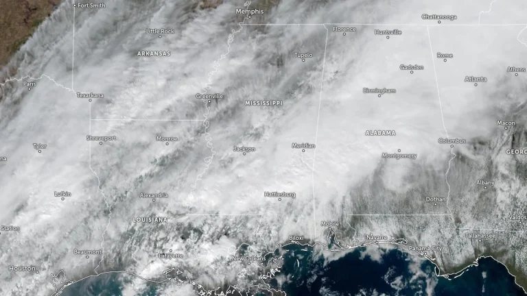
    Ice storm warnings are in effect for parts of Mississippi, Alabama, Tennessee, and Georgia between January 24 and 26, 2026. Ice accumulations of 6 mm to 25 mm (0.25 to 1 inch) and wind gusts up to 30 mph (48 km/h) are forecast across the regions. The combination of freezing rain, sleet, and gusty winds is expected to cause widespread power outages, tree damage, and extremely hazardous travel conditions.
  • Tornadoes touch down in Mississippi as severe storms sweep across the state

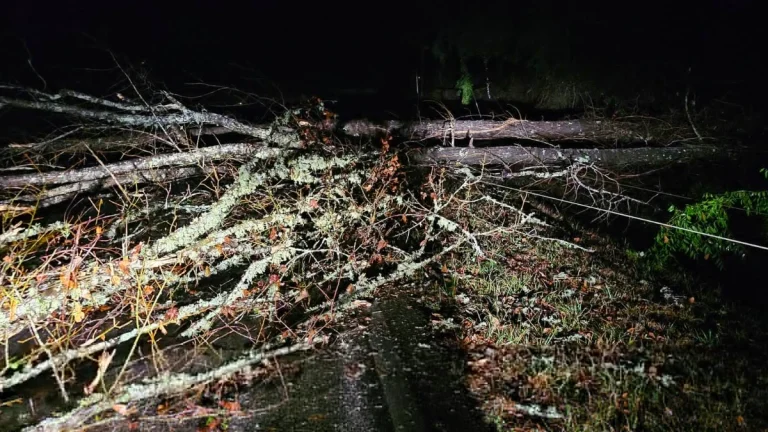
    Multiple tornadoes touched down in Mississippi on January 9, 2026, as a powerful storm system moved through the Deep South, producing damaging winds and heavy rainfall. The U.S. National Weather Service issued Tornado and Flash Flood Watches for large portions of the state, warning of further severe storms through January 10 as the system continues eastward.

  • Severe storms produce tornadoes near De Roche, Arkansas, and southwest of Yazoo City, Mississippi

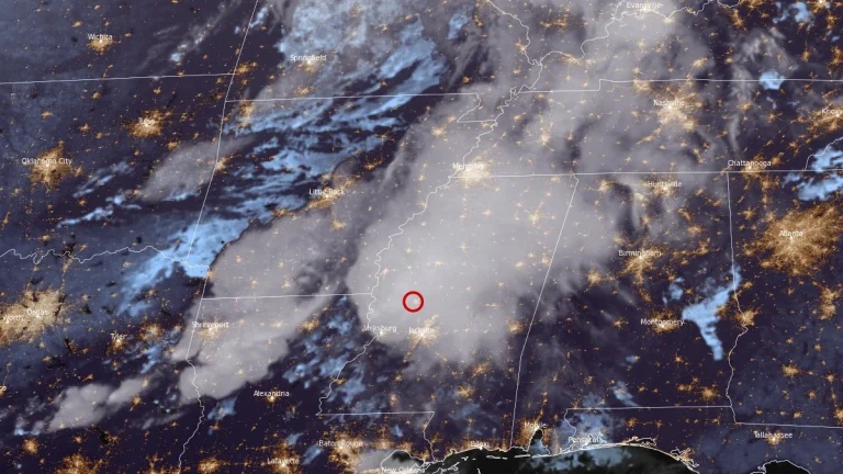
    Several tornadoes were reported across Arkansas, Louisiana, and Mississippi on the evening of October 18, 2025, including a radar-confirmed tornadic debris signature 3 km (2 miles) southwest of Yazoo City, Mississippi, at 21:34 LT. Earlier, a tornado caused structural damage in Hot Spring County, Arkansas, near De Roche, while another debris signature was detected near Warsaw, Louisiana, as supercells moved east across the Lower Mississippi Valley.

  • Highest snowfall totals in decades expected as extreme cold grips Louisiana and Mississippi, U.S.

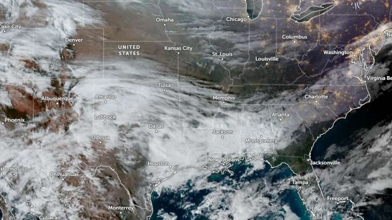
    A powerful winter storm is set to impact Louisiana and Mississippi on Tuesday, January 21, 2025, bringing heavy snowfall, dangerously low temperatures, and hazardous travel conditions. The National Weather Service (NWS) New Orleans office has indicated that snowfall on Tuesday, January 21, 2025, could be the highest recorded in the area in decades.