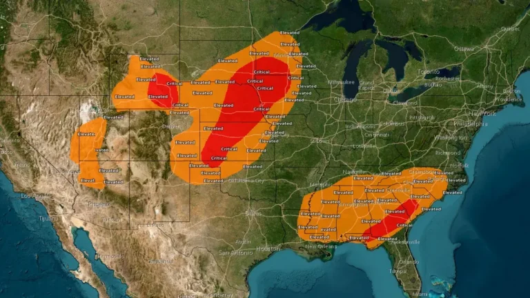
• Red Flag Warnings issued from the Plains to the Southeast under critical fire weather conditions

    Red Flag Warnings are in effect across the Central Plains and Southeast United States on March 28, 2026, as the National Weather Service (NWS) warns of critical fire weather conditions driven by strong winds, low relative humidity, and dry fuels. Wind gusts up to 80 km/h (50 mph) and humidity levels as low as 10–20% are expected to promote rapid fire ignition and spread. Outdoor burning is strongly discouraged across all warned regions.
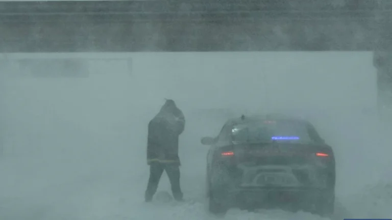
  • Blizzard Warnings issued for parts of South Dakota and Minnesota as heavy snow and strong winds threaten whiteout conditions

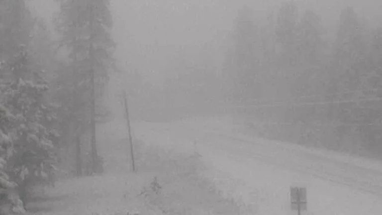
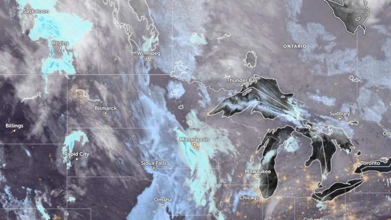
    Blizzard Warnings are in effect for parts of South Dakota and southwest Minnesota beginning late Saturday, March 14, 2026, as a major winter storm is forecast to bring heavy snow, blowing snow, ice in some areas, and wind gusts up to 80 to 90 km/h (50 to 55 mph). Forecasters warn that whiteout conditions could make travel extremely dangerous or impossible from Saturday night into Sunday, with some warning areas remaining under blizzard conditions into early Monday.

  • Winter Storm Warnings remain in effect from Idaho and Montana to the Upper Midwest

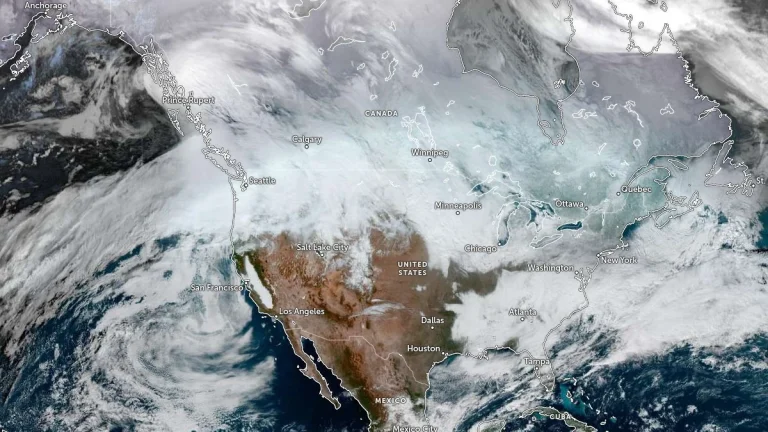
    Winter Storm Warnings remained in effect across parts of Montana, Idaho, Wisconsin, Michigan, Minnesota, and Wyoming on Friday, March 13, 2026, as a broad winter storm brought heavy snow, blowing snow, and hazardous travel conditions from the northern Rockies into the Upper Midwest. Forecast totals ranged from several cm in some lower elevations to 150 cm (5 feet) in parts of Idaho’s higher terrain, while parts of Montana’s mountain ranges were forecast to receive up to 120 cm (4 feet).

  • Winter Storm Warnings issued from the Rockies to the Upper Midwest and Northeast

    Winter Storm Warnings have been issued from the Rocky Mountains to the Upper Midwest and parts of the Northeast, with heavy snow, strong winds, and mixed precipitation forecast through March 14, 2026. Warnings will remain in effect from March 12 to 14 across much of Montana, Wisconsin, Michigan, Minnesota, and Maine, with more than 90 cm (3 feet) of snow forecast in some areas.

  • Extreme cold watches expand as Arctic outbreak spreads across central United States

    A large and prolonged outbreak of Arctic air is spreading across the United States, prompting extreme cold watches across much of the northern and central United States from Thursday, January 22, 2026, through Friday, January 24. This Arctic outbreak will bring one of the most dangerous cold spells in recent years, with the greatest threat lasting from Thursday night through early Saturday morning.

  • Blizzard conditions and destructive winds forecast for the northern Plains and northern Rockies, U.S.

    A fast-moving winter storm is forecast to bring widespread blizzard conditions and destructive winds across parts of Montana, North Dakota, and Minnesota through Wednesday night into Thursday, December 17 into 18, 2025. The system, driven a deep low-pressure trough, is generating gusts up to 110 km/h (70 mph) and localized peaks over 130 km/h (80 mph) in leeward mountain areas, potentially leading to whiteout conditions, road closures, and power outages across the region.