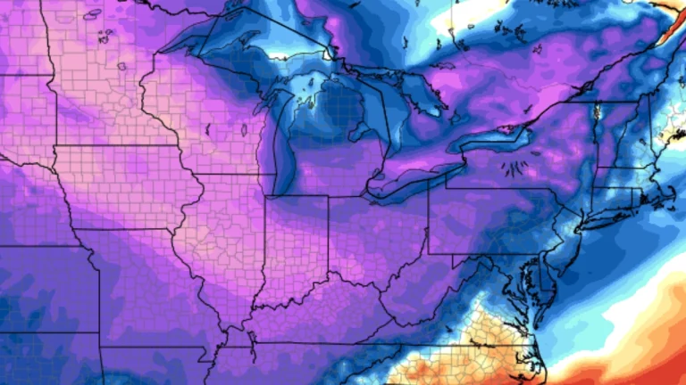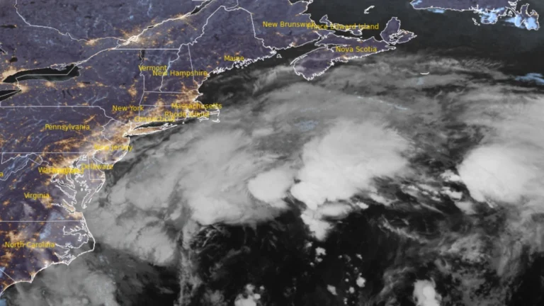
• Long-duration nor’easter brings coastal flooding to Virginia, threatens Northeast US with damaging winds and heavy rain

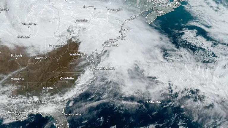
    A long-duration nor’easter is forecast to bring coastal gusts of 70–95 km/h (45–60 mph) and periods of heavy rain to southern New England from September 25, 2026 through the weekend. High Wind Warnings are in effect for coastal and southeastern Massachusetts and most of Rhode Island. Coastal Flood Warnings remain in effect across southeastern Virginia, where the National Weather Service (NWS) forecasts 0.6–0.9 m (2–3 feet) of inundation.
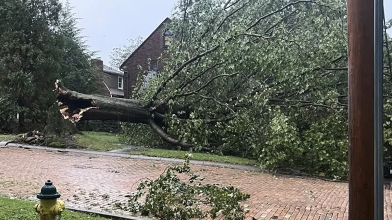
  • Severe storms damage trees and power lines from Michigan to Pennsylvania, damaging wind risk continues

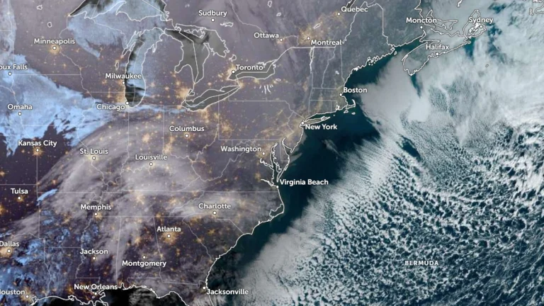
    Severe thunderstorms damaged trees and power infrastructure from Michigan to Pennsylvania on September 2 and 3, 2026 while a gust of 103 km/h (64 mph) was recorded at Ronald Reagan Washington National Airport late September 3. DTE Energy reported 145 000 customers restored by early September 4, while the Storm Prediction Center maintained a Slight Risk from the southern Great Lakes into the Mid-Atlantic, with damaging wind gusts the primary hazard

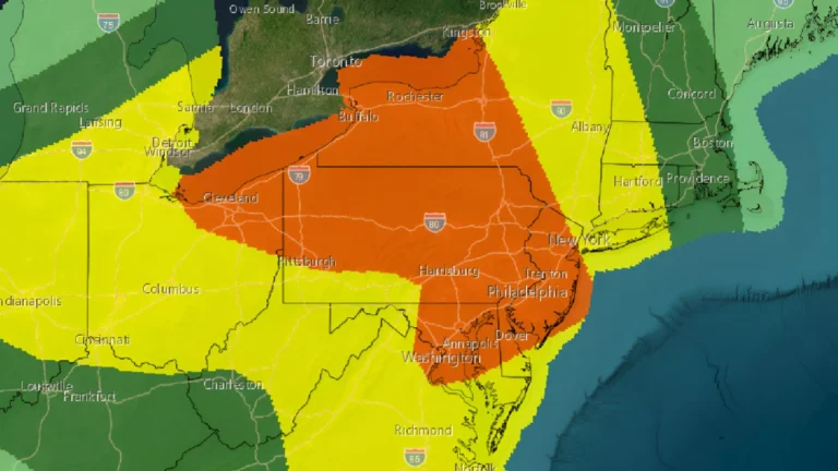
  • Enhanced risk of severe thunderstorms issued for parts of the Northeast, Mid-Atlantic, and Lower Great Lakes on July 18

    An enhanced risk of severe thunderstorms has been issued for portions of the Northeast, Mid-Atlantic, and Lower Great Lakes on Saturday, July 18, 2026, as an unusually strong upper-level storm system brings the threat of widespread damaging winds, large hail, and several tornadoes through the afternoon and evening.

  • Confidence increases for significant winter storm to impact Northeast and Mid-Atlantic

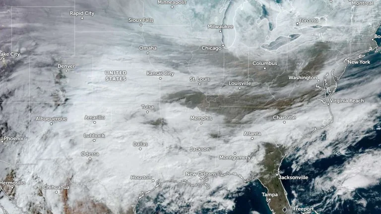
    Forecast confidence is increasing for an impactful winter storm to hit the Northeast and the Mid-Atlantic over the weekend into Monday, February 23, 2026. Lake-enhanced and lake-effect snow are forecast as the storm moves into the Great Lakes Region starting Saturday, February 21. Snowfall rates of over 25 mm (1 inch) an hour coupled with gusty winds will create dangerous travel conditions with low visibility and slick roads.

  • Potentially historic winter storm forecast to impact more than 30 states across the U.S.

    A potentially historic winter storm associated with the Polar Vortex is forecast to bring heavy snow, freezing rain, and dangerous cold across much of the United States from January 23 to 26, 2026. The system is expected to cause widespread travel disruptions, power outages, and hazardous conditions from Texas to the Northeast, with more than 200 million people under various National Weather Service warnings and watches.

  • Damaging ice forecast across parts of the South as high-impact winter storm develops

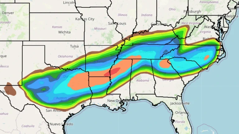
    A major long-duration winter storm is forecast to affect large portions of the central and eastern United States starting Friday, January 23, 2026, with confidence increasing in damaging ice accumulations across parts of the South. Heavy snow, sleet, and freezing rain are expected from the southern Rockies and Plains into the Mid-South, with the system spreading east into the Mid-Atlantic and New England through the weekend.