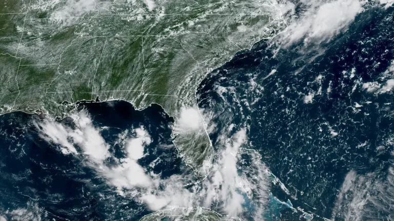
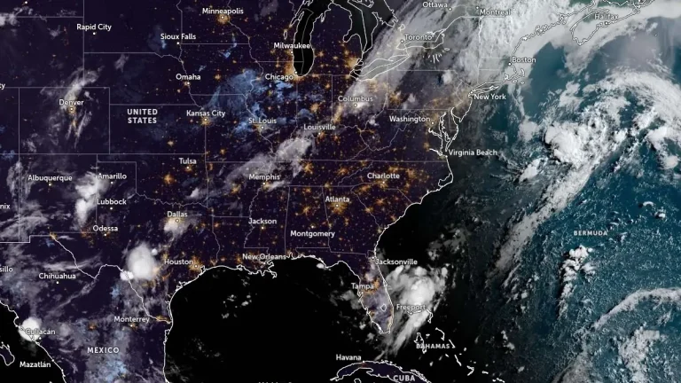
• Rare Flash Flood Emergency declared in Lake County after 480 mm (19 inches) of rain, Florida

    More than 19 inches (483 mm) of rain fell within a few hours across Lake County, Florida, on October 26, 2025, prompting the National Weather Service in Melbourne to issue a rare Flash Flood Emergency. Severe thunderstorms caused extensive inundation in Central Florida, submerging vehicles and closing roads in Eustis, Mount Dora, and Titusville. Flood Warnings remain in effect along the St. Johns River as additional storms affect the region on October 27.

  • Tropical Storm Imelda forecast to strengthen into a hurricane, Humberto maintains Category 4 strength

    Tropical Storm Imelda formed over the Atlantic on September 28, 2025, as Hurricane Humberto peaked at Category 5, and dropped back to Category 4. While neither of the storms is expected to make landfall over the contiguous United States, they could produce hazardous conditions for the southeastern states including Florida, South Carolina, and much of the East Coast this week.

  • Dense mats of decomposing sargassum invade Dania Beach, Florida

    Thick accumulations of decomposing sargassum seaweed washed ashore in Dania Beach, Florida on July 23, 2025, releasing hydrogen sulfide odors and prompting cleanup efforts. The event was part of a broader seasonal trend affecting Florida’s coastlines, driven by ocean currents and wind patterns transporting offshore blooms inland.

  • Heavy rainfall and flash flooding threaten Florida and Gulf Coast as Invest 93L moves westward

    A low-pressure system designated Invest 93L is moving westward across the Florida Peninsula on July 15, 2025, with a medium chance of tropical cyclone development in the northeastern Gulf by mid-week. The system could become a tropical depression or Tropical Storm Dexter later this week, potentially affecting the northern Gulf Coast with heavy rain and localized flooding.

  • Flash flooding expected in Mid‑Atlantic and Florida due to record moisture and slow-moving storms

    Flash flood potential is elevated across several U.S. regions, with a Moderate Risk (level 3/4) in effect for the I-95 corridor in the Mid‑Atlantic from July 14 into July 15, 2025, due to a slow-moving frontal boundary and record-setting atmospheric moisture. Elevated flash flood risk also exists across the Florida Peninsula as deep tropical moisture and slow-moving storms impact the region.