• Preliminary 211 km/h (131 mph) gust in South Dakota among the strongest thunderstorm winds in U.S.

    A wind gust of 211 km/h (131 mph) measured near Holabird, South Dakota, during severe thunderstorms on June 29, 2026, would rank as the 15th-strongest thunderstorm wind gust ever recorded in the United States if confirmed. The storms damaged grain bins, metal buildings, trees and other infrastructure across several counties with straight-line winds extending from south-southwest of Andover into the town.

  • Canyon County declares emergency after storms hit Nampa–Caldwell area, Idaho

    Canyon County, in southwest Idaho’s Treasure Valley west of Boise, declared a countywide disaster emergency on June 27, 2026, after severe thunderstorms moved through the Nampa–Caldwell area the previous evening, bringing strong winds, heavy rain, and hail. Preliminary National Weather Service (NWS) observations recorded gusts of 89 km/h (55 mph) at Boise Airport and 85 km/h (53 mph) at Caldwell Airport.

  • Winter Storm Warnings issued for Idaho and Montana mountains

    The National Weather Service (NWS) office in Missoula upgraded Winter Storm Watches to Winter Storm Warnings at 11:04 MDT (17:04 UTC) on June 26, 2026, for four high-elevation zones in central Idaho and southwest Montana, where 10-20 cm (4-8 inches) of heavy wet snow, with isolated amounts up to 30 cm (12 inches), is forecast above about 2 000 m (6 500 feet) over the weekend.

  • Red Flag Warning issued in parts of Alaska due to lightning threat

    A Red Flag Warning remains in effect across large parts of Interior Alaska until 22:00 AKDT (06:00 UTC June 22) on June 21, 2026. Scattered thunderstorms capable of producing lightning along with low humidity, hot temperatures, and gusty winds to create critical fire weather conditions in the region.

  • Severe storms and flash flooding forecast across the Plains, Midwest, and eastern U.S. through June 23

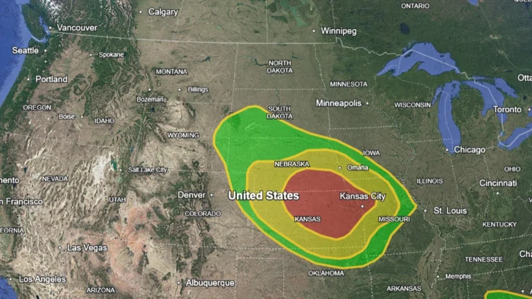
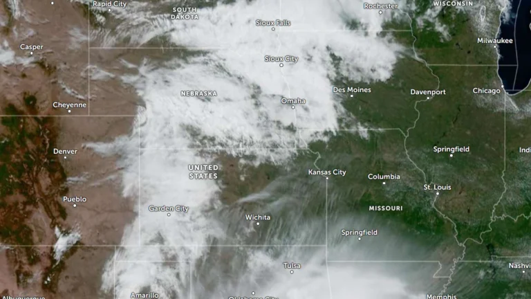
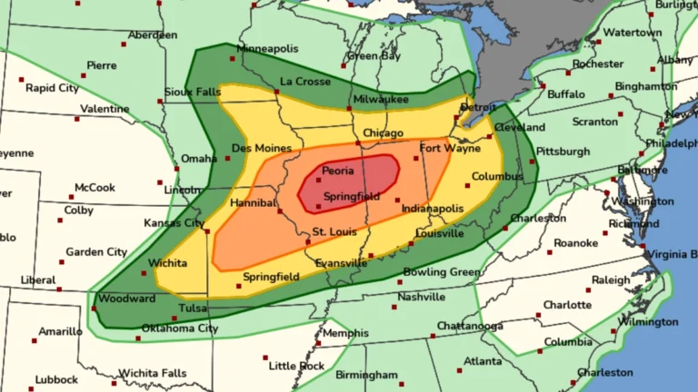
    A multi-day severe weather outbreak is forecast to affect large portions of the central and eastern United States through Tuesday, June 23, 2026. Forecasters are warning of scattered to widespread flash flooding in parts of Nebraska, Kansas, and Missouri under a Moderate Risk of excessive rainfall, while severe thunderstorms capable of producing very large hail, damaging winds, and tornadoes develop across the Plains and Midwest.

  • Moderate Risk of excessive rainfall across Texas and Louisiana, flood threat forecast through June 17

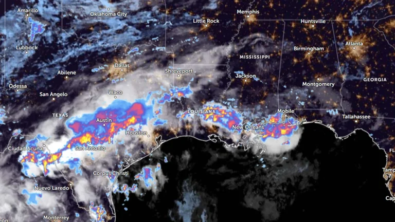
    Heavy rainfall is forecast from South Texas into the lower Mississippi Valley this week. Moderate Risk excessive rainfall outlooks remain in effect across parts of the Gulf Coast as multiple rounds of thunderstorms develop within an unusually moist tropical air mass. Rainfall totals could reach 100 to 150 mm (4 to 6 inches) in some areas, with locally higher amounts possible from June 15 to 17, 2026.