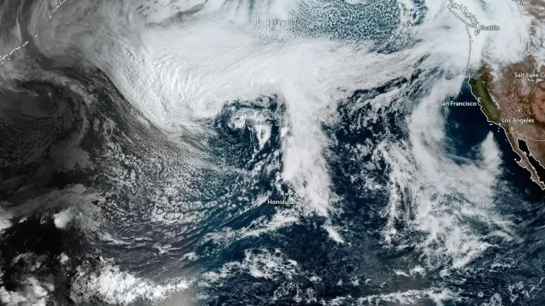
Kona low prompts statewide closures as severe weather threat intensifies across Hawaii
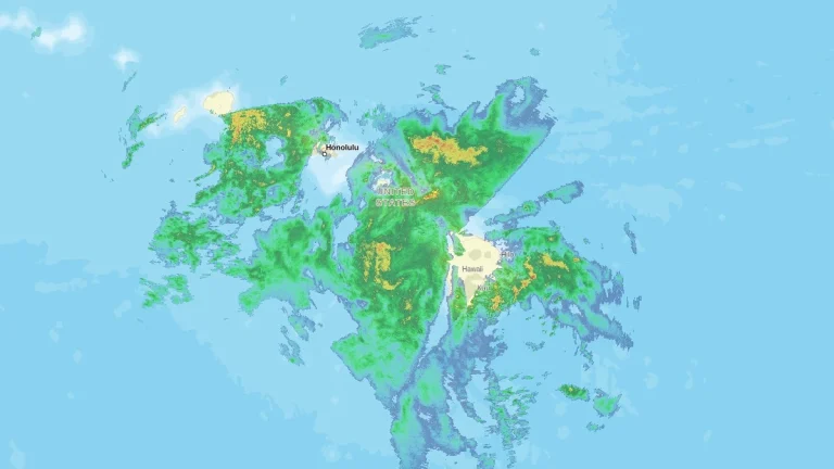
A powerful Kona low on Friday, March 13, 2026, bringing widespread severe weather across the islands. The National Weather Service issued a Winter Storm Warning for the Big Island summits, where heavy snow and ice are forecast above 3 350 m (11 000 feet). Forecasters warned that persistent rainfall bands and severe thunderstorms could trigger flash flooding while damaging wind gusts affect multiple islands.