Category 5 Super Typhoon Bavi batters Rota with 290 km/h (180 mph) winds, major damage reported
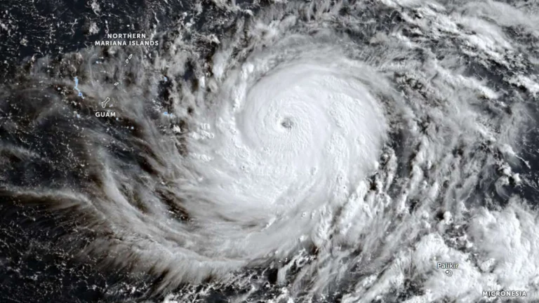
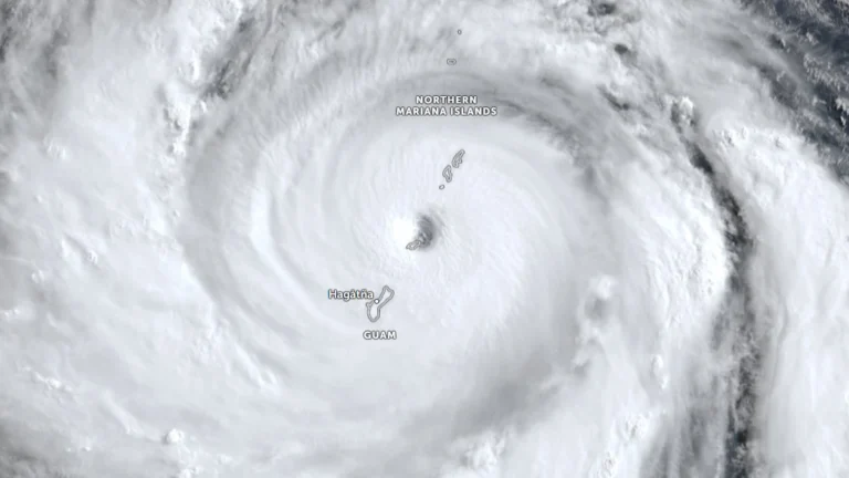
Super Typhoon Bavi crossed the Northern Mariana Islands as a Category 5 cyclone on Monday, July 6, 2026, bringing maximum sustained winds of 290 km/h (180 mph) to Rota as the eyewall passed over the island. Local officials reported major damage while emergency warnings remained in effect across the Marianas.