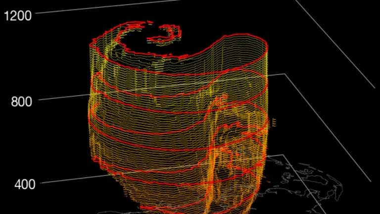
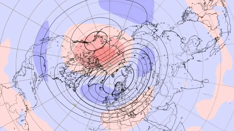
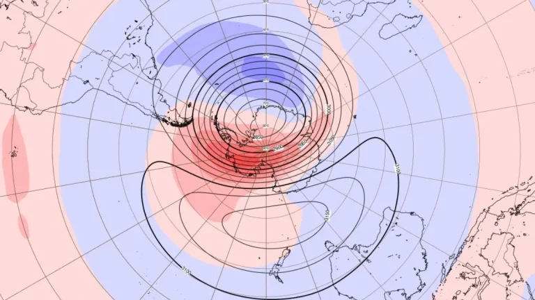
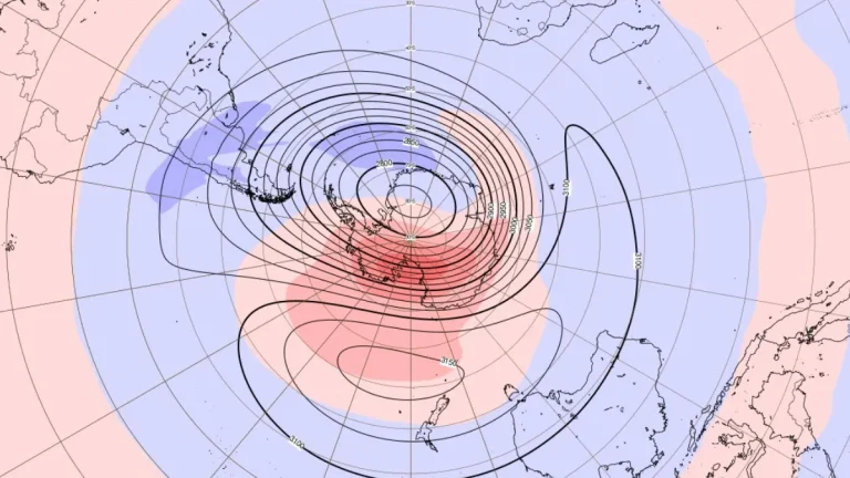
ENSO-neutral persists, NOAA issues La Niña Watch for late 2025
ENSO remains neutral, and NOAA’s Climate Prediction Center has issued a La Niña Watch, assigning a 71 % probability of La Niña development during October–December 2025.

ENSO remains neutral, and NOAA’s Climate Prediction Center has issued a La Niña Watch, assigning a 71 % probability of La Niña development during October–December 2025.

A rare stratospheric warming event is disrupting the Antarctic polar vortex in September 2025, with forecasts suggesting wetter southern Australia, drier eastern Australia, and a higher chance of abnormally hot days.

A sudden stratospheric warming event is unfolding over Antarctica in early September 2025, rapidly weakening the southern polar vortex. Forecast models indicate potential downstream effects on the Northern Hemisphere jet stream, with implications for winter 2025/26 in the USA and Canada.

The World Meteorological Organization confirmed a new lightning flash record spanning 829 km (515 miles) across the Great Plains, United States, observed on October 22, 2017.

An extremely rare gigantic jet, powerful bolt of upward lightning, was captured from the International Space Station as it soared above a thunderstorm over northern Mexico and the U.S. Southwest on July 3, 2025. The striking image, taken by NASA astronaut Nichole Vapor Ayers, shows the jet piercing into the ionosphere, offering a rare glimpse of one of Earth’s most elusive atmospheric phenomena.

The Antarctic stratosphere is showing initial signs of disruption, as early warming waves form around a persistently cold polar vortex core. Further intensification and broadening of the anomalies are forecast for July 2025.

A plume of Saharan dust stretching from the coast of Africa to the northwestern Caribbean and into the Gulf of Mexico is forecast to reach Florida by Saturday, May 31, 2025. Southern and central parts of the state are expected to experience hazy skies and reduced air quality over the weekend. A denser plume could arrive by mid-next week, with the dust reaching Texas by Tuesday, June 3.

Large-scale pressure changes following a strong sudden stratospheric warming event in mid-March 2025, which caused the collapse of the polar vortex, are expected to drive spring weather patterns across Canada and the United States into May. Northerly winds are expected to bring colder air into parts of North America, while high-pressure zones may lead to warmer conditions in the central U.S. and southern Canada. The shifts in weather patterns are consistent with the typical effects observed following a polar vortex disruption, where the jet stream becomes more erratic, leading to unusual temperature distributions and weather events.

A large plume of Saharan dust is moving across the Mediterranean Sea into southern and central Europe, with peak concentrations expected on April 16. The event is likely to reduce air quality and may cause “blood rain” in areas affected by rainfall.

The final polar vortex collapse of the 2024–25 winter season has begun with one of the strongest sudden stratospheric warming (SSW) events being forecast to develop and bring late-season cold to much of the U.S.