
Airborne surveys show more than 90% snowpack loss in Arizona’s Upper Black River Basin
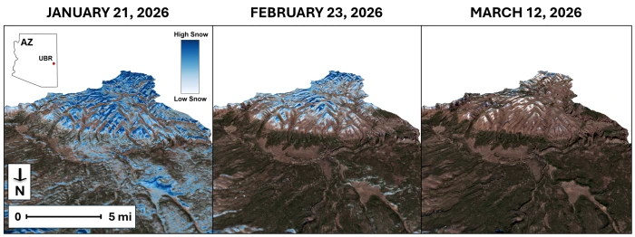
Airborne snow surveys in the Upper Black River Basin of eastern Arizona showed snow water equivalent falling from about 11.7 million m3 (9.5 thousand acre-feet) on February 23 to about 987 000 m3 (0.8 thousand acre-feet) by March 12, 2026, a decline of more than 90% in less than three weeks. The basin feeds the Salt River system upstream of Roosevelt Dam, part of the reservoir network supplying water to more than 2.5 million people in the Phoenix metropolitan area.

Canyon Lake, an SRP reservoir, stores snowmelt water from upstream. Credit: Zhaocheng Wang/ASU
Airborne snow surveys conducted in the Upper Black River Basin in eastern Arizona by reserchers from the Arizona State University (ASU) show that snow water equivalent declined from about 11.7 million m3 (9.5 thousand acre-feet) on February 23 to about 1 million m3 (0.8 thousand acre-feet) by March 12, representing a loss of more than 90% in less than three weeks.
The basin is part of the Salt River watershed upstream of Roosevelt Dam and contributes significantly to water supplies for the Phoenix metropolitan area, serving more than 2.5 million people.
The Salt River Project (SRP) delivers approximately 984 billion liters (260 billion gallons) of water annually from a watershed spanning about 33 700 km2 (13 000 mi2), with mountain snowpack acting as a primary seasonal input to reservoir storage.
The decline occurred during a winter marked by record warmth and widespread snow drought across the western United States. According to Drought.gov, snow drought worsened from February into early March because of unusually warm conditions, while Arizona was among the areas with increasing precipitation deficits and early snowmelt.
Airborne observations were conducted using lidar and imaging spectrometer systems developed by the National Aeronautics and Space Administration (NASA) Jet Propulsion Laboratory and operated by Airborne Snow Observatories. These systems mapped snow depth and water content across the basin at high spatial resolution, enabling full watershed coverage rather than point-based estimates.
Traditional snow monitoring relies on a limited number of ground sensors, which can miss strong variability across Arizona’s rugged and forested terrain. Airborne mapping showed that by mid-March, remaining snow was concentrated at the highest elevations and along north-facing ridgelines, where solar exposure is lower.
When the January airborne survey was assimilated into the basin snow model, the modeled snow-covered area increased from 31% to 96%, showing how basin-wide observations can substantially change watershed estimates.
Integration of airborne measurements into hydrologic models significantly altered basin-scale estimates. Assimilation of January survey data increased the modeled snow-covered area from 31% to 96%, reflecting the ability of basin-wide observations to detect snow accumulation in shaded and rugged terrain not captured by ground networks.
The datasets are also being used to train artificial intelligence models that combine airborne observations with satellite imagery, enabling near-daily estimation of snow cover and snow water equivalent.
“These airborne datasets are helping us train artificial intelligence models using satellite imagery,” said Enrique Vivoni, director of the Center for Hydrologic Innovations at ASU. “That allows us to turn daily images into estimates of snow cover and water content.”
The timing of snowmelt is a critical parameter for water resource management, particularly in systems dependent on seasonal runoff.
“This kind of information helps us understand not just how much water we have, but when it’s going to arrive,” said Bo Svoma, SRP climate scientist and senior meteorologist. “That timing is critical for how we manage our reservoirs heading into the spring and summer.”
Earlier and faster melt reduces the duration of runoff and can shift peak inflows, increasing reliance on groundwater and altering reservoir storage strategies during high-demand periods. Regional assessments indicate that all major river basins in the western United States are experiencing snow drought conditions, with several basins recording their warmest winter on record and early melt onset already underway.
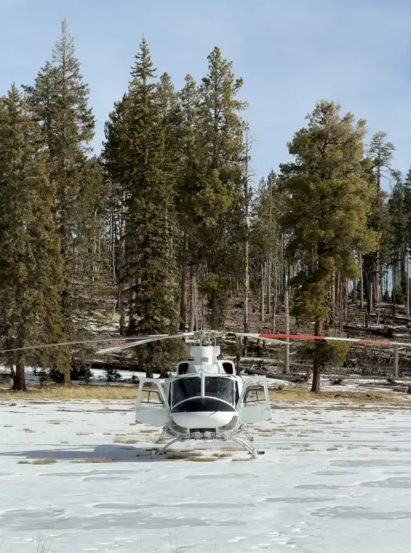
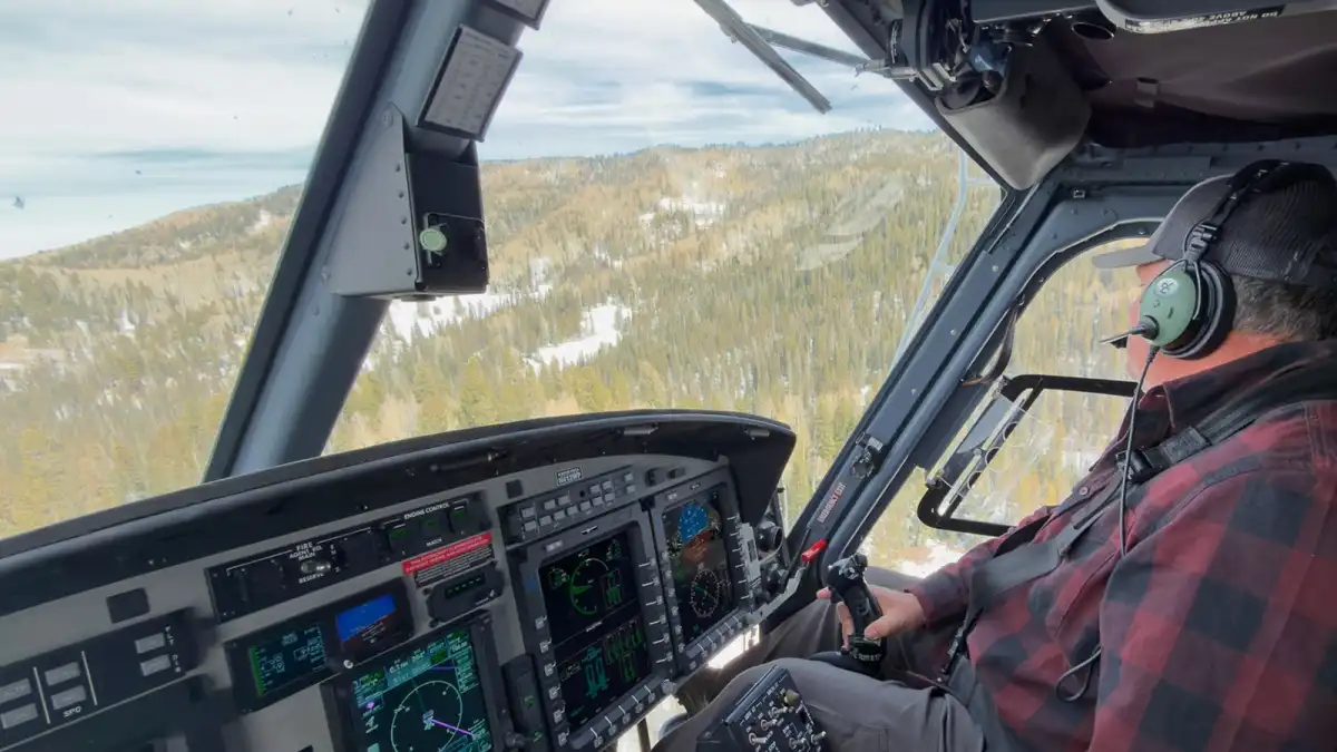
 Rob Ackerman, a helicopter pilot for Salt River Project, flies west of Mount Baldy in eastern Arizona. Credit: Zhaocheng Wang/ASU
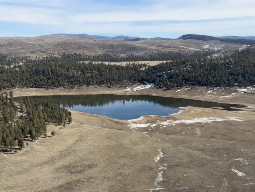
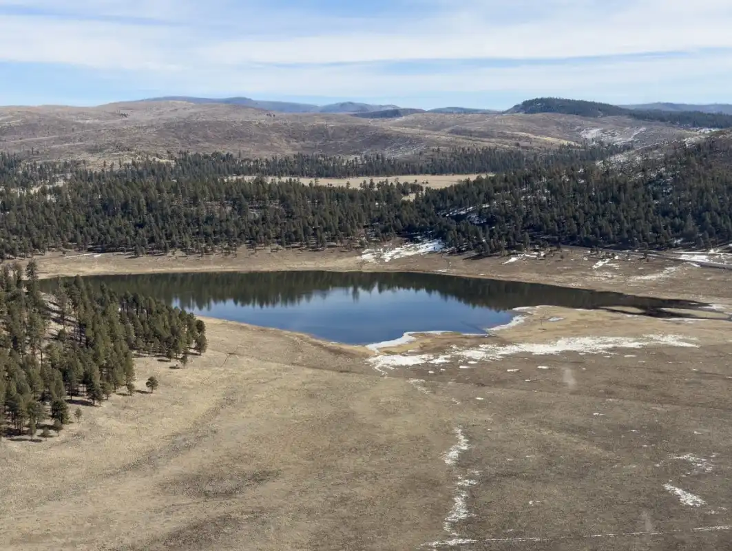
- Lake Sierra Blanca in the Upper Black River watershed at 8,500 feet surrounded by Ponderosa pine. This area could be completely snow covered in very wet years. On a February survey date, most of the snow melted in this area. Credit: Zhaocheng Wang/ASU

Hydrologic modeling under these conditions provides an opportunity to evaluate system performance during extreme low-snow years. Successful simulation of such scenarios improves forecasting reliability under both deficit and average conditions.
Research efforts led by ASU aim to reduce uncertainty in predicting how mountain snowpack translates into downstream water availability.
The integration of airborne surveys, satellite data, and modeling frameworks is contributing to the development of a “digital watershed twin,” a system capable of continuously representing snowpack dynamics and forecasting water supply at the basin scale.
References:
1 ASU-SRP snow surveys show much of Arizona’s headwater snowpack melted in weeks – ASU News – March 25, 2026
2 Snow Drought Current Conditions and Impacts in the West – Drought.gov – Accessed on March 27, 2026

I’m a science journalist and researcher at The Watchers, contributing to the Epicenter edition, where I cover peer-reviewed scientific research and emerging discoveries across Earth and space sciences. With a background in astronomy and a passion for environmental science, I’ve worked in shark and coral conservation in Fiji, conducting reef and shark-behavior research, contributing to mangrove restoration, and earning PADI Open Water and Coral Reef Certifications. I bring a blend of scientific rigor and storytelling to illuminate the discoveries shaping our planet and beyond.
Nature inherently involves variability in events and in the behavior of its environmental variables over time; this is inevitable. How did several civilizations disappear? Through abnormal events that have always occurred and will always occur.