
Early-season nor’easter forecast to affect areas from the Carolinas to New England this weekend
An early-season nor’easter forming off the Southeast U.S. coast is expected to strengthen and move northward from Friday, October 10, through Tuesday, October 14, 2025, producing coastal flooding, heavy rain, and wind gusts capable of downing trees and power lines along parts of the East Coast.
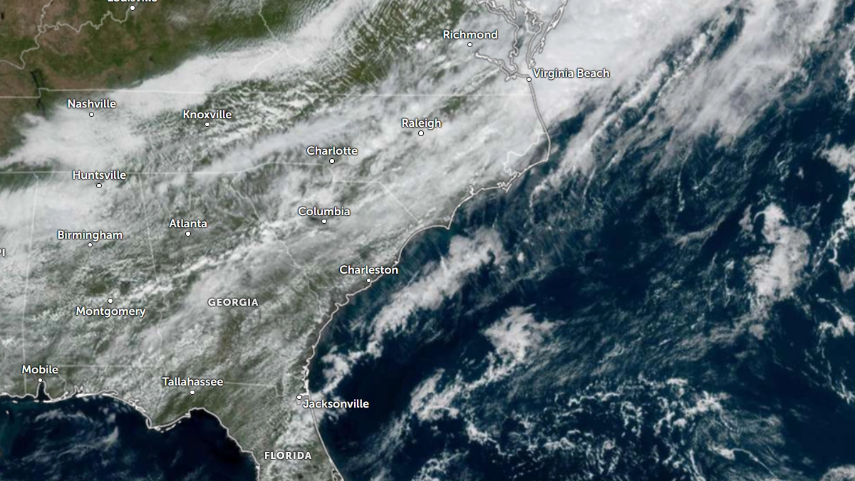
Satellite image of Southeastern U.S. at 22:30 UTC on October 8, 2025. Credit; NOAA/GOES-East, Zoom Earth, The Watchers
A coastal low-pressure system developing off the Southeast U.S. coast is forecast to intensify into a classic nor’easter late this week and affect the coastal areas from northeastern Florida and the Carolinas to southern New England from Friday through Tuesday, October 10–14.
Nor’easter is a powerful coastal storm that forms along the East Coast of North America, characterized by strong northeast winds, heavy rain or snow, and rough seas, according to the National Weather Service (NWS).
It typically develops when cold Arctic air from the north meets warm, moist air from the Atlantic Ocean, often resulting in severe weather, coastal flooding, and widespread disruption, especially between September and April.
According to The Weather Channel, persistent onshore flow ahead of the storm will begin driving high surf, rip currents, and coastal flooding along the Southeast coast as early as Friday.
The National Weather Service (NWS) expects the strongest impacts from northern South Carolina through coastal North Carolina and Virginia during the weekend, spreading northward toward the Delmarva Peninsula, Long Island, and southern New England by Sunday and Monday, October 12 and 13. Exact timing and intensity remain dependent on the storm’s track.
Sustained onshore winds of 40–65 km/h (25–40 mph) with gusts to 80–100 km/h (50–60 mph) are forecast along exposed capes and barrier islands.
Strong winds, combined with a prolonged fetch, are expected to generate surf of 2–4 m (6–13 feet) and moderate to locally major coastal flooding during high tide, particularly near Charleston (South Carolina), Wrightsville Beach (North Carolina), Ocean City (Maryland), and the Delaware coast.
If the low tracks close to the coast, rainfall totals of 50–125 mm (2–5 inches) are possible along the coastal plain, with isolated amounts exceeding 150 mm (6 inches) from eastern North Carolina to southern New Jersey.
Inland rainfall is expected to decrease rapidly west of the I-95 corridor. Localized freshwater flooding and minor river rises are possible in low-lying areas, and saturated soils could lead to scattered tree damage and power outages.
The developing low is expected to remain non-tropical in structure, forming along a stationary frontal boundary and driven by baroclinic processes.
There is a low probability that the system will briefly acquire subtropical characteristics over the Gulf Stream. If that happens, it will be named Tropical Storm Karen by the NHC.
Tropical Storm Jerry, currently located well east of the coast in the western Atlantic, is not expected to merge with or significantly influence the nor’easter. NHC advisories indicate Jerry will continue northeastward into the open Atlantic.
The system may linger into early next week as upper-level steering currents weaken, allowing prolonged coastal impacts even after peak intensity. Gradual weakening and offshore drift are expected by Tuesday.

I am an Assistant Editor and Severe Weather & Science Journalist at The Watchers, specializing in real-time severe weather coverage, geophysical event reporting, and research-driven scientific analysis. You can reach me at rishav(at)watchers(.)news.
Commenting rules and guidelines
We value the thoughts and opinions of our readers and welcome healthy discussions on our website. In order to maintain a respectful and positive community, we ask that all commenters follow these rules.