
Dangerous travel conditions, snow squalls forecast from the Great Lakes to the Northeast
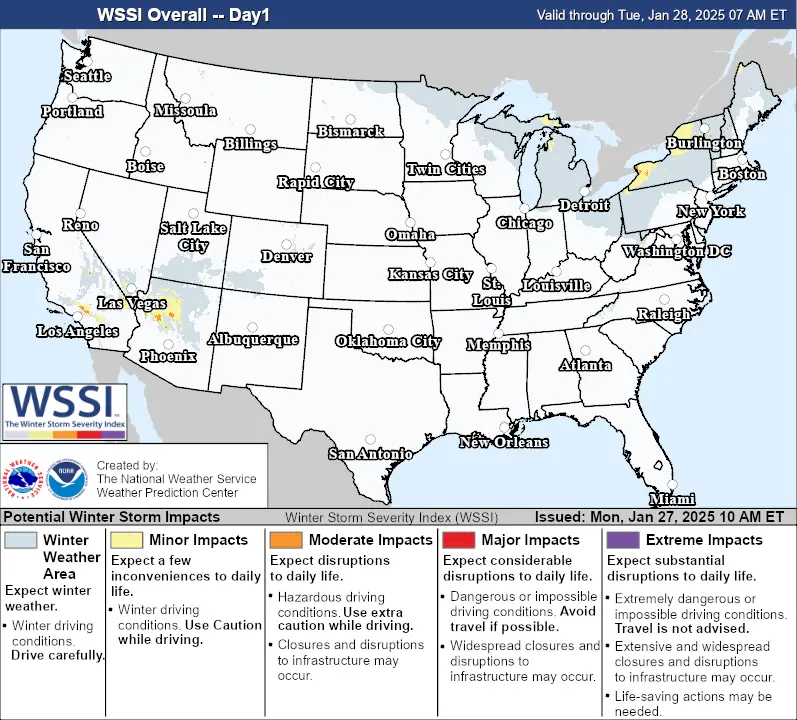
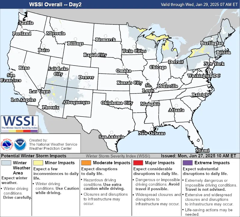
A significant threat of snow squalls is forecast to impact the Great Lakes, Mid-Atlantic, and Northeast from Monday, January 27, to Wednesday, January 29, 2025, bringing hazardous travel conditions, heavy snowfall, and gusty winds.
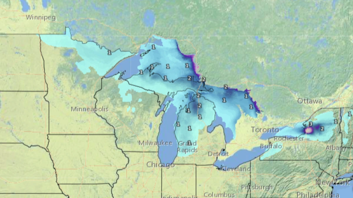
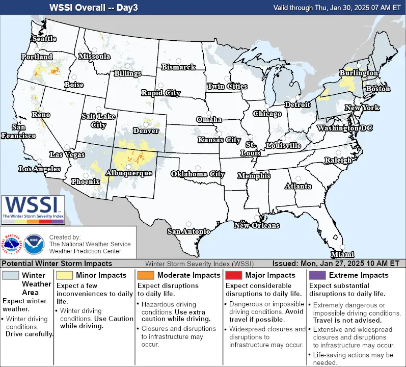
Map showing forecast snow accumulation around the Great Lakes from Monday, January 27 to Wednesday, January 29, 2025. Image credit: NWS
An incoming Arctic cold front will bring the potential for snow squalls from Monday evening, January 27 into Tuesday morning from the eastern Great Lakes, New England, and the northern Mid-Atlantic states.
The snow squalls will bring intense bursts of heavy snowfall and gusty winds, leading to dangerous travel conditions across the region.
This will be followed by a secondary arctic front passing directly through the region, bringing another round of snow squalls Tuesday night through Wednesday from the vicinity of the Great Lakes into the northern Mid-Atlantic States, again producing dangerous travel.
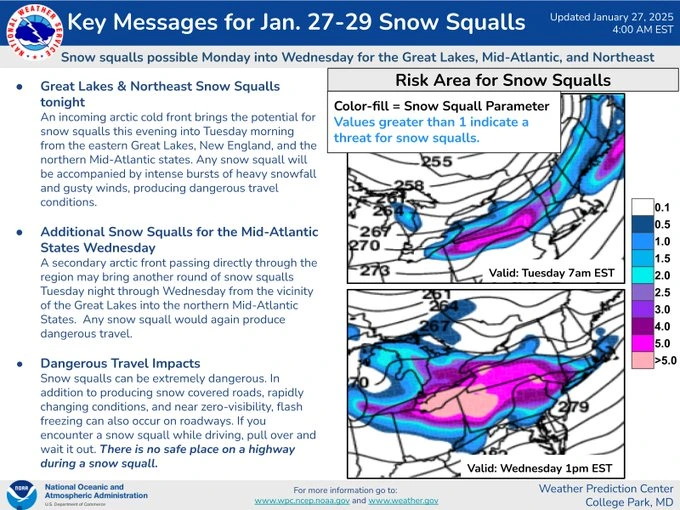

The National Weather Service (NWS) is reminding residents in affected regions that snow squalls can be extremely dangerous.
In addition to producing snow-covered roads, rapidly changing conditions, and near zero visibility, flash freezing can also occur on roadways. If you encounter a snow squall while driving, pull over and wait it out.

I am an Assistant Editor and Severe Weather & Science Journalist at The Watchers, specializing in real-time severe weather coverage, geophysical event reporting, and research-driven scientific analysis. You can reach me at rishav(at)watchers(.)news.
Commenting rules and guidelines
We value the thoughts and opinions of our readers and welcome healthy discussions on our website. In order to maintain a respectful and positive community, we ask that all commenters follow these rules.