
At least one dead, hundreds of crashes as strong winter storm batters U.S. with record snow
The first winter storm of 2025 has battered much of the United States with severe weather conditions, record snow, and ice leading to hundreds of crashes and at least one fatality in Missouri. Severe weather and icy roads have led to severe travel disruptions, causing over 3 000 flight delays and multiple road closures across the country.

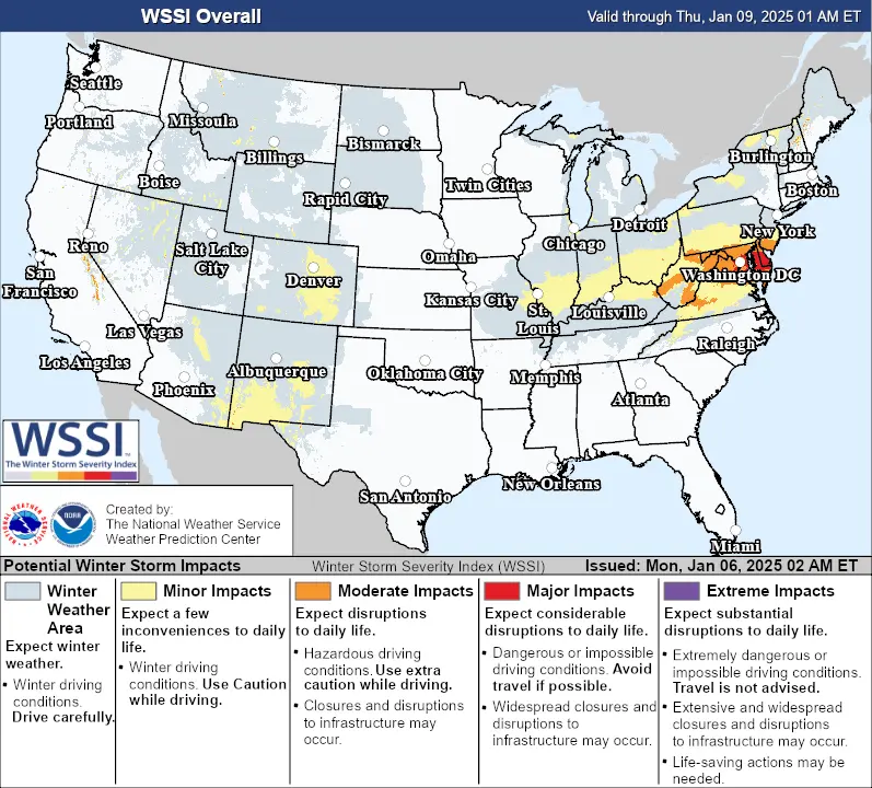
Image credit: NOAA/GOES-East, RAMMB/CIRA, The Watchers. Acquired at 22:50 UTC on January 5, 2025
- The first major winter storm of 2025 brought severe weather and hazardous travel conditions to much of the U.S. from Friday, January 3 to Monday, January 6, 2025.
- At least one fatality has been reported as the storm created hazardous weather conditions stranding over a 1 000 vehicles and causing over 300 crashes.
- Kansas City recorded the 4th highest single-day snowfall on Sunday due to the storm
The first winter storm of the year has severely impacted much of the United States, bringing severe weather conditions to Kansas, Missouri, Illinois, Kentucky, and West Virginia. At least one person has been reported dead during the storm’s impact in Missouri.
Blizzard conditions affected several areas, including Kansas City, St. Louis, and Indianapolis, leading to significant ice accumulation, numerous crashes, and widespread power outages.
Missouri experienced the severe impacts of the storm, as the Missouri State Highway Patrol (MSHP) reported responding to 356 crashes, 1 043 stranded motorists, and 2 084 calls for service. At least one person was reported dead and 31 people were reported injured during the severe weather event the MSHP reported on Sunday.
Multiple routes were closed due to the storm’s impact, crashes, and disruptions. Hazardous travel conditions led to a serious crash involving a Kentucky State Police trooper on Sunday afternoon on I-65 in Hart County. The trooper was hospitalized with non-life-threatening injuries.
The storm began moving through the northern Rockies from the Northwest during the first half of the weekend. On Friday, January 3, it spawned the first tornado of 2025 in Tehama County, California.
As the system progressed, it brought freezing drizzle to Wichita, Kansas, on Saturday morning, January 4, covering roads with ice and causing vehicles to lose control, triggering numerous crashes on multiple routes as it moved eastward.
Record snowfall was observed in Kansas City which was covered in white due to the storm. The Kansas City International Airport recorded 28 cm (11 inches) of snow on Sunday, January 5.
This marks the fourth-highest snowfall recorded on any calendar day. For perspective, Kansas City has received more than 25.4 cm (10 inches) of snow only seven times in 137 years of record-keeping since 1888.
Thundersnow was reported in some areas as the storm caused severe travel disruptions. Several parts of I-70 were closed due to hazardous conditions throughout the weekend, as were all state highways in northeastern Kansas on Sunday.
Travel disruptions extended to airports nationwide, with over 1 000 flight cancellations and more than 3 000 flight delays reported on Sunday.
More than 200 000 customers experienced power outages across Missouri, Kentucky, Illinois, Indiana, Virginia, and West Virginia on Monday morning.
On the southern edge of the storm, cold air clashing with warm, moist air ignited severe thunderstorms from eastern Texas through Mississippi, an area recently hit by deadly storms and tornadoes at the end of December.
Sunday’s severe weather was less intense than the previous outbreak, but a tornado reportedly touched down in southern Arkansas, while strong winds caused damage in parts of eastern Texas and northern Louisiana.
The storm is forecast to move eastward off the Mid-Atlantic coast by Monday evening, January 6. On Monday, it will impact areas from the Ohio Valley to the Mid-Atlantic, causing severe travel delays. Moderate to heavy snow is expected from the Ohio Valley through the Mid-Atlantic, continuing into late Monday night.
The system is expected to produce 15 – 30 cm (6 – 12 inches) of snow across the Mid-Atlantic, including the Washington, D.C. metro area, causing significant travel disruptions. An additional 5 – 10 cm (2 – 4 inches) of snow will fall across parts of the Ohio Valley and Central Appalachians, where travel disruptions will persist.
Light icing and freezing rain will develop over parts of the Ohio Valley and Mid-Atlantic, ending by Monday evening in the Mid-Atlantic.
Dangerous travel conditions are expected across the region. Additionally, as the associated front moves across the Southeast, strong to severe thunderstorms are likely on Monday.
The NWS Storm Prediction Center (SPC) has issued a Marginal Risk (level 1/5) for severe thunderstorms in parts of the Southeast through Tuesday morning, January 6. These storms pose risks of frequent lightning, severe thunderstorm wind gusts, isolated tornadoes, and minimal hail.
References:
1 Short Range Public Discussion – NWS/WPC – January 6, 2025
2 Winter storm shuts down highways, causes over 3,000 flights delays across US – Accuweather – January 6, 2024

I am an Assistant Editor and Severe Weather & Science Journalist at The Watchers, specializing in real-time severe weather coverage, geophysical event reporting, and research-driven scientific analysis. You can reach me at rishav(at)watchers(.)news.
Thanks for the truthful pictures. Good to see that what was predicted actually happened. In SE PA this morning at 5:45am, the local and national radar already showed snow in the area, for about an hour. NOT TRUE. Not a DROP, or flake of snow in my neck of the woods, even though RADAR showed there was, it was falling, for OVER one hour. Would love an actual article from ANYONE as to why what we are told we see, is not our reality. How can Musk create a reusable rocket, but NOAA radar stinks? This happens in the summer too, actually, all the time. Radar shows rain, no rain. Radar shows snow, no snow. Radar shows heavy hurricane hit.. not. And nobody ever talks about why radar does not work correctly. Including the local weather news birds. WHY don’t we do better? Why do we even have to mention other models, like the Euro? Are we that inept? Very shameful.