
Lahar flows within the river system in the Red and Orange Volcano Hazard Zones at St. Vincent
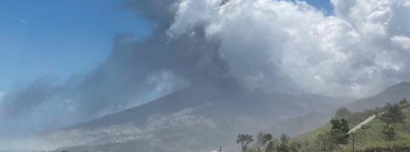
Image credit: UWI-SRC
According to information received from the Scientists at the Belmont Volcano Observatory, there were lahar flows within the river system in the Red and Orange Volcano Hazard Zones at St. Vincent island from 09:00 to 10:00 LT on April 27, 2021.
Lahar is a rapidly flowing dense mixture of debris, ash, and water, NEMO St. Vincent and the Grenadines said. They usually occur during heavy rain which creates mudflow that destroys everything in its path as it rushes down the volcano’s slopes faster than a river.
The lahars can pose a danger to persons visiting the Red and Orange Zones. As a result of this, the Royal St. Vincent and the Grenadines Police Force will be restricting persons traveling into the Red and Orange Hazard Zones.
According to the forecast received from St. Vincent and the Grenadines Meteorological Services, occasional showers are expected to continue from late Wednesday, April 28 into the end of the week.
Residents and motorists should remain alert due to rain-soaked ash and possible poor visibility due to volcanic ash.
The National Emergency Management Organisation (NEMO) is also urging persons to desist from visiting the Red and Orange Volcano Hazard Zones due to the potential danger.
La Soufrière scientific update April 27, 2021 6PM #lasoufriere #LaSoufriere #svg #uwi #stilldangerous #lasoufriereeruption2021 #TeamSRC #redalert #volcano #uwiseismic @cdemacu@NEMOSVG@dem_barbados pic.twitter.com/FmojKLx1fu pic.twitter.com/deVftqmemK
— UWISeismic Research (@uwiseismic) April 28, 2021
Geological summary
Soufrière St. Vincent is the northernmost and youngest volcano on St. Vincent Island. The NE rim of the 1.6 km (1 mile) wide summit crater is cut by a crater formed in 1812.
The crater itself lies on the SW margin of a larger 2.2 km (1.3 miles) wide Somma crater, which is breached widely to the SW as a result of slope failure.
Frequent explosive eruptions since about 4 300 years ago produced pyroclastic deposits of the Yellow Tephra Formation, which blanket much of the island.
The first historical eruption took place in 1718; it and the 1812 eruption produced major explosions.
Much of the northern end of the island was devastated by a major eruption in 1902 that coincided with the catastrophic Mont Pelée eruption on Martinique.
A lava dome was emplaced in the summit crater in 1971 during a strictly effusive eruption, forming an island in a lake that filled the crater prior to an eruption in 1979.
The lake was then largely ejected during a series of explosive eruptions, and the dome was replaced with another. (GVP)
I'm a dedicated researcher, journalist, and editor at The Watchers. With over 20 years of experience in the media industry, I specialize in hard science news, focusing on extreme weather, seismic and volcanic activity, space weather, and astronomy, including near-Earth objects and planetary defense strategies. You can reach me at teo /at/ watchers.news.
Commenting rules and guidelines
We value the thoughts and opinions of our readers and welcome healthy discussions on our website. In order to maintain a respectful and positive community, we ask that all commenters follow these rules.