
Atlantic Canada: Winter storm dumping heavy snow and freezing rain, postpone travel until conditions improve
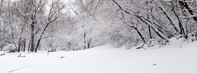
Image credit: Canadian Red Cross
A winter storm is forecast to continue engulfing and impacting much of Atlantic Canada as it intensifies by Friday evening, February 7, 2020. Schools and flights were canceled as a precaution, while Environment Canada warned residents to postpone travel until conditions ease.
As of Friday morning, Halifax in Nova Scotia saw 12 hours of freezing rain which is expected to continue through the southern areas of the province until the afternoon when it becomes rain. New Brunswick will also be affected as it moves into the central parts of the province, according to The Weather Network.
Several schools already postponed classes for Friday in anticipation of the storm. The main regions expected to be hit by the storm include Gatineau, Saint-Jerome, Sainte-Agathe-des-Monts, Granby, Drummondville, Victoriaville, Lac-Megantic, Joliette, Sorel-Tracy, Trois-Rivieres, La Malbaie, Riviere-du-Loup, Rimouski, Gaspe.
Various flights at airports in Moncton, Saint John, and Fredericton were also canceled.
Rapidly accumulating snow, poor visibility, and slippery roads may create difficult driving conditions across much of New Brunswick.
"Motorists should also be aware of slippery ice and slushy areas as well so that's something to take into account when you're driving," warned Felicia Murphy, spokesperson for SNC Lavalin– the company that maintains the highways from the Quebec border to Longs Creek and Route 95 from Woodstock to the Main border as the ground was covered with snow.
Over 12 hours of freezing rain already reported in Nova Scotia as of this morning. More on the way along with heavy snowfall for New Brunswick Join our meteorologists @kellysonnenburg and @jwhittalTWN for details right here #NSStorm #NBStorm #ATLStorm https://t.co/BrDvESYoFO pic.twitter.com/LZIcxbUkE1
— The Weather Network (@weathernetwork) February 7, 2020
Everythings frozen or freezing in #halifax rn #nsstorm pic.twitter.com/Po00i3tdrc
— John Morris (@jmweb) February 7, 2020
Freezing rain is forecast to move into the Avalon and in central Newfoundland by Friday evening. Portions of southwestern Nova Scotia are forecast to receive 30 mm (1.2 inches) of rain through the day, with decreasing amounts as it moves east towards Halifax which will get 10 to 20 mm (0.4 to 0.8 inches) of rain.
Northern New Brunswick, on the other hand, is expected to see up to 40 cm (16 inches) of snow before the storm tapers off in the evening.
The heaviest snow is likely in northern and western Newfoundland, with overalls enhanced by sea-effect snow blown by cool winds. Amounts will reach up to 50 cm (20 inches) through Saturday, February 8.
Strong winds will accompany freezing rain and snow, which prompted authorities to issue wind warnings for most parts of Atlantic Canada. They will pick up Friday afternoon and evening in New Brunswick and Nova Scotia, where the latter is likely to see gusts up to 100 km/h (62 mph), peaking overnight.
Wind warnings also remain in place for southern Newfoundland, with similarly strong winds forecast, increasing from the south overnight into Saturday morning. Light snow will also continue into the said day.
Environment Canada urged citizens to avoid non-essential travel until conditions improve.
"Consider postponing non-essential travel until conditions improve. Rapidly accumulating snow will make travel difficult. Prepare for quickly changing and deteriorating travel conditions. Visibility may be suddenly reduced at times in heavy snow."
Heavy snow is expected to continue all day for Quebec, with powerful winds and reduced visibility likely to cause treacherous travel conditions for the Friday evening commute. #QCstorm #meteoQC
— The Weather Network (@weathernetwork) February 7, 2020
Commenting rules and guidelines
We value the thoughts and opinions of our readers and welcome healthy discussions on our website. In order to maintain a respectful and positive community, we ask that all commenters follow these rules.