
Severe storms produce hail up to 5.1 cm (2 inches) across Denver area and eastern Colorado
Severe thunderstorms moved across the Denver metropolitan area and the eastern plains of Colorado, U.S., on June 1, 2026, producing hail up to 5.1 cm (2 inches) in diameter and several funnel cloud reports.
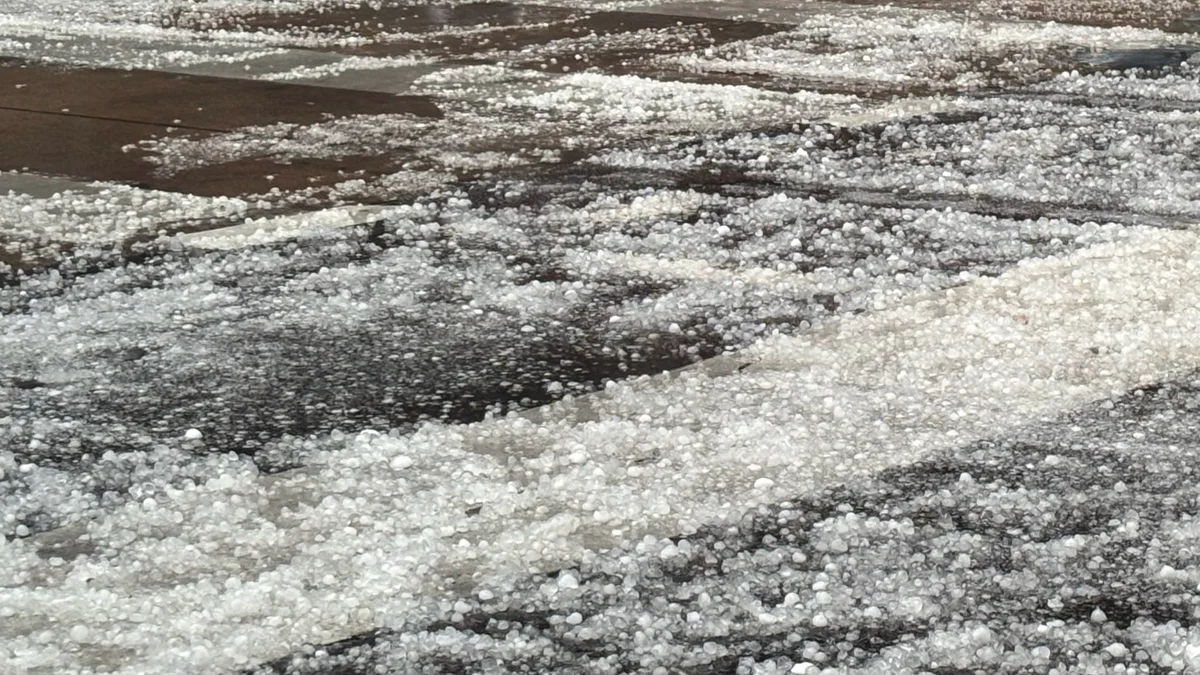
Hail in Denver on June 1, 2026. Credit: cchristinachen/X
The severe weather began in Denver just after 13:00 LT, with an NWS employee and trained spotters measuring 2.5 cm (1 inch) hail near Edgewater and central Denver. Golf ball-sized hail reaching 4.4 cm (1.75 inches) was recorded in northwest Denver at 13:10 LT, with another report of 2.5 cm (1 inch) hail just west of the city.
Between 13:11–13:20 LT, the storm intensified over southeast and east Denver, dropping 3.8 cm (1.5 inches) hail and several 2.5 cm (1 inch) hail. A trained spotter confirmed the city’s largest measured hailstone of 4.4 cm (1.75 inches) 6.4 km (4 miles) east of Denver at 13:22 LT.
As the activity moved east, additional hail reports ranged from 2.2–3.2 cm (0.88–1.25 inches) across east Denver, followed by a 2.5 cm (1 inch) public report northwest of the city at 13:33 LT. Simultaneously, the storm affected Douglas County, where the public reported 3.8 cm (1.5 inches) hail near Chatfield Reservoir and 3.2 cm (1.25 inches) hail east of Greenland.
Several funnel clouds were reported around 13:35 MDT near Chatfield Reservoir, Kassler, and Castle Pines. A trained spotter 4.8 km (3 miles) west of Castle Pines reported a clean, wide funnel descending from the southwest edge of the storm for about five minutes before it became ropy and disappeared.
The storm system pushed into the Aurora area, dropping 2.5 cm (1 inch) hail west of the city at 13:40 LT and 3.2 cm (1.25 inches) north of Aurora at 14:05 LT. Progressing eastward into Adams and Arapahoe counties, public and broadcast media reports documented 2.5 cm (1 inch) hail near Watkins and Buckley Air Force Base before 14:50 LT.
Communities surrounding Bennett experienced a period of large hail between 15:02–15:12 LT. Reports peaked when a trained spotter estimated 5.1 cm (2 inches) just south-southeast of Bennett, accompanied by multiple public and media reports of hail ranging from 3.2–4.4 cm (1.25–1.75 inches).
At 15:25 LT, 2.2 cm (0.88 inch) hail was reported along with a funnel cloud tracking through Douglas County. The severe cells then extended into the northern plains, where 3.8 cm (1.5 inches) hail was recorded near Strasburg, followed by 2.5 cm (1 inch) hail near Natural Fort in Weld County.
The largest hail on the eastern plains struck 9.7 km (6 miles) east of Woodrow in Washington County, where the public measured hailstones up to 5.1 cm (2 inches) in diameter at 16:21 LT. Elbert County also reported substantial hail shortly afterward, including 3.2 cm (1.25 inches) hail in Simla, 2.5 cm (1 inch) hail near Elizabeth, and 3.8 cm (1.5 inches) hail near Matheson.
Late-afternoon reports included 2.5 cm (1 inch) hail in Limon at 17:40 MDT. The strongest wind gust was recorded at 18:28 LT, when a mesonet station south of Holyoke measured a thunderstorm wind gust of 97 km/h (60 mph).
References:
1Local Storm Report – NWS – June 1, 2026

I’m a science journalist and researcher at The Watchers, contributing to the Epicenter edition, where I cover peer-reviewed scientific research and emerging discoveries across Earth and space sciences. With a background in astronomy and a passion for environmental science, I’ve worked in shark and coral conservation in Fiji, conducting reef and shark-behavior research, contributing to mangrove restoration, and earning PADI Open Water and Coral Reef Certifications. I bring a blend of scientific rigor and storytelling to illuminate the discoveries shaping our planet and beyond.
Commenting rules and guidelines
We value the thoughts and opinions of our readers and welcome healthy discussions on our website. In order to maintain a respectful and positive community, we ask that all commenters follow these rules.