
New paroxysm at Mount Etna
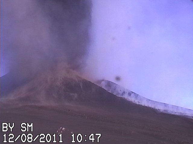
Image credit: TW
Throughout 2011, activity at Sicily’s Mount Etna has been characterized by paroxysms: short, violent bursts of activity. Each event has included volcanic tremors, ash emissions, and lava flows centered around the New Southeast Crater, just below the summit.

On August 12, 2011, Etna had its tenth paroxysm of the year, captured in this natural-color satellite image. Etna spewed a thick white plume of gas and ash to the southeast, towards the nearby city of Catania. The ash cloud was produced by vigorous lava fountaining at the New Southeast Crater. The Toulouse Volcanic Ash Advisory Center estimated ash emissions reached an altitude of 14,000 feet (4,300 meters); 2,000 feet (600 meters) above the 10,925-foot (3,330-meter) summit. The image was captured at 11:40 a.m. local time by the Moderate Resolution Imaging Spectroradiometer (MODIS) aboard the Terra satellite. (EO)
Istituto Nazionale Di Geofisica E Vulcanologia
Strombolian activity has restarted at the “New SE crater” of Etna volcano, which means that, most likely, the 10th paroxysm is under way – IF the volcano behaves as during the past 9 episodes, where strombolian activity increased to violent lava fountain eruptions within 12-72 hours after the onset of such strombolian activity.
The activity can be followed well at the RadioStudio7 webcamas.
INGV Sezione di Catania_report 12-08-2011.
| On the morning of August 12, 2011, took place on 10th paroxysmal episode from the New South-East Crater. At Stromboli, on the night between 11 and 12 August 2011, there was a further episode of spattering, which produced a small lava flow reomorfica. A more detailed report will be put online in the evening.
On the morning of 12 August 2011, the New Southeast Crater of Etna produced paroxysmal eruptive episode of the 10th this year. At Stromboli, During the night of 11-12 August 2011, a new episode of spattering produced a small lava flow rheomorphic. A more detailed report will be posted here soon. |


Earlier reporting
Nothing on Watchers was published in the last 24 hours. These are older articles.
- On October 22, 2017, a single flash of lightning stretched 515 miles from eastern Texas to near Kansas City, a distance that takes eight hours to drive, and nobody realized how far it had gone until scientists went back through the satellite data years later Epicenter
- CPC posts a slight risk of heavy rain from the Gulf Coast to the Northeast urban corridor November 25-29, and a moderate risk of West Coast wind and Sierra snow on November 25
- Florida's east coast faces a moderate flash flood risk Wednesday through Friday, with 4 to 8 inches of rain forecast and the St. Johns River near Cocoa already in major flood at 17.13 feet
- Cyclone Akvan to make landfall between Nellore and Visakhapatnam around noon on November 20, IMD forecasts 120-130 km/h winds gusting to 145
