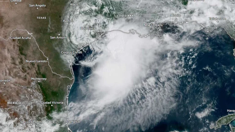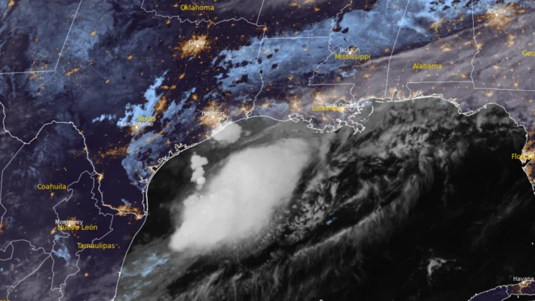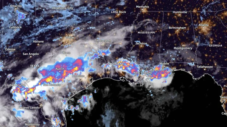
One dead as flooding from Arthur’s remnants damages dams, forces evacuations, Mississippi
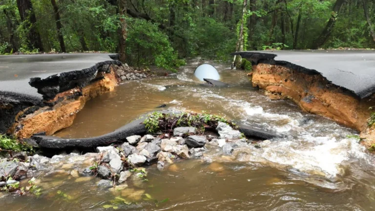
One person died as flooding linked to the remnants of Tropical Storm Arthur prompted water rescues, evacuations, and road closures across parts of Mississippi and Louisiana on June 18, 2026. A dam in the Swan Lake in northern Harrison County was damaged in Mississippi while up to 610 mm (24 inches) of rain fell in parts of Louisiana.