• Super Typhoon Champi becomes the strongest tropical cyclone of 2026, Signal No. 2 remains over Batanes, Philippines

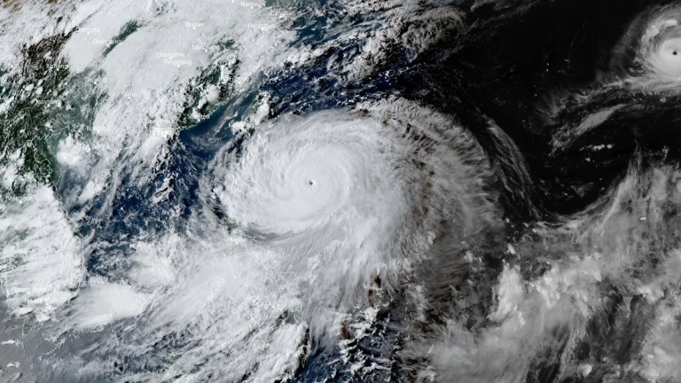
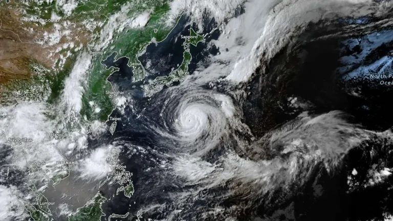
    Super Typhoon Champi, locally named Rosal, became the strongest tropical cyclone of 2026 by maximum sustained wind speed when it reached 296 km/h (185 mph) on October 20, according to NASA’s MODIS program. The cyclone weakened on October 21 while moving toward waters east of the northern Philippines, where PAGASA maintained Tropical Cyclone Wind Signal No. 2 over Batanes and warned of heavy rain and waves reaching 10 m (33 feet).
  • Champi briefly reaches super typhoon strength after its closest approach to Guam causes widespread outages

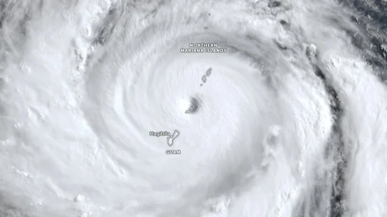
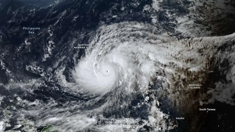
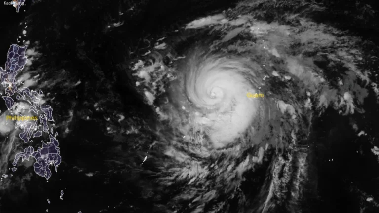
    Typhoon Champi passed about 16 km (10 miles) south of Merizo, Guam, at 04:26 ChST on October 18 (18:26 UTC on October 17) and was upgraded to a super typhoon about three hours later. The Joint Typhoon Warning Center (JTWC) post-analysis placed its 00:00 UTC intensity at 269 km/h (167 mph) before the cyclone weakened to 222 km/h (140 mph) by 12:00 UTC, while Guam authorities reported widespread power outages and disruptions to water services.

  • Super Typhoon Bavi strengthens into Category 5 as Guam, Northern Mariana Islands brace for possible catastrophic impacts

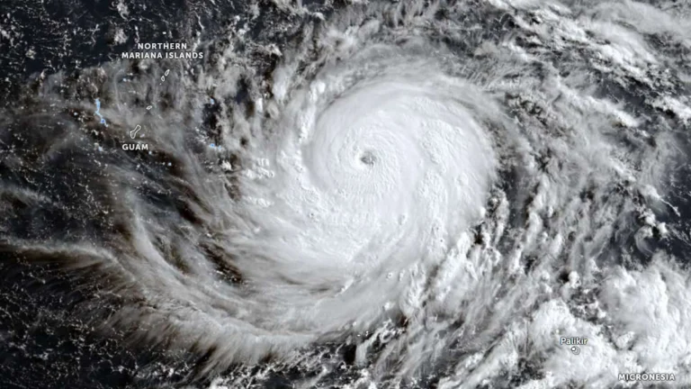
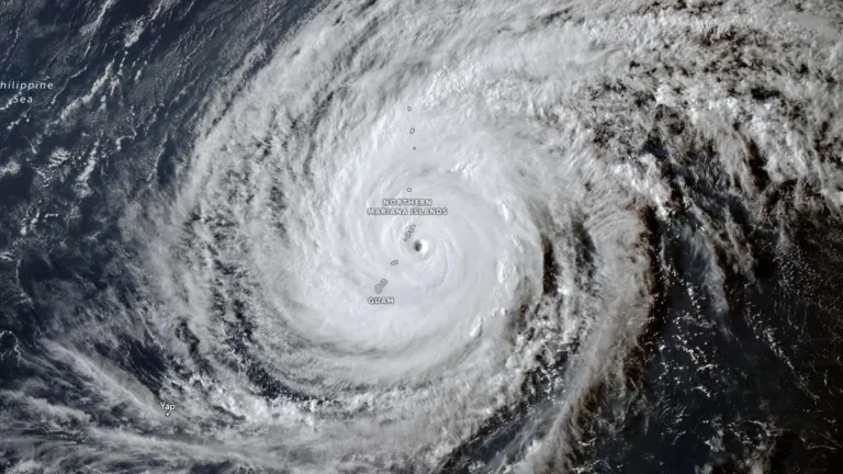
    Super Typhoon Bavi reached Category 5 strength over the western North Pacific on Saturday, July 4, 2026 as it tracked toward the Mariana Islands. Forecasters expect the cyclone to pass very near Rota before moving between Guam and Saipan on Monday morning. Typhoon warnings have been issued for Guam, Rota, Tinian, and Saipan amid forecasts of destructive winds, life-threatening coastal inundation, widespread flash flooding and catastrophic damage early next week.

  • Typhoon Bavi forecast to approach the Mariana Islands as a Category 5 super typhoon

    Typhoon Bavi rapidly intensified over the western North Pacific on Friday, July 3, 2026, increasing from 157 km/h (98 mph) to 194 km/h (121 mph) within six hours. The storm is forecast continue strengthening potentially becoming a Category 5 equivalent super typhoon by Sunday, July 5. Typhoon, tropical storm and flood watches remained in effect Friday across Guam and the Commonwealth of the Northern Mariana Islands.

  • Bavi forecast to intensify into super typhoon near Northern Mariana Islands

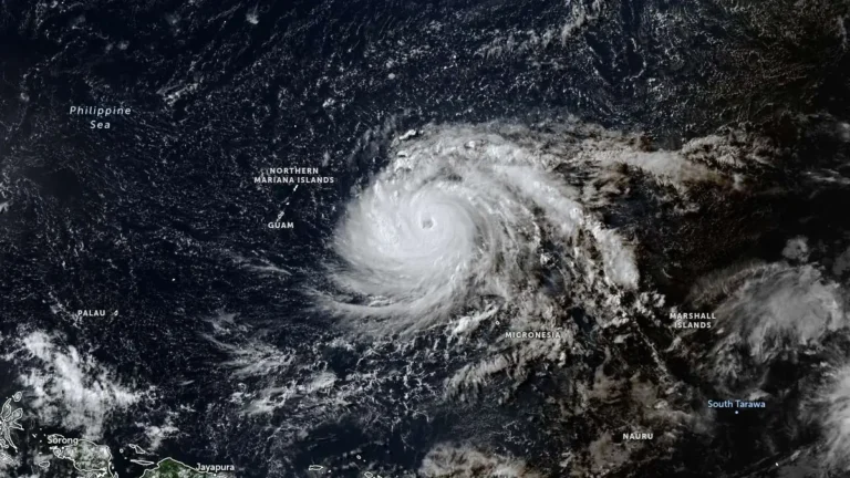
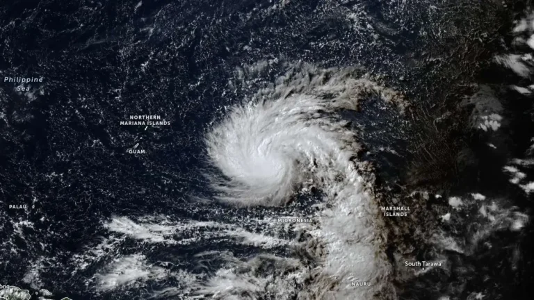
    Tropical Storm Bavi is forecast to undergo rapid intensification from late July 2, 2026, and become a super typhoon as it approaches the Northern Mariana Islands. The Joint Typhoon Warning Center (JTWC) forecast issued at 09:00 UTC calls for 1-minute sustained winds of 250 km/h (155 mph) near the system’s peak intensity around July 5.

  • Super Typhoon Sinlaku nears Saipan and Tinian with destructive winds, flooding and dangerous surf

    Super Typhoon Sinlaku approached Saipan and Tinian on April 14, 2026, with destructive typhoon-force winds, life-threatening coastal flooding and torrential rain expected through Wednesday. The National Weather Service said the storm’s center was just southeast of the islands Tuesday afternoon local time, with the eyewall nearing both islands and dangerous conditions already affecting parts of the Marianas.

  • Typhoon Sinlaku forecast to reach super typhoon strength before nearing the Marianas, Typhoon Warnings issued for Rota, Tinian and Saipan

    Typhoon Sinlaku intensified into a dangerous major typhoon over the western Pacific on April 12, 2026, as officials issued typhoon warnings for Rota, Tinian and Saipan, and a tropical storm warning for Guam. The storm was forecast to strengthen further on April 13, reaching super typhoon strength, before nearing the Marianas, where destructive winds, coastal inundation, and flash flooding are possible from late April 13 into April 14.

  • Super Typhoon Ragasa moving toward Philippines, China and Vietnam

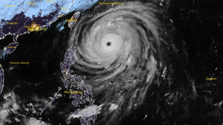
    Typhoon Ragasa, known locally as Nando, intensified into a super typhoon 00:00 UTC (08:00 LT) on September 21, 2025, east of Cagayan, Philippines. By 09:00 UTC, its center was located 450 km (280 miles) east of Aparri with sustained winds of 185 km/h (115 mph) and gusts up to 230 km/h (145 mph). The system is moving west-northwest toward Batanes and the Babuyan Islands, bringing life-threatening storm surges exceeding 3 m (10 feet), destructive winds, and very rough seas.