• Adelaide hit by 70% of its July rainfall in one day as successive cold fronts bring flooding and damaging winds to South Australia

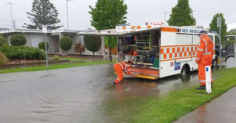
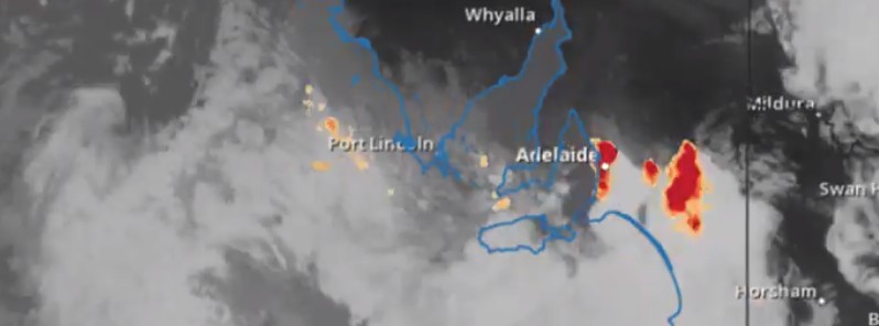
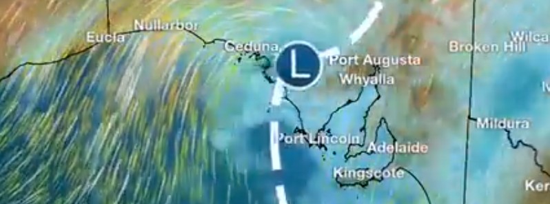
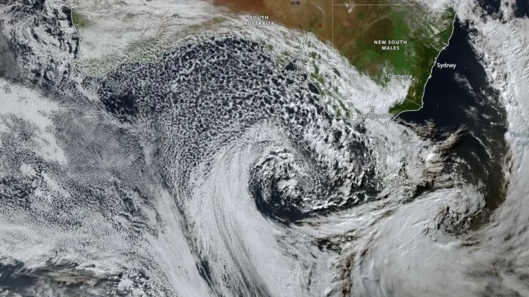
    Heavy rain from successive winter cold fronts flooded roads and properties across South Australia during July 2–3, 2026, prompting hundreds of State Emergency Service (SES) call-outs, disrupting transport, triggering a statewide Code Blue response for vulnerable people and delivering more than 100 mm (3.9 inches) of rain to parts of the Mount Lofty Ranges, according to the Bureau of Meteorology (BOM) and the SES.

  • Desert rainfall anomaly triggers major flooding across central Australia

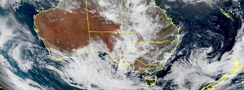
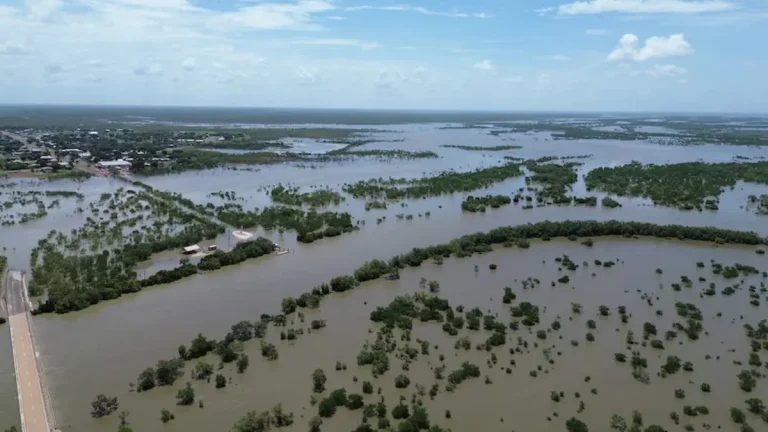
    A near-stationary tropical low has triggered one of the most significant inland rainfall events in recent decades, inundating vast areas of central Australia and prompting disaster declarations across the Northern Territory. More than 600 mm (24 inches) of rain has been recorded at some remote stations, with additional heavy rainfall forecast to expand south into South Australia and Victoria through early next week, increasing the risk of further flooding. Meteorologists described it as a remarkable and highly unusual meteorological event.

  • Severe thunderstorms cause widespread power outages across Victoria, NSW, and South Australia

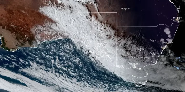
    Severe thunderstorms, triggered by a cold front and unstable humid air, hit southeastern Australia, bringing destructive winds, hail, and heavy rain. The storms intensified on Thursday, October 17, 2024 and peaked on Friday, causing flash flooding, power outages, and infrastructure damage across Victoria, New South Wales, and South Australia.