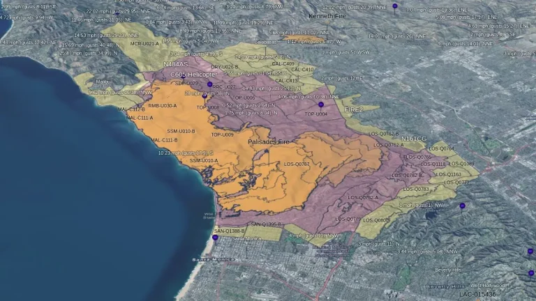
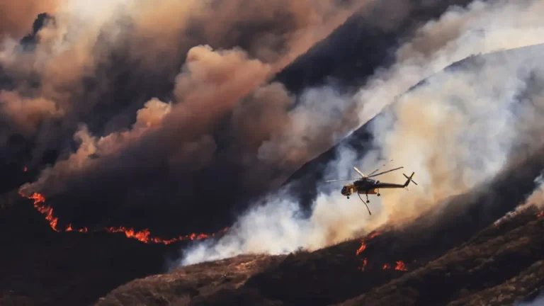
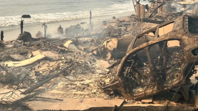
• Real-time aircraft tracking shows firefighting efforts on the massive Palisades Fire, Los Angeles County

    The Palisades Fire, now the largest of six active wildfires in Los Angeles County, has scorched over 15 400 ha (38 000 acres), destroyed 5 300 structures, and forced new evacuations as containment remains at 11%. To improve public awareness and operational transparency, CAL FIRE LNU has introduced real-time 3D aircraft tracking on its incident map.

  • Palisades Fire grows to most destructive wildfire in Los Angeles County’s history, California

    The Palisades Fire, now the most destructive wildfire in Los Angeles County’s history, has burned through over 8 094 ha (20 000 acres), destroyed more than 5 300 structures, and left Pacific Palisades in ruins since it ignited on January 7, 2024. With only 6% containment, the fire has ravaged entire neighborhoods, including some of the nation’s most affluent areas.