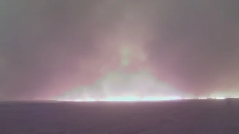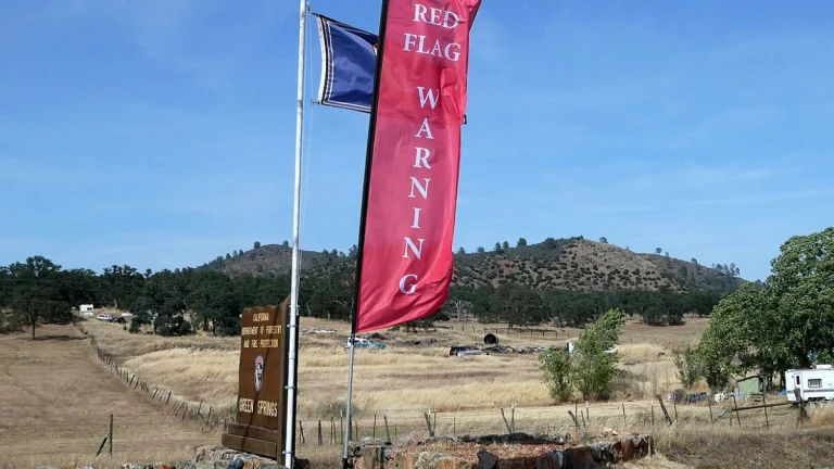
State of Emergency declared in Oklahoma as wildfires scorch over 72 770 ha (155 000 acres)
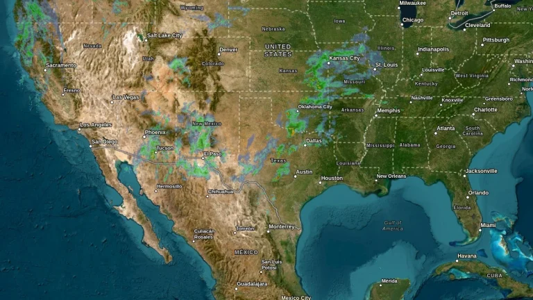
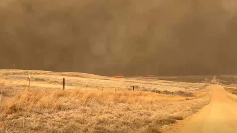
Multiple wildfires burning across Oklahoma have scorched over 62 720 ha (155 000 acres) as of February 18, 2026, prompting Governor Kevin Stitt to declare a State of Emergency in Beaver, Texas, and Woodward counties. The Ranger Road Fire alone burned approximately 58 700 ha (145 000 acres) across Oklahoma and southern Kansas, with 0% containment reported.