• Record-breaking heat to peak through July 14 from the Great Basin to the Northern Plains, U.S.

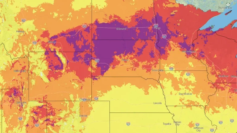
    Dangerous and potentially record-breaking heat is forecast to peak through July 14, 2026, across the western and north-central United States. Billings, Montana, already shattered its all-time temperature record on July 12, while Salt Lake City, Utah, tied for its second-highest reading ever, just short of its own all-time mark. More locations could still challenge records as the heat continues into Tuesday. Very warm nights are adding to the danger by increasing heat stress over several consecutive days.
  • Enhanced Risk of severe thunderstorms issued for eastern South Dakota, southwest Minnesota, and northwest Iowa

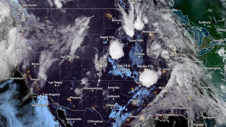
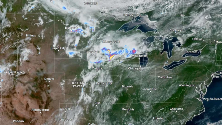
    The Storm Prediction Center (SPC) has placed parts of eastern South Dakota, southwest Minnesota and northwest Iowa under an Enhanced Risk of severe thunderstorms through Thursday, July 2, 2026. A broader Slight Risk extends from the Dakotas into the western Great Lakes and includes western Kansas, the Tennessee Valley and the southern Appalachians. Damaging wind gusts and large hail are expected to be the primary severe weather hazards across the affected regions.

  • Saskatchewan records first EF3 tornado since 2010 near Oxbow, Canada

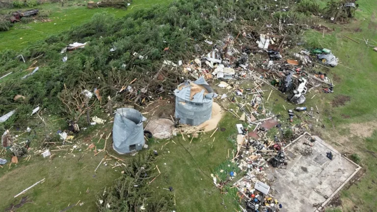
    Saskatchewan’s first EF3 tornado since 2010 struck near Oxbow on June 9, 2026. The tornado tracked 32 km (20 miles) on the Canadian side of the border, producing estimated peak winds of 245 km/h (152 mph). It claimed the life of a pet animal, destroyed buildings at a farm property, and caused damage that extended into North Dakota, United States.

  • Enhanced Risk issued for severe storms across Northern Plains, tornadoes, very large hail, and damaging winds forecast

    The Storm Prediction Center has placed parts of the Northern Plains under an Enhanced Risk (Level 3/5) for severe thunderstorms on June 9, 2026, as a strengthening low-pressure system emerging from the northern Rockies is forecast to support numerous storms capable of producing very large hail, damaging winds, and tornadoes, including a few strong tornadoes, from eastern North Dakota and northeastern South Dakota into northwestern Minnesota.

  • Heavy ice, sleet, and snow forecast across Upper Midwest and Great Lakes, multiple warnings and advisories issued

    A late-season winter storm is forecast to impact the Upper Midwest and Great Lakes region from late April 1 through April 3, 2026, bringing widespread freezing rain, sleet, and snow across multiple states. Ice Storm Warnings, Winter Storm Warnings, Winter Weather Advisories, and Winter Storm Watches are in effect, with ice accumulations up to 10 mm (0.4 inches) and snowfall exceeding 45 cm (18 inches) in some areas, creating hazardous travel conditions and potential power outages.

  • Extreme cold watches expand as Arctic outbreak spreads across central United States

    A large and prolonged outbreak of Arctic air is spreading across the United States, prompting extreme cold watches across much of the northern and central United States from Thursday, January 22, 2026, through Friday, January 24. This Arctic outbreak will bring one of the most dangerous cold spells in recent years, with the greatest threat lasting from Thursday night through early Saturday morning.

  • Blizzard conditions and destructive winds forecast for the northern Plains and northern Rockies, U.S.

    A fast-moving winter storm is forecast to bring widespread blizzard conditions and destructive winds across parts of Montana, North Dakota, and Minnesota through Wednesday night into Thursday, December 17 into 18, 2025. The system, driven a deep low-pressure trough, is generating gusts up to 110 km/h (70 mph) and localized peaks over 130 km/h (80 mph) in leeward mountain areas, potentially leading to whiteout conditions, road closures, and power outages across the region.