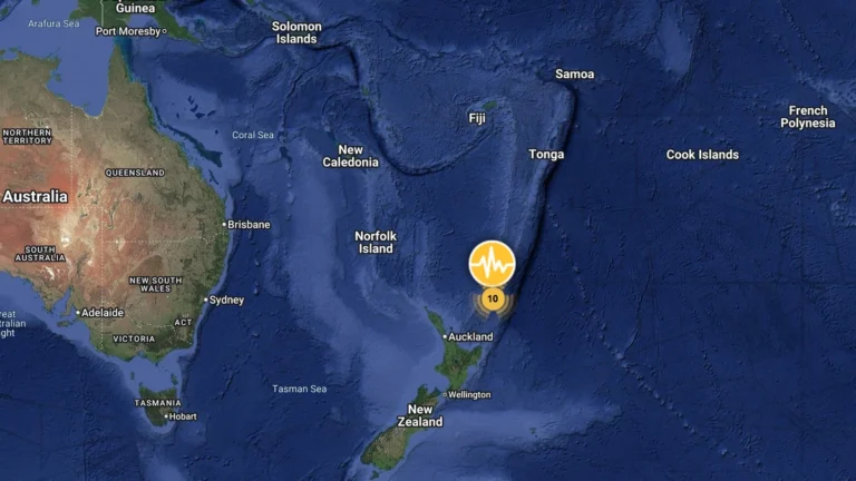
• M6.3 earthquake hits south of the Kermadec Islands

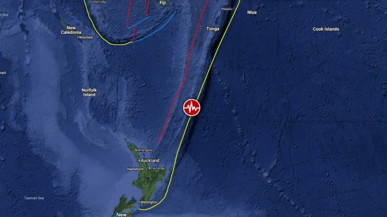
    A strong earthquake registered by the USGS as M6.3 struck south of the Kermadec Islands at 07:43 UTC on August 5, 2026. The agency is reporting a depth of 226.1 km (140.5 miles). EMSC is reporting M6.3 at a depth of 226 km (140.4 miles). The USGS issued a Green alert for shaking-related fatalities and economic losses.
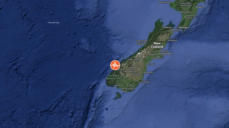
  • Strong M6.3 earthquake strikes near Te Anau, tsunami advisory canceled, New Zealand

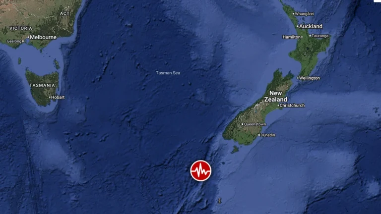
    A strong M6.3 earthquake struck 40 km (25 miles) north of Te Anau, South Island, New Zealand, at 21:14 NZST (09:14 UTC) on July 16, 2026, according to GeoNet. NEMA issued a National Advisory for tsunami activity for the western South Island coast from Milford Sound to Puysegur Point after the earthquake. The agency canceled the advisory after Earth Sciences NZ detected no tsunami signals for about two hours.

  • State of Emergency declared after flooding in Ōamaru, Red Warning covers Marlborough and Canterbury, New Zealand

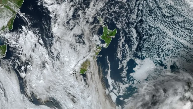
    A local state of emergency was declared in the Waitaki District after flooding affected Ōamaru, New Zealand, early July 6, 2026, as heavy rain, snow and strong winds disrupted parts of the South Island. A Red Heavy Rain Warning is now in force for Marlborough and Canterbury between Ward and Hanmer, and southeast of the Awatere Valley, including the Kaikōura ranges.

  • Record rainfall triggers flooding and evacuations in Wellington, New Zealand, one person missing

    Severe flooding and landslides struck Wellington, New Zealand, between April 20 and 21, 2026, after 77 mm (3 inches) of rain fell in less than 1 hour, prompting evacuations across multiple suburbs and leaving one person missing. A state of emergency remains in place as saturated ground and additional rainfall maintain the risk of further flooding and landslides.

  • State of emergency declared as Red Heavy Rain Warnings take effect in Wellington and Wairarapa, New Zealand

    Red Heavy Rain Warnings were issued for Wellington and Wairarapa on Monday, April 20, 2026, as flooding, swollen rivers, and landslides cut through infrastructure across the region, prompting the declaration of a state of emergency. Further heavy rain is forecast through Tuesday, April 21, with accumulations of up to 150 mm (5.9 inches) expected in the hardest-hit areas.

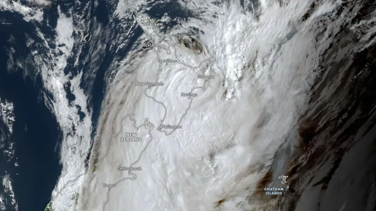
  • Cyclone Vaianu brings destructive winds, heavy rain and widespread disruption to New Zealand’s North Island

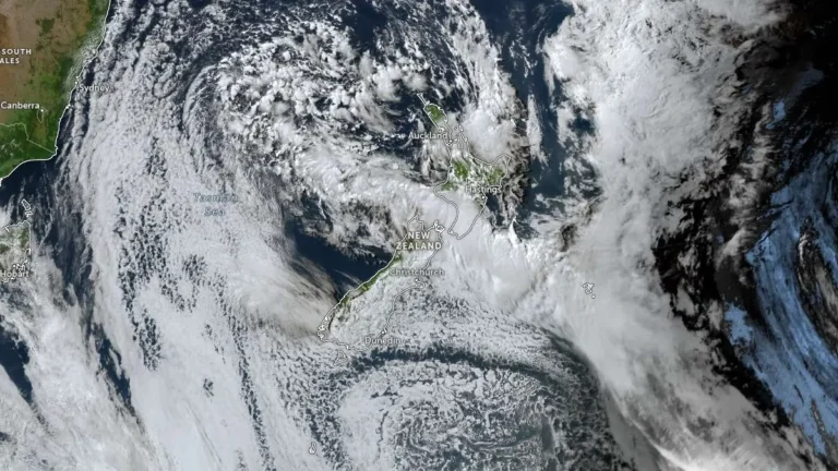
    Cyclone Vaianu crossed New Zealand’s North Island on Sunday, April 12, 2026, bringing damaging winds, torrential rain, and large swells that caused flooding, evacuations, power outages, and transport disruption across several districts. The storm made landfall near the Māketū Peninsula in Bay of Plenty shortly after 14:00 LT on Sunday before tracking southeast and moving offshore later that evening. Cleanup continued on Monday as authorities assessed slips, flood damage and coastal impacts.

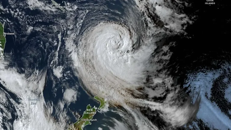
  • Red wind warning and widespread severe weather alerts issued as Cyclone Vaianu approaches North Island, New Zealand

    Cyclone Vaianu is forecast to move south across New Zealand’s North Island on Sunday, April 12, 2026, bringing a multi-hazard threat, including damaging winds up to 140 km/h (87 mph), heavy rainfall, and coastal inundation risk. A Red Strong Wind Warning is in force for the Coromandel Peninsula and Great Barrier Island, with widespread Orange warnings and watches covering much of the North Island and upper South Island. Significant disruption to transport, power supply, and communities is expected.