Woman found dead, hundreds rescued as historic floods hit Missouri
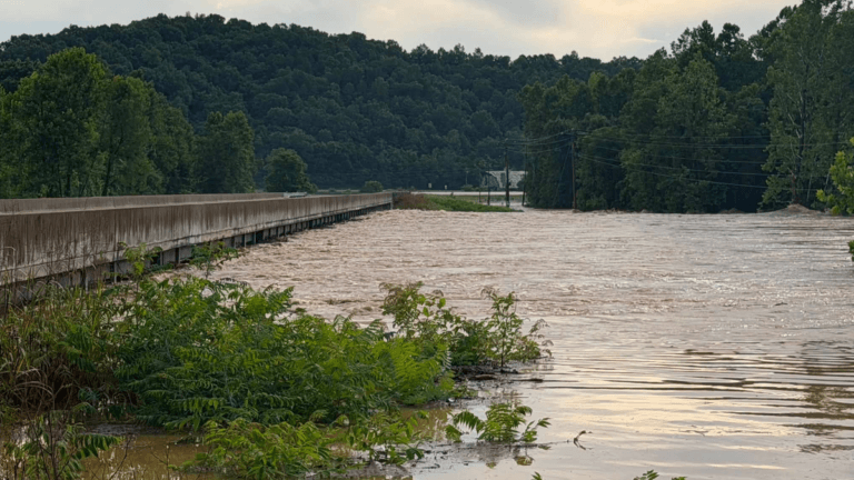
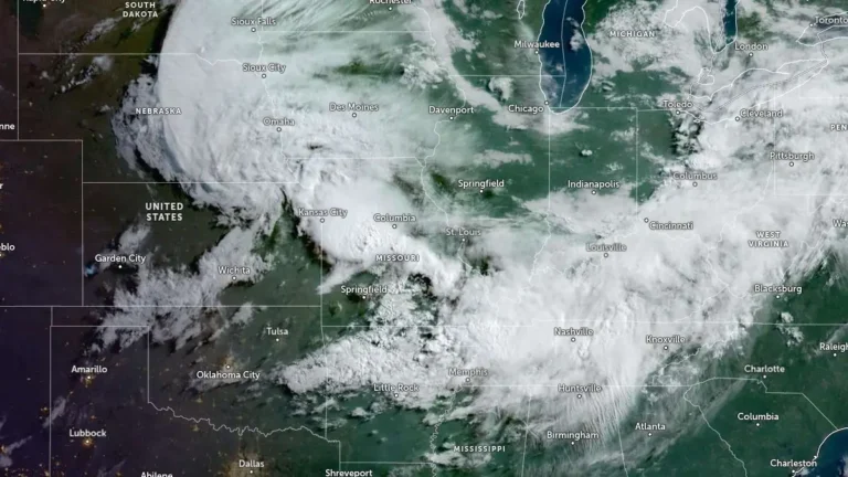
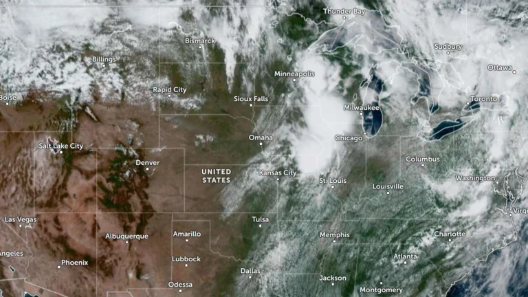
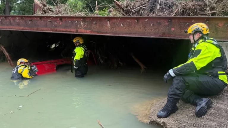
Authorities in Missouri recovered the body of a woman on July 11, 2026. The victim was reportedly swept away by floodwaters on July 10 as catastrophic flooding struck much of southeastern Missouri. Over 30 cm (12 inches) of rainfall was recorded in parts of the region in 24 hours, while the Black River rose to record heights. Hundreds of rescues were conducted across the state, with the relief operation still ongoing.