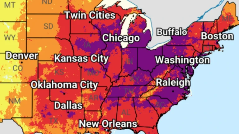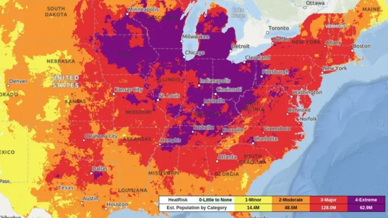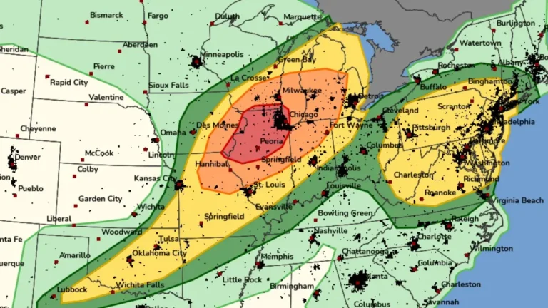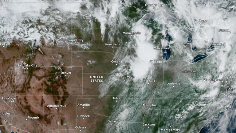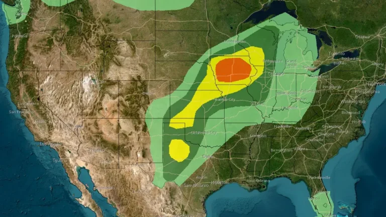
Enhanced Risk of severe thunderstorms issued for eastern South Dakota, southwest Minnesota, and northwest Iowa
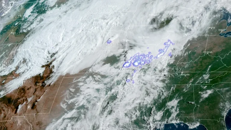
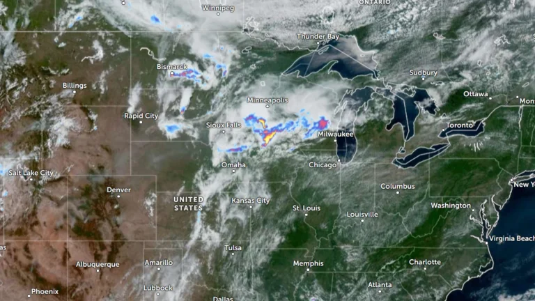
The Storm Prediction Center (SPC) has placed parts of eastern South Dakota, southwest Minnesota and northwest Iowa under an Enhanced Risk of severe thunderstorms through Thursday, July 2, 2026. A broader Slight Risk extends from the Dakotas into the western Great Lakes and includes western Kansas, the Tennessee Valley and the southern Appalachians. Damaging wind gusts and large hail are expected to be the primary severe weather hazards across the affected regions.