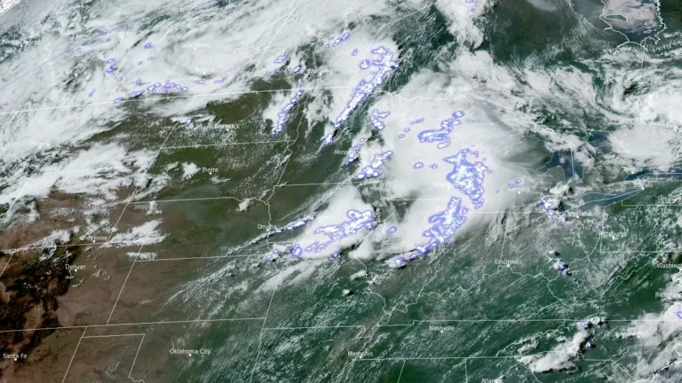
• Enhanced Risk issued, strong tornadoes, giant hail, and damaging winds forecast across the Midwest and Great Lakes

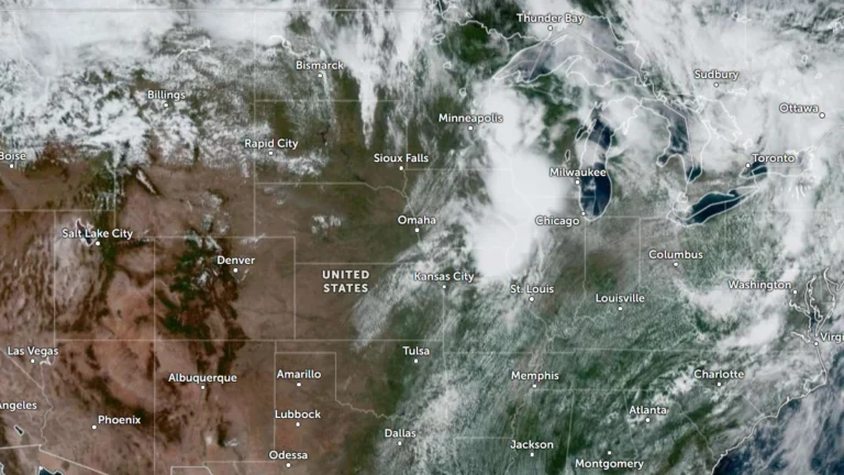
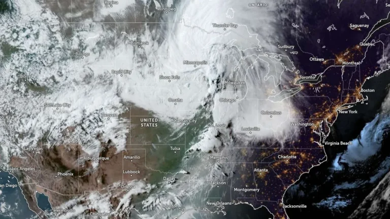
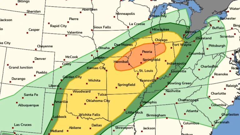
    The Storm Prediction Center (SPC) has placed parts of the Upper Mississippi Valley, Midwest and Great Lakes region under Enhanced Risk (Level 3 of 5) through June 11 and 12, 2026, warning that thunderstorms may produce hail larger than 5 cm (2 inches), wind gusts exceeding 120 km/h (75 mph) and several tornadoes, including a few strong tornadoes.

  • Severe storms leave over 260 000 without power, 1 dead across Midwest after tornado warnings in St. Louis and Illinois

    Severe storms moved across the Midwest on Monday, April 27, 2026, producing tornado warnings in the St. Louis area and Illinois, while heavy rain caused flooding into early Tuesday. More than 250 000 customers lost power across Missouri, Illinois, Kentucky, Indiana, Wisconsin, and Michigan, and at least one fatality was reported in Michigan after a tree fell during the storms.

  • Flooding impacts northern Indiana, southern Michigan and northwest Ohio after heavy rainfall

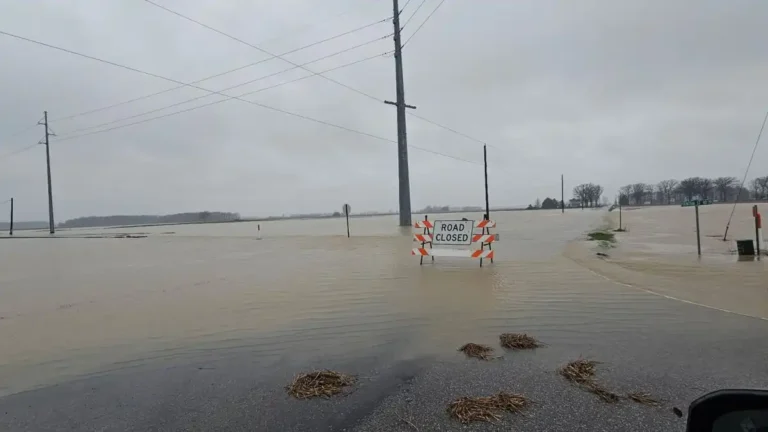
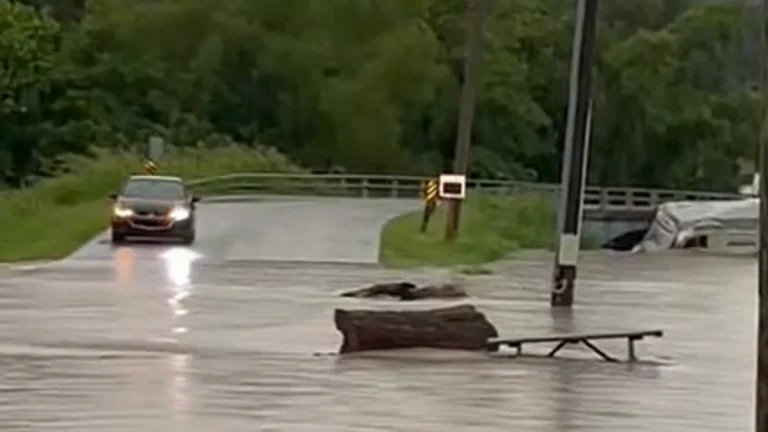
    Flooding developed across northern Indiana, southern Michigan, and northwest Ohio between March 31 and April 5, 2026, following multiple rounds of heavy rainfall totaling over 100 mm (4 inches) in many locations. Rivers including the St. Joseph, Maumee, and Tippecanoe rose rapidly to moderate flood stage, with some locations experiencing sharp rises within hours. Flooding impacted parks, infrastructure, and transportation, with additional storm damage reported in parts of Ohio.

  • Freeze Warnings issued for parts of Kentucky, Indiana, Illinois and Missouri

    Freeze Warnings have been issued across Kentucky, southern Indiana, southern Illinois, and southeast Missouri, with sub-freezing temperatures forecast overnight into March 28, 2026. The warnings are in effect from late March 27 through the morning hours of March 28, with minimum temperatures expected between −4°C and −1.5°C (24–29°F). Frost and freeze conditions are expected to damage crops, sensitive vegetation, and exposed outdoor plumbing.

  • NWS damage survey confirms EF-3 tornado that killed two in Lake Village, Indiana

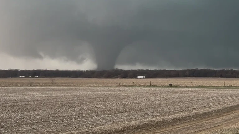
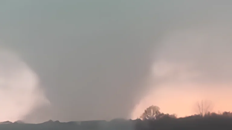
    An EF-3 tornado struck Lake Village, Newton County, Indiana during the evening of March 10, 2026, killing two people and destroying homes as a long-track supercell moved from northern Illinois into northwestern Indiana. A National Weather Service damage survey determined the tornado produced winds of about 240 km/h (150 mph) and tracked approximately 58.9 km (36.6 miles) across the region.

  • Severe storms leave at least five dead in Indiana after tornado hits Lake Village and floodwaters sweep vehicles away

    At least five people were reported dead across Indiana after severe storms triggered flooding and a destructive tornado between March 8 and 10, 2026. Two people were killed in Lake Village, Newton County, when a tornado destroyed multiple homes on March 10, while three others died in separate flooding incidents.

  • Destructive tornado damages homes in Kankakee County, Illinois, leaving thousands without power

    A destructive tornado struck Kankakee County, Illinois, during severe storms on March 10, 2026, causing significant structural damage and leaving more than 7 000 customers without power. The tornado tracked through the southwest portion of Kankakee and crossed into northwestern Indiana near Lake Village, damaging homes and infrastructure.

  • Enhanced Risk of severe thunderstorms for parts of Missouri, Iowa, Illinois and Indiana on March 10

    An Enhanced Risk of severe thunderstorms is in effect for parts of the Midwest on March 10, 2026, including northeast Missouri, southeast Iowa, northern and central Illinois, and northwest Indiana. The forecast environment supports the development of supercells and organized thunderstorm clusters capable of producing tornadoes, damaging wind gusts, and large hail during the afternoon and evening hours.