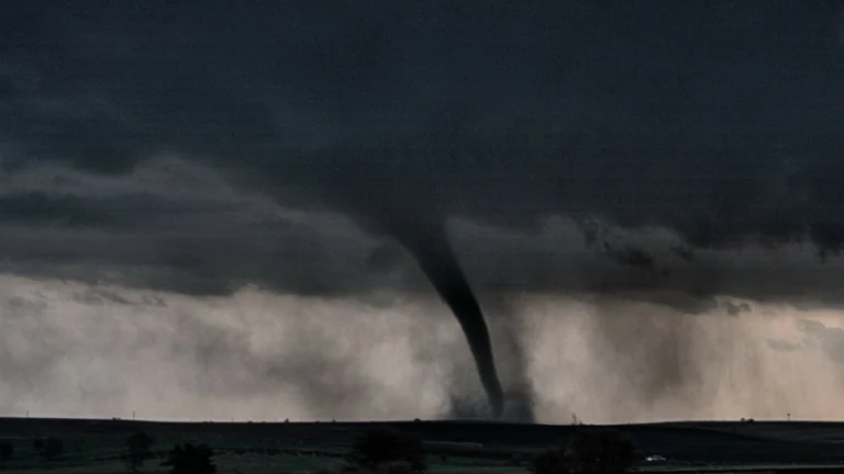
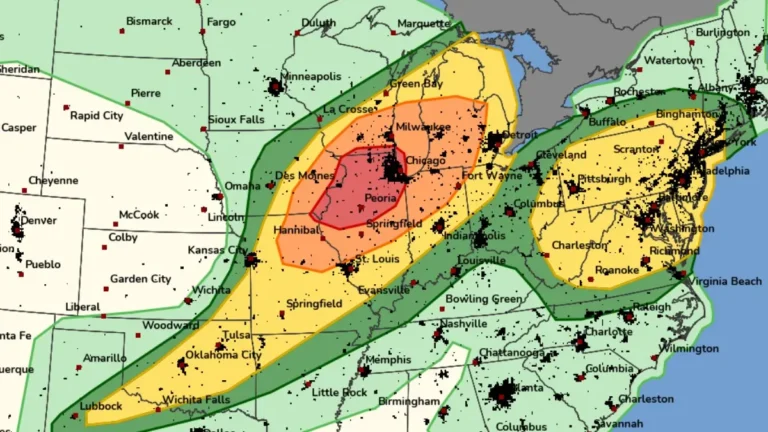
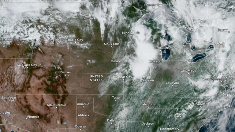
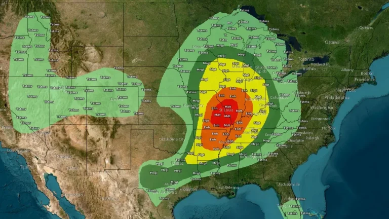
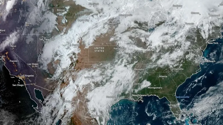
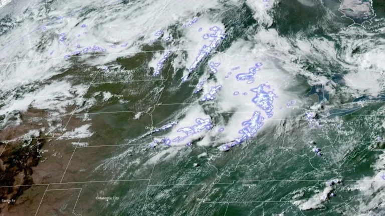
• Enhanced Risk issued, strong tornadoes, giant hail, and damaging winds forecast across the Midwest and Great Lakes

    The Storm Prediction Center (SPC) has placed parts of the Upper Mississippi Valley, Midwest and Great Lakes region under Enhanced Risk (Level 3 of 5) through June 11 and 12, 2026, warning that thunderstorms may produce hail larger than 5 cm (2 inches), wind gusts exceeding 120 km/h (75 mph) and several tornadoes, including a few strong tornadoes.

  • Strong tornadoes, giant hail threaten Iowa to southern Great Lakes as severe storms redevelop

    An Enhanced Risk of severe thunderstorms is in place from eastern Iowa into southern Wisconsin, northern Illinois, and the southern Great Lakes region on Tuesday, April 14, 2026, with large to giant hail, several tornadoes, some of which could be strong, and severe wind gusts possible from late afternoon through overnight. The threat follows an April 13 outbreak that produced at least 14 preliminary tornado reports across Kansas, Minnesota, Iowa, and Wisconsin, increasing concern over repeated impacts in parts of the Midwest.

  • Freeze Warnings issued for parts of Kentucky, Indiana, Illinois and Missouri

    Freeze Warnings have been issued across Kentucky, southern Indiana, southern Illinois, and southeast Missouri, with sub-freezing temperatures forecast overnight into March 28, 2026. The warnings are in effect from late March 27 through the morning hours of March 28, with minimum temperatures expected between −4°C and −1.5°C (24–29°F). Frost and freeze conditions are expected to damage crops, sensitive vegetation, and exposed outdoor plumbing.

  • A 15.2 cm (6 inches) hailstone in Kankakee could set a new Illinois record

    A 15.2 cm (6 inches) wide hailstone was measured in Kankakee, Illinois, on March 10, 2026, after an intense supercell produced a corridor of giant hail across parts of northern Illinois, according to the National Weather Service (NWS) in Chicago. The agency said the stone may be considered for a new Illinois state record, but its status remains unofficial pending verification.

  • Enhanced Risk of severe thunderstorms for parts of Missouri, Iowa, Illinois and Indiana on March 10

    An Enhanced Risk of severe thunderstorms is in effect for parts of the Midwest on March 10, 2026, including northeast Missouri, southeast Iowa, northern and central Illinois, and northwest Indiana. The forecast environment supports the development of supercells and organized thunderstorm clusters capable of producing tornadoes, damaging wind gusts, and large hail during the afternoon and evening hours.